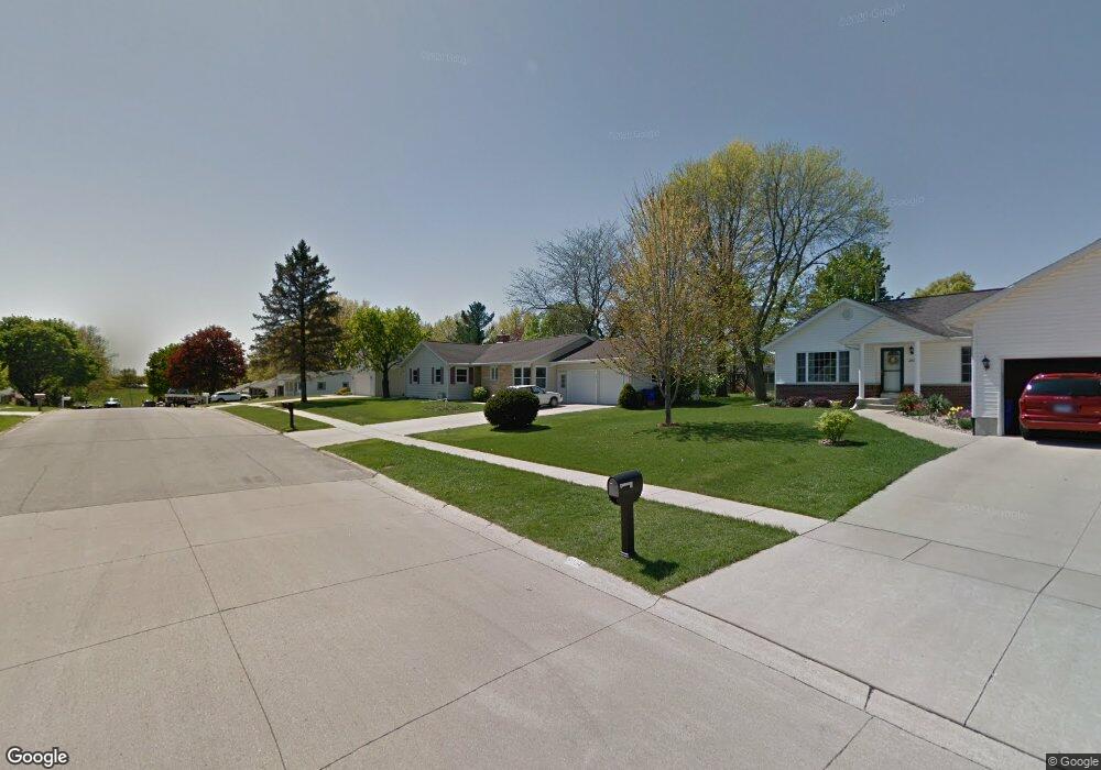
2010 Hughes Dr SW Cedar Rapids, IA 52404
Estimated Value: $235,694 - $272,000
3
Beds
2
Baths
1,622
Sq Ft
$154/Sq Ft
Est. Value
About This Home
This home is located at 2010 Hughes Dr SW, Cedar Rapids, IA 52404 and is currently estimated at $250,424, approximately $154 per square foot. 2010 Hughes Dr SW is a home located in Linn County with nearby schools including Junction City Elementary School, Perryville Elementary School, and Van Buren Elementary School.
Ownership History
Date
Name
Owned For
Owner Type
Purchase Details
Closed on
Nov 20, 2002
Sold by
Steffen James C and Steffen Rebecca L
Bought by
Bird Alan Dean and Bird Susan R
Current Estimated Value
Home Financials for this Owner
Home Financials are based on the most recent Mortgage that was taken out on this home.
Original Mortgage
$130,500
Outstanding Balance
$56,106
Interest Rate
6.38%
Estimated Equity
$194,318
Purchase Details
Closed on
Dec 21, 2000
Sold by
Hughes Evan R and Hughes Ellen Engstrom
Bought by
Steffen James C and Steffen Rebecca L
Purchase Details
Closed on
Jul 29, 1998
Sold by
Hughes Ralph E and Hughes Evan R
Bought by
Hughes Evan R and Hughes Ellen Engstrom
Create a Home Valuation Report for This Property
The Home Valuation Report is an in-depth analysis detailing your home's value as well as a comparison with similar homes in the area
Home Values in the Area
Average Home Value in this Area
Purchase History
| Date | Buyer | Sale Price | Title Company |
|---|---|---|---|
| Bird Alan Dean | $144,500 | -- | |
| Steffen James C | $109,500 | -- | |
| Hughes Evan R | -- | -- | |
| Hughes Evan R | -- | -- |
Source: Public Records
Mortgage History
| Date | Status | Borrower | Loan Amount |
|---|---|---|---|
| Open | Bird Alan Dean | $130,500 | |
| Closed | Steffen James C | $0 |
Source: Public Records
Tax History Compared to Growth
Tax History
| Year | Tax Paid | Tax Assessment Tax Assessment Total Assessment is a certain percentage of the fair market value that is determined by local assessors to be the total taxable value of land and additions on the property. | Land | Improvement |
|---|---|---|---|---|
| 2025 | $3,520 | $272,900 | $51,000 | $221,900 |
| 2024 | $3,844 | $255,800 | $44,900 | $210,900 |
| 2023 | $3,844 | $216,400 | $42,800 | $173,600 |
| 2022 | $3,444 | $191,100 | $42,800 | $148,300 |
| 2021 | $3,656 | $175,200 | $38,800 | $136,400 |
| 2020 | $3,656 | $174,300 | $32,600 | $141,700 |
| 2019 | $3,286 | $161,000 | $32,600 | $128,400 |
| 2018 | $3,192 | $161,000 | $32,600 | $128,400 |
| 2017 | $3,277 | $154,200 | $32,600 | $121,600 |
| 2016 | $3,277 | $154,200 | $32,600 | $121,600 |
| 2015 | $3,321 | $156,050 | $32,640 | $123,410 |
| 2014 | $3,136 | $156,050 | $32,640 | $123,410 |
| 2013 | $3,064 | $156,050 | $32,640 | $123,410 |
Source: Public Records
Map
Nearby Homes
- 2404 25th St SW
- 2207 Shady Grove Rd SW
- Remington - Cedar Rapids Plan at Whispering Pines
- Copeland Plan at Whispering Pines
- Meadowbrook - Cedar Rapids Plan at Stags Leap Estates
- Caldwell Plan at Stags Leap Estates
- Concord - Cedar Rapids Plan at Stags Leap Estates
- Yuma Expanded Plan at Whispering Pines
- Becker II Plan at Kirkwood Village - Kirk Wood Village
- Meadowbrook - Cedar Rapids Plan at Whispering Pines
- Richland Plan at Stags Leap Estates
- Prescott - Cedar Rapids Plan at Stags Leap Estates
- Becker Plan at Kirkwood Village - Kirk Wood Village
- Bakersfield - Cedar Rapids Plan at Whispering Pines
- Cedar Plan at Stags Leap Estates
- Becker - Cedar Rapids Plan at Whispering Pines
- Becker II - Cedar Rapids Plan at Whispering Pines
- Becker II - Cedar Rapids Plan at Stags Leap Estates
- Concord - Cedar Rapids Plan at Whispering Pines
- Yuma Expanded Plan at Stags Leap Estates
- 2018 Hughes Dr SW
- 2004 Hughes Dr SW
- 2009 Probst Ct SW
- 2026 Hughes Dr SW
- 2015 Probst Ct SW
- 2021 Probst Ct SW
- 2003 Probst Ct SW
- 1919 Probst Ct SW
- 2009 Hughes Dr SW
- 2015 Hughes Dr SW
- 2027 Probst Ct SW
- 2003 Hughes Dr SW
- 2100 Hughes Dr SW
- 2021 Hughes Dr SW
- 1913 Probst Ct SW
- 1918 Hughes Dr SW
- 1926 Hughes Dr SW
- 2101 Probst Ct SW
- 1935 Hughes Dr SW
- 1907 Probst Ct SW