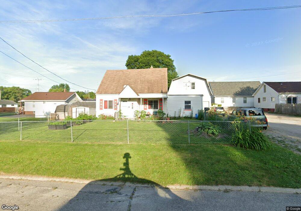
2010 Jarvis St Flint, MI 48507
South Side NeighborhoodEstimated Value: $77,522 - $94,000
3
Beds
3
Baths
1,293
Sq Ft
$66/Sq Ft
Est. Value
About This Home
This home is located at 2010 Jarvis St, Flint, MI 48507 and is currently estimated at $85,631, approximately $66 per square foot. 2010 Jarvis St is a home located in Genesee County with nearby schools including Eisenhower School, Flint Southwestern Classical Academy, and International Academy of Flint (K-12).
Ownership History
Date
Name
Owned For
Owner Type
Purchase Details
Closed on
May 25, 2011
Sold by
Flagstar Bank Fsb
Bought by
Secretary Of Housing & Urban Development
Current Estimated Value
Purchase Details
Closed on
May 18, 2011
Sold by
Moore Jennifer R and Moore Jennifer
Bought by
Flagstar Bank Fsb
Purchase Details
Closed on
Jan 23, 2011
Sold by
Secretary Of Housing & Urban Development
Bought by
Evans Don
Purchase Details
Closed on
Aug 6, 2003
Sold by
Moore Bonny K and Moore Denny G
Bought by
Moore Jennifer R
Create a Home Valuation Report for This Property
The Home Valuation Report is an in-depth analysis detailing your home's value as well as a comparison with similar homes in the area
Home Values in the Area
Average Home Value in this Area
Purchase History
| Date | Buyer | Sale Price | Title Company |
|---|---|---|---|
| Secretary Of Housing & Urban Development | -- | None Available | |
| Flagstar Bank Fsb | $57,499 | None Available | |
| Evans Don | $6,000 | None Available | |
| Moore Jennifer R | $42,000 | Sargents Title Company |
Source: Public Records
Tax History Compared to Growth
Tax History
| Year | Tax Paid | Tax Assessment Tax Assessment Total Assessment is a certain percentage of the fair market value that is determined by local assessors to be the total taxable value of land and additions on the property. | Land | Improvement |
|---|---|---|---|---|
| 2025 | $1,492 | $25,500 | $0 | $0 |
| 2024 | $1,413 | $27,700 | $0 | $0 |
| 2023 | $1,392 | $24,600 | $0 | $0 |
| 2022 | $0 | $15,400 | $0 | $0 |
| 2021 | $1,334 | $15,700 | $0 | $0 |
| 2020 | $1,256 | $15,700 | $0 | $0 |
| 2019 | $901 | $13,900 | $0 | $0 |
| 2018 | $1,189 | $12,200 | $0 | $0 |
| 2017 | $1,166 | $0 | $0 | $0 |
| 2016 | $1,161 | $0 | $0 | $0 |
| 2015 | -- | $0 | $0 | $0 |
| 2014 | -- | $0 | $0 | $0 |
| 2012 | -- | $12,500 | $0 | $0 |
Source: Public Records
Map
Nearby Homes
- 1708 Fenton Rd
- 2021 Brooks St
- 943 Paddington Ave
- 942 Remington Ave
- 812 Remington Ave
- 842 Ossington Ave
- 930 Bloor Ave
- 647 Monroe St
- 843 Ossington Ave
- 639 Monroe St
- 517 Morley Ave
- 1511 Tacoma St
- 908 Barrie Ave
- 1517 Tacoma St
- 909 Barrie Ave
- 839 Barrie Ave
- 2314 S Grand Traverse St
- 734 Barrie Ave
- 839 SiMcOe Ave
- 741 Barrie Ave