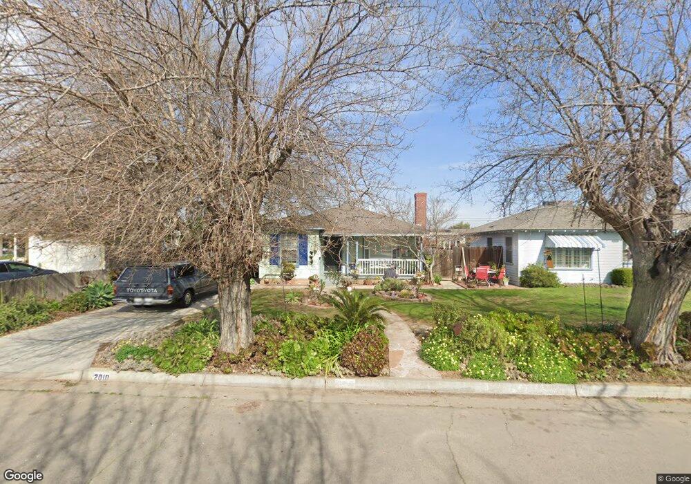
2010 Mary St Sanger, CA 93657
Estimated Value: $293,000 - $306,000
3
Beds
2
Baths
1,240
Sq Ft
$241/Sq Ft
Est. Value
About This Home
This home is located at 2010 Mary St, Sanger, CA 93657 and is currently estimated at $299,248, approximately $241 per square foot. 2010 Mary St is a home located in Fresno County with nearby schools including Madison Elementary School, Washington Academic Middle School, and Sanger High School.
Ownership History
Date
Name
Owned For
Owner Type
Purchase Details
Closed on
Feb 18, 2005
Sold by
Baker Hubert W and Baker Ollie M
Bought by
Baker Hubert W and Baker Ollie M
Current Estimated Value
Purchase Details
Closed on
Jan 2, 1998
Sold by
Baker Hubert W and Baker Ollie M
Bought by
Zieska Dale Edward and Zieska Norma Encarnacion
Home Financials for this Owner
Home Financials are based on the most recent Mortgage that was taken out on this home.
Original Mortgage
$72,000
Outstanding Balance
$12,485
Interest Rate
7.13%
Mortgage Type
Seller Take Back
Estimated Equity
$286,763
Create a Home Valuation Report for This Property
The Home Valuation Report is an in-depth analysis detailing your home's value as well as a comparison with similar homes in the area
Home Values in the Area
Average Home Value in this Area
Purchase History
| Date | Buyer | Sale Price | Title Company |
|---|---|---|---|
| Baker Hubert W | -- | -- | |
| Zieska Dale Edward | $77,000 | Chicago Title Co |
Source: Public Records
Mortgage History
| Date | Status | Borrower | Loan Amount |
|---|---|---|---|
| Open | Zieska Dale Edward | $72,000 |
Source: Public Records
Tax History Compared to Growth
Tax History
| Year | Tax Paid | Tax Assessment Tax Assessment Total Assessment is a certain percentage of the fair market value that is determined by local assessors to be the total taxable value of land and additions on the property. | Land | Improvement |
|---|---|---|---|---|
| 2025 | $1,409 | $122,925 | $39,905 | $83,020 |
| 2023 | $1,390 | $118,154 | $38,356 | $79,798 |
| 2022 | $1,368 | $115,838 | $37,604 | $78,234 |
| 2021 | $1,355 | $113,567 | $36,867 | $76,700 |
| 2020 | $1,315 | $112,403 | $36,489 | $75,914 |
| 2019 | $1,287 | $110,200 | $35,774 | $74,426 |
| 2018 | $1,233 | $108,040 | $35,073 | $72,967 |
| 2017 | $1,210 | $105,923 | $34,386 | $71,537 |
| 2016 | $1,137 | $103,847 | $33,712 | $70,135 |
| 2015 | $1,145 | $102,288 | $33,206 | $69,082 |
| 2014 | $1,128 | $100,285 | $32,556 | $67,729 |
Source: Public Records
Map
Nearby Homes
- 2018 Mary St
- 2114 Palm Ave
- 2120 7th St
- 520 Hawley Ave
- 1105 Hoag Ave
- 1112 Cottle Ave
- 2119 Magnolia Ave
- 1123 Post St
- 1207 Lyon Ave
- 2120 Richard Ave
- 0 Almond (322-030-51) Unit 603807
- 2426 Almond Ave
- 314 Tait Ave
- 2726 Mary Ave
- 2599 Almond Ave
- 238 Fairbanks Ave
- 188 Lyon Ave
- 1708 Cherry Ave
- 531 K St
- 1873 Canal Dr