Estimated Value: $382,000 - $440,000
2
Beds
3
Baths
1,949
Sq Ft
$213/Sq Ft
Est. Value
About This Home
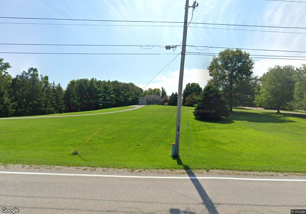
This home is located at 2010 Mason Rd E, Milan, OH 44846 and is currently estimated at $415,739, approximately $213 per square foot. 2010 Mason Rd E is a home located in Erie County with nearby schools including Edison Elementary School (Formerly Milan Elementary), Edison Middle School (Formerly Berlin-Milan Middle School), and Edison High School.
Ownership History
Date
Name
Owned For
Owner Type
Purchase Details
Closed on
Jul 28, 2017
Sold by
U S Bank Na
Bought by
Mcquerrey Darren L
Current Estimated Value
Purchase Details
Closed on
Oct 29, 2016
Sold by
U S Bank Na
Bought by
Unknown Heirs At Law Devisees Legatees E
Purchase Details
Closed on
Dec 14, 2015
Sold by
Browne Sandra R and Browne James E
Bought by
Browne Sandra R
Purchase Details
Closed on
Jan 30, 2001
Sold by
Runner Robert E
Bought by
Browne James E and Browne Sandra R
Create a Home Valuation Report for This Property
The Home Valuation Report is an in-depth analysis detailing your home's value as well as a comparison with similar homes in the area
Purchase History
| Date | Buyer | Sale Price | Title Company |
|---|---|---|---|
| Mcquerrey Darren L | $226,010 | None Available | |
| Unknown Heirs At Law Devisees Legatees E | $180,000 | None Available | |
| Browne Sandra R | -- | Attorney | |
| Browne James E | $36,000 | -- |
Source: Public Records
Tax History
| Year | Tax Paid | Tax Assessment Tax Assessment Total Assessment is a certain percentage of the fair market value that is determined by local assessors to be the total taxable value of land and additions on the property. | Land | Improvement |
|---|---|---|---|---|
| 2024 | $4,365 | $118,642 | $16,131 | $102,511 |
| 2023 | $4,539 | $100,471 | $12,705 | $87,766 |
| 2022 | $4,327 | $100,478 | $12,705 | $87,773 |
| 2021 | $4,302 | $100,480 | $12,710 | $87,770 |
| 2020 | $3,742 | $85,690 | $12,710 | $72,980 |
| 2019 | $3,882 | $85,690 | $12,710 | $72,980 |
| 2018 | $4,080 | $85,690 | $12,710 | $72,980 |
| 2017 | $3,960 | $81,740 | $16,090 | $65,650 |
| 2016 | $3,929 | $81,740 | $16,090 | $65,650 |
| 2015 | $3,784 | $81,740 | $16,090 | $65,650 |
| 2014 | $3,825 | $81,740 | $16,090 | $65,650 |
| 2013 | $3,774 | $81,740 | $16,090 | $65,650 |
Source: Public Records
Map
Nearby Homes
- 12714 US Highway 250 N
- 3512 Scheid Rd
- 13704 Riley Rd
- 1305 State Route 113 E
- 2201 Huron Avery Rd
- 0 S Center St
- 93 Elm St
- 102 S Center St
- 128 S Center St
- 204 S Main St
- 117 Millwood Ln
- 110 Wheeler Dr
- 1114 Mudbrook Rd
- 304 Lisa Ann Dr
- 1140 Sheltered Brook Dr
- 216 Chevy Dr
- 317 Chevy Dr
- 927 Dallas Dr
- 0 Bogart Rd
- 937 Main St
- 2008 Mason Rd E
- 2012 Mason Rd E
- 2006 Mason Rd E
- 2016 Mason Rd E
- 2002 Mason Rd E
- 2000 Mason Rd E
- 2707 Mason Rd E
- 11306 State Route 13
- 11310 State Route 13
- 10614 Mudbrook Rd
- 11318 State Route 13
- 11318 Mudbrook Rd
- 1417 Mason Rd E
- 10518 Mudbrook Rd
- 10512 Mudbrook Rd
- 10503 Mudbrook Rd
- 10510 Mudbrook Rd
- 10502 Mudbrook Rd
- 10411 Mudbrook Rd
- 11510 Mudbrook Rd
Your Personal Tour Guide
Ask me questions while you tour the home.