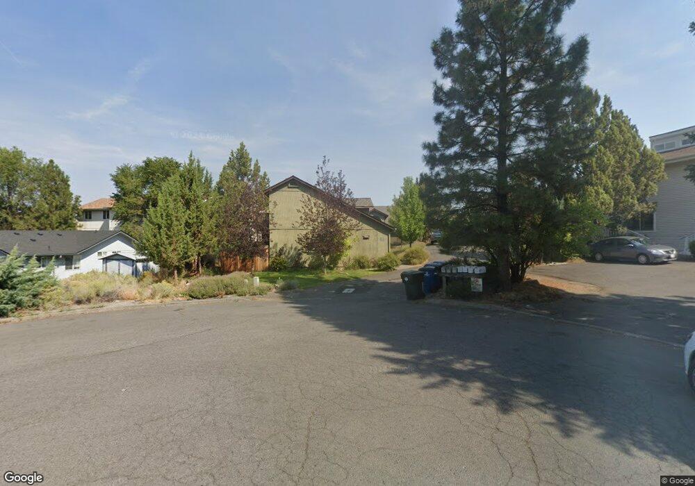
2010 NE Patterson Cir Bend, OR 97701
Mountain View NeighborhoodEstimated Value: $754,000 - $1,218,000
8
Beds
6
Baths
3,588
Sq Ft
$275/Sq Ft
Est. Value
About This Home
This home is located at 2010 NE Patterson Cir, Bend, OR 97701 and is currently estimated at $985,153, approximately $274 per square foot. 2010 NE Patterson Cir is a home located in Deschutes County with nearby schools including Ensworth Elementary School, Pilot Butte Middle School, and Mountain View Senior High School.
Ownership History
Date
Name
Owned For
Owner Type
Purchase Details
Closed on
May 18, 2013
Sold by
Hannon Francince and Hannon Arthur
Bought by
Hannon Francine A and The Francince Hannon Trust
Current Estimated Value
Home Financials for this Owner
Home Financials are based on the most recent Mortgage that was taken out on this home.
Original Mortgage
$201,000
Interest Rate
3.41%
Mortgage Type
New Conventional
Purchase Details
Closed on
Jun 26, 2006
Sold by
Hannon Francine
Bought by
Hannon Francine A and Francine Hannon Trust
Create a Home Valuation Report for This Property
The Home Valuation Report is an in-depth analysis detailing your home's value as well as a comparison with similar homes in the area
Home Values in the Area
Average Home Value in this Area
Purchase History
| Date | Buyer | Sale Price | Title Company |
|---|---|---|---|
| Hannon Francine A | -- | Title Source | |
| Hannon Francine | -- | Title Source | |
| Hannon Francine A | -- | None Available |
Source: Public Records
Mortgage History
| Date | Status | Borrower | Loan Amount |
|---|---|---|---|
| Closed | Hannon Francine | $201,000 |
Source: Public Records
Tax History Compared to Growth
Tax History
| Year | Tax Paid | Tax Assessment Tax Assessment Total Assessment is a certain percentage of the fair market value that is determined by local assessors to be the total taxable value of land and additions on the property. | Land | Improvement |
|---|---|---|---|---|
| 2025 | $7,178 | $424,810 | -- | -- |
| 2024 | $6,906 | $412,440 | -- | -- |
| 2023 | $6,402 | $400,430 | $0 | $0 |
| 2022 | $5,973 | $377,460 | $0 | $0 |
| 2021 | $6,131 | $366,470 | $0 | $0 |
| 2020 | $5,675 | $366,470 | $0 | $0 |
| 2019 | $5,517 | $355,800 | $0 | $0 |
| 2018 | $5,361 | $345,440 | $0 | $0 |
| 2017 | $5,204 | $335,380 | $0 | $0 |
| 2016 | $4,963 | $325,620 | $0 | $0 |
| 2015 | $4,825 | $316,140 | $0 | $0 |
| 2014 | $4,683 | $306,940 | $0 | $0 |
Source: Public Records
Map
Nearby Homes
- 2101 NE Holliday Ave
- 2011 NE Neil Way
- 2025 NE Neil Way
- 2026 NE Neil Way
- 2508 NE Buckwheat Ct
- 2382 NE Jackson Ave
- 2574 NE Robinson St
- 2254 NE Indigo Ln
- 2498 NE Rosemary Dr
- 2567 NE Rosemary Dr
- 2241 NE Hyatt Ct
- 2739 NE Cordata
- 2843 NE Purcell Blvd
- 2711 NE Yellow Ribbon Dr
- 2324 NE Halston Ct
- 2976 NE Bluebell Ln
- 2987 NE Oakley Ct
- 21134 NE Beall Dr Unit Lot 25
- 21145 NE Beall Dr Unit Lot 6
- 21153 NE Beall Dr Unit Lot 8
- 2028 NE Patterson Cir
- 2000 NE Patterson Cir Unit 1-4
- 2000 NE Patterson Cir
- 2202 NE Holliday Ave
- 2017 NE Patterson Cir
- 2007 NE Patterson Cir
- 2012 NE Neil Ct
- 2054 NE Holliday Ave
- 2054 NE Holliday Ave Unit 1-4
- 2056 NE Purcell Blvd
- 2001 NE Neil Ct
- 2211 NE Holliday Ave
- 2075 NE Holliday Ave Unit 2073
- 2071 NE York Cir
- 2214 NE Holliday Ave
- 2001 NE Neil Way
- 2040 NE Holliday Ave
- 2022 NE Purcell Blvd