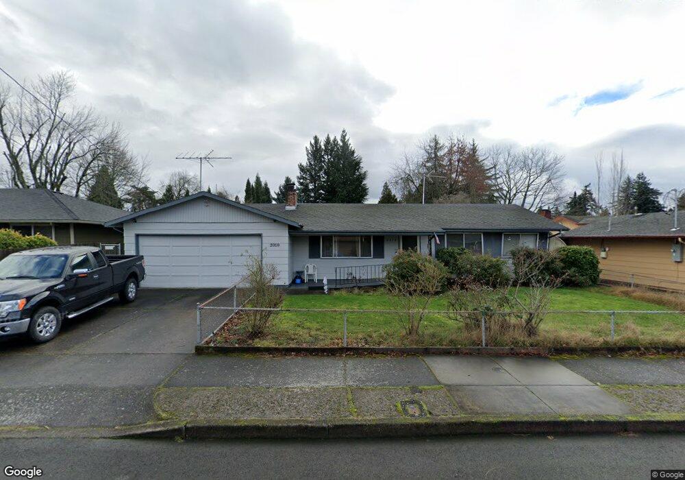
2010 NW 6th Dr Gresham, OR 97030
Northwest Gresham NeighborhoodEstimated Value: $433,000 - $464,000
2
Beds
2
Baths
1,112
Sq Ft
$401/Sq Ft
Est. Value
About This Home
This home is located at 2010 NW 6th Dr, Gresham, OR 97030 and is currently estimated at $445,905, approximately $400 per square foot. 2010 NW 6th Dr is a home located in Multnomah County with nearby schools including Dexter McCarty Middle School, Gresham High School, and Portland Adventist Elementary School.
Ownership History
Date
Name
Owned For
Owner Type
Purchase Details
Closed on
Dec 30, 2019
Sold by
Hockaday Austin T and Hockaday Austin T
Bought by
Hockaday Austin T
Current Estimated Value
Home Financials for this Owner
Home Financials are based on the most recent Mortgage that was taken out on this home.
Original Mortgage
$224,000
Outstanding Balance
$197,062
Interest Rate
3.6%
Mortgage Type
New Conventional
Estimated Equity
$248,843
Purchase Details
Closed on
Apr 9, 2010
Sold by
Thomas Peter T
Bought by
Hockaday Austin T
Home Financials for this Owner
Home Financials are based on the most recent Mortgage that was taken out on this home.
Original Mortgage
$155,138
Interest Rate
5.01%
Mortgage Type
FHA
Create a Home Valuation Report for This Property
The Home Valuation Report is an in-depth analysis detailing your home's value as well as a comparison with similar homes in the area
Home Values in the Area
Average Home Value in this Area
Purchase History
| Date | Buyer | Sale Price | Title Company |
|---|---|---|---|
| Hockaday Austin T | -- | First American | |
| Hockaday Austin T | $158,000 | Ticor Title |
Source: Public Records
Mortgage History
| Date | Status | Borrower | Loan Amount |
|---|---|---|---|
| Open | Hockaday Austin T | $224,000 | |
| Closed | Hockaday Austin T | $155,138 |
Source: Public Records
Tax History
| Year | Tax Paid | Tax Assessment Tax Assessment Total Assessment is a certain percentage of the fair market value that is determined by local assessors to be the total taxable value of land and additions on the property. | Land | Improvement |
|---|---|---|---|---|
| 2025 | $4,653 | $228,630 | -- | -- |
| 2024 | $3,867 | $192,710 | -- | -- |
| 2023 | $3,523 | $187,100 | $0 | $0 |
| 2022 | $3,424 | $181,660 | $0 | $0 |
| 2021 | $3,338 | $176,370 | $0 | $0 |
| 2020 | $3,141 | $171,240 | $0 | $0 |
| 2019 | $3,059 | $166,260 | $0 | $0 |
| 2018 | $2,917 | $161,420 | $0 | $0 |
| 2017 | $2,798 | $156,720 | $0 | $0 |
| 2016 | $2,467 | $152,160 | $0 | $0 |
Source: Public Records
Map
Nearby Homes
- 1745 NW 7th Place
- 272 NW Mawrcrest Ave
- 284 NW Mawrcrest Ave
- 256 NW Mawrcrest Ave
- 296 NW Mawrcrest Ave
- 236 NW Mawrcrest Ave
- 230 NW Mawrcrest Ave
- 185 NW Mawrcrest Ave
- 181 NW Mawrcrest Ave
- 85 NW Mawrcrest Ave
- 63 NW Mawrcrest Ave
- 21 NW Mawrcrest Ave
- 2543 NW 2nd Terrace
- 1387 NW Riverview Ave Unit 14B
- 2590 NW 2nd Terrace
- 994 NW Wallula Ave
- 404 SW Riverview Ave
- 1113 W Powell Blvd
- 64 NW Florence Ave
- 317 SW Angeline Ave
- 2020 NW 6th Dr
- 1980 NW 6th Dr
- 2015 NW 5th St
- 2025 NW 5th St
- 1985 NW 5th St
- 1985 NW 5th St
- 550 NW Riverview Place
- 1960 NW 6th Dr
- 2025 NW 6th Dr
- 2005 NW 6th Dr
- 1965 NW 5th St
- 1975 NW 6th Dr
- 520 NW Riverview Place
- 1920 NW 6th Dr
- 610 NW Cascade Ct
- 1945 NW 6th Dr
- 1925 NW 5th St
- 2060 NW 7th Place
- 2030 NW 7th Place
- 1970 NW 7th Place
Your Personal Tour Guide
Ask me questions while you tour the home.