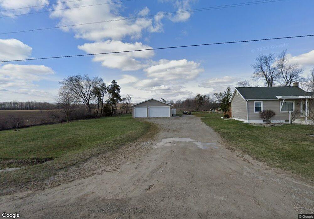
2010 Robbins Rd Tipton, MI 49287
Estimated Value: $142,000 - $289,000
2
Beds
1
Bath
767
Sq Ft
$279/Sq Ft
Est. Value
About This Home
This home is located at 2010 Robbins Rd, Tipton, MI 49287 and is currently estimated at $213,708, approximately $278 per square foot. 2010 Robbins Rd is a home located in Lenawee County with nearby schools including Tecumseh Middle School and Tecumseh High School.
Ownership History
Date
Name
Owned For
Owner Type
Purchase Details
Closed on
Dec 27, 2011
Sold by
Connor Gary O and Oconnor Susan G
Bought by
Oconnor Gary and Oconnor Susan G
Current Estimated Value
Purchase Details
Closed on
Nov 18, 2011
Sold by
Us Bank Natioanl Assn
Bought by
Connor Gary O
Purchase Details
Closed on
Mar 10, 2006
Sold by
Johnson Mark
Bought by
Nelson Neal C
Home Financials for this Owner
Home Financials are based on the most recent Mortgage that was taken out on this home.
Original Mortgage
$95,200
Interest Rate
7.87%
Mortgage Type
Adjustable Rate Mortgage/ARM
Create a Home Valuation Report for This Property
The Home Valuation Report is an in-depth analysis detailing your home's value as well as a comparison with similar homes in the area
Purchase History
| Date | Buyer | Sale Price | Title Company |
|---|---|---|---|
| Oconnor Gary | -- | None Available | |
| Connor Gary O | $30,000 | Attorneys Title Agencey Llc | |
| Nelson Neal C | $19,000 | Integrity Title |
Source: Public Records
Mortgage History
| Date | Status | Borrower | Loan Amount |
|---|---|---|---|
| Previous Owner | Nelson Neal C | $95,200 | |
| Previous Owner | Nelson Neal C | $23,800 |
Source: Public Records
Tax History
| Year | Tax Paid | Tax Assessment Tax Assessment Total Assessment is a certain percentage of the fair market value that is determined by local assessors to be the total taxable value of land and additions on the property. | Land | Improvement |
|---|---|---|---|---|
| 2025 | $1,376 | $89,000 | $0 | $0 |
| 2024 | $8 | $76,800 | $0 | $0 |
| 2023 | $1,286 | $70,400 | $0 | $0 |
| 2022 | $1,309 | $61,300 | $0 | $0 |
| 2021 | $1,296 | $57,800 | $0 | $0 |
| 2020 | $1,280 | $51,800 | $0 | $0 |
| 2019 | $107,212 | $40,100 | $0 | $0 |
| 2018 | $1,121 | $45,347 | $0 | $0 |
| 2017 | $1,080 | $46,081 | $0 | $0 |
| 2016 | $1,071 | $45,859 | $0 | $0 |
| 2014 | -- | $50,135 | $0 | $0 |
Source: Public Records
Map
Nearby Homes
- 6180 Carson Hwy
- 6362 Alamo Ct
- 1000 Dinius Rd Unit 1000 Blk.
- 5679 Catawba Dr
- 1251 E Monroe Rd
- 4623 N Adrian Hwy
- 2082 Friar Tuck Cir
- 4126 Mckenna Dr
- 1510 Fox Run
- 4729 Basin St
- 2771 Gady Rd
- 2775 Gady Rd
- 2901 Gady Rd
- 6000 S Occidental Hwy
- 4194 Sauk Trail
- 1006 Murray Dr
- 1084 Loren Rd
- 410 Settlers Cove
- 6000 Occidental Hwy Unit 6000 Blk Occidental
- 3421 Gove Dr
- 2010 Robbins Rd Unit ROBBIN
- 6902 Carson Hwy
- 10555 Robbins Rd
- 1990 Robbins Rd
- 2020 Robbins Rd
- 7199 Carson Hwy
- 6000 Carson Hwy Unit BLK
- 6000 Carson Hwy Unit BLK
- 6000 Carson Hwy Unit BLK
- 7294 Carson Hwy
- 7388 Carson Hwy
- 6713 Carson Hwy
- 1800 Robbins Rd
- 1786 Robbins Rd
- 7315 Carson Hwy
- 6990 Bent Oak Hwy
- 6980 Bent Oak Hwy
- 2028 Robbins Rd
- 2031 Robbins Rd
- 2043 Robbins Rd
Your Personal Tour Guide
Ask me questions while you tour the home.