2010 Robert St Benson, MN 56215
Estimated Value: $331,000 - $462,394
Studio
--
Bath
3,278
Sq Ft
$123/Sq Ft
Est. Value
About This Home
This home is located at 2010 Robert St, Benson, MN 56215 and is currently estimated at $402,099, approximately $122 per square foot. 2010 Robert St is a home with nearby schools including Northside Elementary School and Benson Secondary School.
Create a Home Valuation Report for This Property
The Home Valuation Report is an in-depth analysis detailing your home's value as well as a comparison with similar homes in the area
Home Values in the Area
Average Home Value in this Area
Tax History
| Year | Tax Paid | Tax Assessment Tax Assessment Total Assessment is a certain percentage of the fair market value that is determined by local assessors to be the total taxable value of land and additions on the property. | Land | Improvement |
|---|---|---|---|---|
| 2025 | $7,114 | $434,600 | $25,600 | $409,000 |
| 2024 | $7,114 | $434,600 | $25,600 | $409,000 |
| 2023 | $6,592 | $471,500 | $26,800 | $444,700 |
| 2022 | $6,022 | $368,200 | $25,600 | $342,600 |
| 2021 | $5,666 | $306,900 | $25,600 | $281,300 |
| 2020 | $482 | $306,900 | $25,600 | $281,300 |
| 2019 | $464 | $25,600 | $25,600 | $0 |
| 2017 | $404 | $0 | $0 | $0 |
| 2016 | $360 | $0 | $0 | $0 |
| 2015 | $352 | $0 | $0 | $0 |
| 2014 | -- | $0 | $0 | $0 |
Source: Public Records
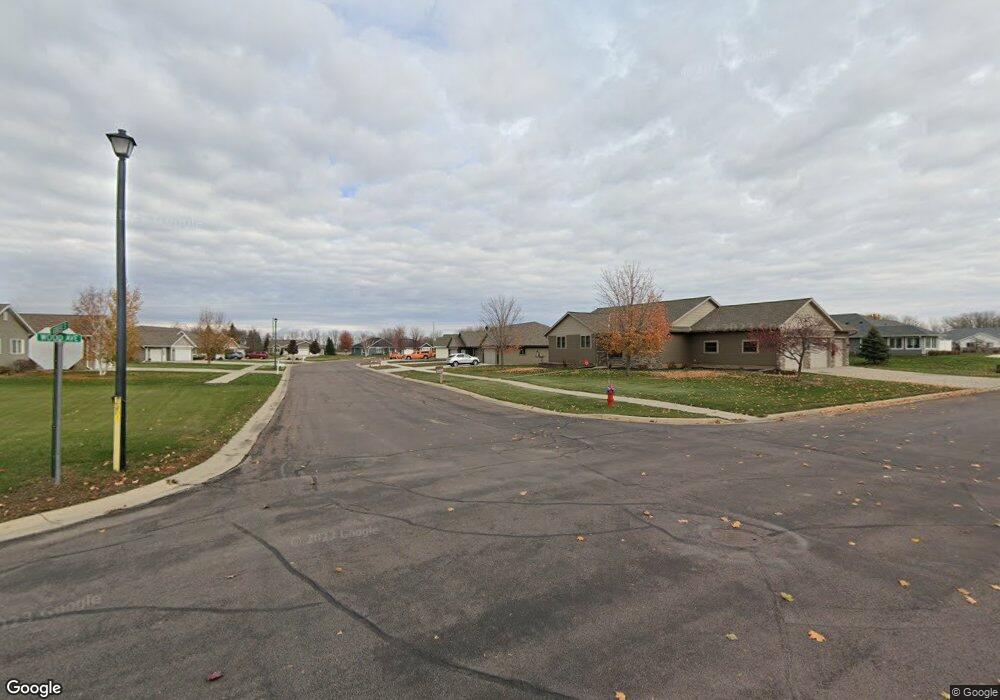
Map
Nearby Homes
- 2020 Robert St
- 2000 Robert St
- 1915 Twin Cir
- 1935 Robert St
- 2035 Robert St
- 2025 Robert St
- 2005 Robert St
- 1920 Twin Cir
- 1925 Robert St
- 510 20th St N
- 513 19th St N
- 1900 Twin Cir
- 2045 Prairie View Cir
- 1910 Twin Cir
- 506 Sanford Rd
- 506 506 Sanford Rd
- 1915 Robert St
- 511 20th St N
- 511 511 N 20th St
- 511 19th St N
Your Personal Tour Guide
Ask me questions while you tour the home.