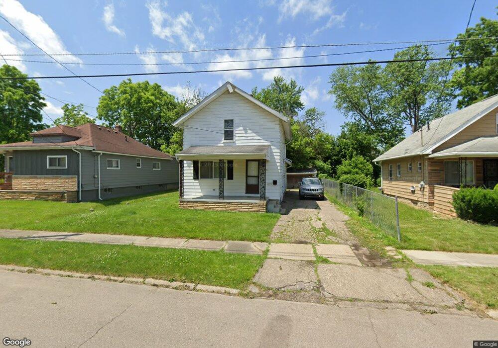
2010 Stanford Ave Flint, MI 48503
South Parks NeighborhoodEstimated Value: $47,000 - $63,000
3
Beds
2
Baths
1,202
Sq Ft
$45/Sq Ft
Est. Value
About This Home
This home is located at 2010 Stanford Ave, Flint, MI 48503 and is currently estimated at $53,591, approximately $44 per square foot. 2010 Stanford Ave is a home located in Genesee County with nearby schools including Freeman Elementary School, Flint Southwestern Classical Academy, and International Academy of Flint (K-12).
Ownership History
Date
Name
Owned For
Owner Type
Purchase Details
Closed on
Mar 23, 2005
Sold by
Anderson Leslie D and Alston Leslie
Bought by
Camarena Daniel
Current Estimated Value
Purchase Details
Closed on
Mar 22, 2005
Sold by
Murphy Cedric C
Bought by
Alston Leslie D Anderson
Purchase Details
Closed on
Nov 30, 2001
Sold by
Anderson Jeffery L and Anderson Leslie D
Bought by
Anderson Leslie D
Create a Home Valuation Report for This Property
The Home Valuation Report is an in-depth analysis detailing your home's value as well as a comparison with similar homes in the area
Home Values in the Area
Average Home Value in this Area
Purchase History
| Date | Buyer | Sale Price | Title Company |
|---|---|---|---|
| Camarena Daniel | $7,000 | Guaranty Title Company | |
| Sprinkle Elroy | $15,000 | Guaranty Title Company | |
| Alston Leslie D Anderson | -- | First American Title Ins Co | |
| Anderson Leslie D | -- | Cislo Title Company |
Source: Public Records
Tax History
| Year | Tax Paid | Tax Assessment Tax Assessment Total Assessment is a certain percentage of the fair market value that is determined by local assessors to be the total taxable value of land and additions on the property. | Land | Improvement |
|---|---|---|---|---|
| 2025 | $923 | $16,900 | $0 | $0 |
| 2024 | $860 | $14,400 | $0 | $0 |
| 2023 | $844 | $12,200 | $0 | $0 |
| 2022 | $0 | $10,700 | $0 | $0 |
| 2021 | $853 | $9,300 | $0 | $0 |
| 2020 | $790 | $9,100 | $0 | $0 |
| 2019 | $776 | $7,900 | $0 | $0 |
| 2018 | $755 | $7,900 | $0 | $0 |
| 2017 | $737 | $0 | $0 | $0 |
| 2016 | $732 | $0 | $0 | $0 |
| 2015 | -- | $0 | $0 | $0 |
| 2014 | -- | $0 | $0 | $0 |
| 2012 | -- | $10,000 | $0 | $0 |
Source: Public Records
Map
Nearby Homes
- 2010 Crocker Ave
- 2050 Ferris Ave
- 2029 Winans Ave
- 2224 Crocker Ave
- 1720 Park St
- 2221 Howard Ave
- 407 E 12th St
- 1701 Park St
- 149 E Tobias St
- 1851 Seymour Ave
- 149 E Linsey Blvd
- 133 E Oakley St
- 1510 S Franklin Ave
- 915 E 8th St
- 1210 Blanchard Ave
- 1840 Mcphail St
- 911 E 7th St
- 1814 Mcphail St
- 1930 Owen St
- 517 Morley Ave
- 2012 Stanford Ave
- 2006 Stanford Ave
- 2018 Stanford Ave
- 2000 Stanford Ave
- 2009 Dwight Ave
- 2007 Dwight Ave
- 2015 Dwight Ave
- 2005 Dwight Ave
- 2019 Dwight Ave
- 804 Pingree Ave
- 2001 Dwight Ave
- 2020 Stanford Ave
- 2009 Stanford Ave
- 802 Pingree Ave
- 2005 Stanford Ave
- 2015 Stanford Ave
- 2021 Dwight Ave
- 2022 Stanford Ave
- 2023 Dwight Ave
- 713 Pingree Ave
Your Personal Tour Guide
Ask me questions while you tour the home.