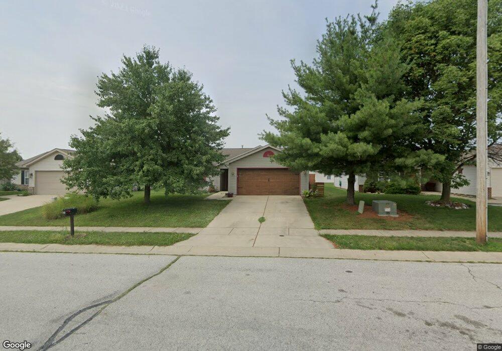
2010 Starks Cir Lafayette, IN 47909
Bridge Water NeighborhoodEstimated Value: $230,000 - $249,000
3
Beds
2
Baths
1,125
Sq Ft
$215/Sq Ft
Est. Value
About This Home
This home is located at 2010 Starks Cir, Lafayette, IN 47909 and is currently estimated at $241,981, approximately $215 per square foot. 2010 Starks Cir is a home located in Tippecanoe County with nearby schools including Amelia Earhart Elementary School, Lafayette Tecumseh Junior High School, and Sunnyside Intermediate School.
Ownership History
Date
Name
Owned For
Owner Type
Purchase Details
Closed on
Feb 26, 2010
Sold by
Wiley Jennifer L and Bockelman Carol A
Bought by
Reynolds Dawn and Stambaugh Richard
Current Estimated Value
Home Financials for this Owner
Home Financials are based on the most recent Mortgage that was taken out on this home.
Original Mortgage
$95,144
Outstanding Balance
$61,907
Interest Rate
5.25%
Mortgage Type
FHA
Estimated Equity
$180,074
Purchase Details
Closed on
Jul 19, 2002
Sold by
American Properties Unlimited Llc
Bought by
Wiley Jennifer L and Trigilio Carol A
Home Financials for this Owner
Home Financials are based on the most recent Mortgage that was taken out on this home.
Original Mortgage
$78,800
Interest Rate
6%
Create a Home Valuation Report for This Property
The Home Valuation Report is an in-depth analysis detailing your home's value as well as a comparison with similar homes in the area
Home Values in the Area
Average Home Value in this Area
Purchase History
| Date | Buyer | Sale Price | Title Company |
|---|---|---|---|
| Reynolds Dawn | -- | None Available | |
| Wiley Jennifer L | -- | -- | |
| American Properties Unlimited Llc | -- | -- |
Source: Public Records
Mortgage History
| Date | Status | Borrower | Loan Amount |
|---|---|---|---|
| Open | Reynolds Dawn | $95,144 | |
| Previous Owner | Wiley Jennifer L | $78,800 |
Source: Public Records
Tax History
| Year | Tax Paid | Tax Assessment Tax Assessment Total Assessment is a certain percentage of the fair market value that is determined by local assessors to be the total taxable value of land and additions on the property. | Land | Improvement |
|---|---|---|---|---|
| 2025 | $1,722 | $195,200 | $43,000 | $152,200 |
| 2024 | $1,722 | $181,600 | $43,000 | $138,600 |
| 2023 | $1,525 | $166,800 | $43,000 | $123,800 |
| 2022 | $1,204 | $124,500 | $18,000 | $106,500 |
| 2021 | $1,129 | $117,300 | $18,000 | $99,300 |
| 2020 | $956 | $107,900 | $18,000 | $89,900 |
| 2019 | $859 | $102,100 | $18,000 | $84,100 |
| 2018 | $744 | $98,900 | $18,000 | $80,900 |
| 2017 | $737 | $99,100 | $18,000 | $81,100 |
| 2016 | $711 | $98,500 | $18,000 | $80,500 |
| 2014 | $591 | $91,000 | $18,000 | $73,000 |
| 2013 | $550 | $88,700 | $18,000 | $70,700 |
Source: Public Records
Map
Nearby Homes
- 1940 Honeybrook Way
- 3120 Thomas Dr
- 3418 Summertime Trail
- 3322 Crosspoint Ct S
- 20 Equinox Ct
- 1908 Griffon Dr
- 1604 Tabor Ct
- 1615 Tabor Ct
- 3108 Tanager Dr
- 3526 Canterbury Dr
- 1709 Stonegate Cir
- 3222 Chaucer Dr
- 3625 Meadowview Dr
- 3245 Commanche Trail
- 110 S Rickover Cir
- 982 Southernview Dr S
- 1401 Southport Dr
- 14 Kingfisher Cir
- 3928 Gate Rd
- 2417 Shasta Dr
- 2006 Starks Cir
- 2014 Starks Cir
- 1925 Chamberlin Dr
- 1929 Chamberlin Dr
- 2005 Starks Cir
- 1921 Chamberlin Dr
- 125 Phillips Ct
- 120 Phillips Ct
- 2001 Starks Cir
- 2015 Starks Cir
- 110 Phillips Ct
- 1917 Chamberlin Dr
- 1924 Honeybrook Way
- 2011 Starks Cir
- 1928 Honeybrook Way
- 1916 Honeybrook Way
- 1918 Chamberlin Dr
- 2008 Starks Cir
- 2007 Starks Cir
- 100 Phillips Ct
Your Personal Tour Guide
Ask me questions while you tour the home.