Estimated Value: $265,000 - $436,955
--
Bed
--
Bath
3,020
Sq Ft
$121/Sq Ft
Est. Value
About This Home
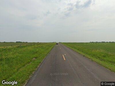
This home is located at 2010 State Route P, Rea, MO 64480 and is currently estimated at $365,652, approximately $121 per square foot. 2010 State Route P is a home with nearby schools including King City Elementary School and King City High School.
Create a Home Valuation Report for This Property
The Home Valuation Report is an in-depth analysis detailing your home's value as well as a comparison with similar homes in the area
Home Values in the Area
Average Home Value in this Area
Tax History Compared to Growth
Tax History
| Year | Tax Paid | Tax Assessment Tax Assessment Total Assessment is a certain percentage of the fair market value that is determined by local assessors to be the total taxable value of land and additions on the property. | Land | Improvement |
|---|---|---|---|---|
| 2024 | $1,855 | $26,300 | $3,940 | $22,360 |
| 2023 | $1,776 | $26,300 | $3,940 | $22,360 |
| 2022 | $1,088 | $16,130 | $3,940 | $12,190 |
| 2021 | $1,079 | $16,130 | $3,940 | $12,190 |
| 2020 | $1,070 | $16,130 | $3,940 | $12,190 |
| 2019 | $1,075 | $16,130 | $3,940 | $12,190 |
| 2018 | $1,064 | $16,160 | $3,970 | $12,190 |
| 2017 | $1,084 | $16,160 | $3,970 | $12,190 |
| 2016 | $1,089 | $16,160 | $3,970 | $12,190 |
| 2015 | -- | $16,160 | $3,970 | $12,190 |
| 2011 | -- | $93,770 | $27,650 | $66,120 |
Source: Public Records
Map
Nearby Homes
- 5063 State Route M N A
- 1 NW Thornton Rd
- 7718 State Route M N A
- 0 NW Thornton Rd Unit HMS2542303
- 0 Uu Hwy Unit HMS2537839
- 318 Elm St
- 1 Uu Hwy
- TBD Plot #4 216th St
- TBD Plot #3 & 4 216th St
- TBD Plot #3 216th St
- 37037 Liberty Rd
- 300 Ann St
- 0 181 Rd Unit HMS2487329
- 409 S Main St
- 4582 U S 169
- 0 181 Lot 2 Rd Unit HMS2520333
- 3 Highway 169
- 2 Highway 169
- 13009 Co Rd 180 Rural Route
- 625 College St
