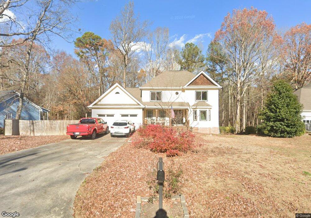
2010 Sturbridge Ln Buford, GA 30519
Estimated Value: $445,000 - $471,490
3
Beds
3
Baths
3,548
Sq Ft
$128/Sq Ft
Est. Value
About This Home
This home is located at 2010 Sturbridge Ln, Buford, GA 30519 and is currently estimated at $452,873, approximately $127 per square foot. 2010 Sturbridge Ln is a home located in Gwinnett County with nearby schools including Harmony Elementary School, Glenn C. Jones Middle School, and Sugar Hill Christian Academy.
Ownership History
Date
Name
Owned For
Owner Type
Purchase Details
Closed on
May 29, 2020
Sold by
Ball Marilyn H
Bought by
Ball Samantha L and Tudor Robert Thatcher
Current Estimated Value
Home Financials for this Owner
Home Financials are based on the most recent Mortgage that was taken out on this home.
Original Mortgage
$209,840
Outstanding Balance
$185,183
Interest Rate
3.2%
Mortgage Type
New Conventional
Estimated Equity
$267,690
Purchase Details
Closed on
Feb 25, 1993
Sold by
Barrs Warren F
Bought by
Ball Christopher A
Home Financials for this Owner
Home Financials are based on the most recent Mortgage that was taken out on this home.
Original Mortgage
$86,500
Interest Rate
7.88%
Create a Home Valuation Report for This Property
The Home Valuation Report is an in-depth analysis detailing your home's value as well as a comparison with similar homes in the area
Home Values in the Area
Average Home Value in this Area
Purchase History
| Date | Buyer | Sale Price | Title Company |
|---|---|---|---|
| Ball Samantha L | $262,300 | -- | |
| Ball Christopher A | $109,900 | -- |
Source: Public Records
Mortgage History
| Date | Status | Borrower | Loan Amount |
|---|---|---|---|
| Open | Ball Samantha L | $209,840 | |
| Previous Owner | Ball Christopher A | $86,500 |
Source: Public Records
Tax History Compared to Growth
Tax History
| Year | Tax Paid | Tax Assessment Tax Assessment Total Assessment is a certain percentage of the fair market value that is determined by local assessors to be the total taxable value of land and additions on the property. | Land | Improvement |
|---|---|---|---|---|
| 2025 | $4,751 | $163,240 | $40,000 | $123,240 |
| 2024 | $4,439 | $141,560 | $39,200 | $102,360 |
| 2023 | $4,439 | $159,040 | $39,200 | $119,840 |
| 2022 | $4,146 | $129,120 | $27,960 | $101,160 |
| 2021 | $3,591 | $100,000 | $27,960 | $72,040 |
| 2020 | $3,174 | $91,040 | $23,840 | $67,200 |
| 2019 | $0 | $91,040 | $23,840 | $67,200 |
| 2018 | $2,905 | $83,040 | $18,400 | $64,640 |
| 2016 | $2,768 | $75,760 | $14,800 | $60,960 |
| 2015 | $2,795 | $75,760 | $14,800 | $60,960 |
| 2014 | $2,463 | $65,520 | $14,800 | $50,720 |
Source: Public Records
Map
Nearby Homes
- 1970 Sturbridge Ln Unit 1
- 3476 Harvest Ridge Ln
- 3534 Fallen Oak Ln
- 3410 Coles Creek Dr
- 3560 Hanover Dr
- 2140 Harvest Ridge Cir
- 3573 Fallen Oak Dr
- 2040 Harvest Ridge Cir NE
- 2040 Harvest Ridge Cir
- 2183 Ivy Crest Dr
- 2182 Misty Brook Ct
- 3684 Heritage Crest Pkwy
- 2148 Splitrail Trail
- 2272 Misty Brook Ct
- 2320 Copper Trail Ln
- 3962 Adler Cir Unit 7
- 4152 Adler Cir Unit 42
- 4202 Adler Cir
- 4002 Adler Cir
- 3962 Adler Cir
- 2000 Sturbridge Ln
- 2020 Sturbridge Ln
- 0 Sturbridge Ln Unit 8490977
- 0 Sturbridge Ln Unit 8436352
- 0 Sturbridge Ln Unit 9050185
- 0 Sturbridge Ln Unit 7005571
- 0 Sturbridge Ln Unit 7140621
- 0 Sturbridge Ln Unit 8050191
- 2030 Sturbridge Ln
- 2030 Sturbridge Ln Unit 23
- 1990 Sturbridge Ln
- 2031 Sturbridge Ln
- 2001 Sturbridge Ln
- 3356 Harvest Ridge Ln
- 1980 Sturbridge Ln
- 3366 Harvest Ridge Ln
- 3376 Harvest Ridge Ln
- 1951 Sturbridge Ln
- 3386 Harvest Ridge Ln
- 3386 Harvest Ridge Ln