2010 SW Westport Dr Topeka, KS 66604
Southwest Topeka Neighborhood
--
Bed
--
Bath
14,325
Sq Ft
2
Acres
About This Home
This home is located at 2010 SW Westport Dr, Topeka, KS 66604. 2010 SW Westport Dr is a home located in Shawnee County with nearby schools including Wanamaker Elementary School, Washburn Rural Middle School, and Washburn Rural High School.
Ownership History
Date
Name
Owned For
Owner Type
Purchase Details
Closed on
Jan 1, 2022
Sold by
Bcpb Lc
Bought by
Ctre Lc
Purchase Details
Closed on
Apr 29, 2021
Sold by
Stubbs Real Estate Llc
Bought by
Bcpb Lc
Home Financials for this Owner
Home Financials are based on the most recent Mortgage that was taken out on this home.
Original Mortgage
$1,500,000
Interest Rate
3%
Mortgage Type
New Conventional
Purchase Details
Closed on
Dec 3, 2010
Sold by
Wanamaker/Westport Lc
Bought by
Stubbs Real Estate Llc
Home Financials for this Owner
Home Financials are based on the most recent Mortgage that was taken out on this home.
Original Mortgage
$1,435,000
Interest Rate
4.24%
Mortgage Type
Commercial
Create a Home Valuation Report for This Property
The Home Valuation Report is an in-depth analysis detailing your home's value as well as a comparison with similar homes in the area
Home Values in the Area
Average Home Value in this Area
Purchase History
| Date | Buyer | Sale Price | Title Company |
|---|---|---|---|
| Ctre Lc | -- | None Listed On Document | |
| Bcpb Lc | -- | Kansas Secured Title | |
| Stubbs Real Estate Llc | -- | Kansas Secured Title |
Source: Public Records
Mortgage History
| Date | Status | Borrower | Loan Amount |
|---|---|---|---|
| Previous Owner | Bcpb Lc | $1,500,000 | |
| Previous Owner | Stubbs Real Estate Llc | $1,435,000 |
Source: Public Records
Tax History Compared to Growth
Tax History
| Year | Tax Paid | Tax Assessment Tax Assessment Total Assessment is a certain percentage of the fair market value that is determined by local assessors to be the total taxable value of land and additions on the property. | Land | Improvement |
|---|---|---|---|---|
| 2025 | $64,586 | $398,926 | -- | -- |
| 2023 | $64,586 | $398,926 | $0 | $0 |
| 2022 | $63,442 | $387,526 | $0 | $0 |
| 2021 | $62,646 | $0 | $0 | $0 |
| 2020 | $70,701 | $445,751 | $0 | $0 |
| 2019 | $70,801 | $445,751 | $0 | $0 |
| 2018 | $70,602 | $445,751 | $0 | $0 |
| 2017 | $73,839 | $433,025 | $0 | $0 |
| 2014 | $70,962 | $405,025 | $0 | $0 |
Source: Public Records
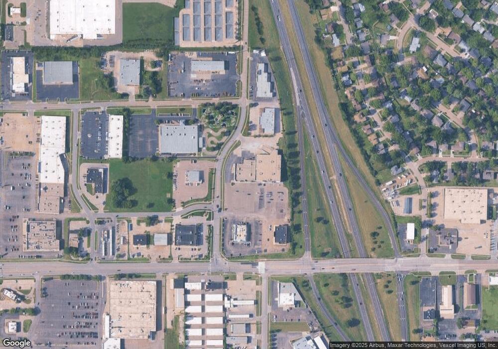
Map
Nearby Homes
- 5859 SW 22nd Terrace Unit 3
- 1906 SW Village Dr
- 0000 SW 22nd Terrace
- 5324 SW 24th St
- 000 U S 75
- 6040 SW 25th St
- 5802 SW Sterling Ln
- 8008 SW 26th Terrace Unit Lot 8, Block B
- 8016 SW 26th Terrace Unit Lot 10, Block B
- 6054 SW 25th St
- 1728 SW Fairlawn Rd
- 1306 SW Glendale Dr
- 2124 SW Meadow Ln
- 5518 SW Avalon Ln
- 5618 SW 14th St
- 5719 SW 27th St
- 2222 SW Pondview Dr
- 2401 SW Crest Dr
- 2433 SW Camelot Place
- 5218 SW 28th St
- 2020 SW Westport Dr
- 2009 SW Westport Dr
- 5826 SW 21st St
- 5820 SW 21st St
- 1930 SW Westport Dr
- 5836 SW 21st St
- 1935 SW Westport Dr
- Blk A Lot 1 SW Westport Dr
- 5914 SW 21st St
- 1920 SW Westport Dr
- 5830 SW 19th Terrace
- 5918 SW 21st St
- 5821 SW 21st St
- 2100 SW Westport Dr
- 5907 SW 21st St
- 5840 SW 19th Terrace
- 1943 SW Arrowhead Rd
- 1949 SW Arrowhead Rd
- 1937 SW Arrowhead Rd
- 5948 SW 21st St