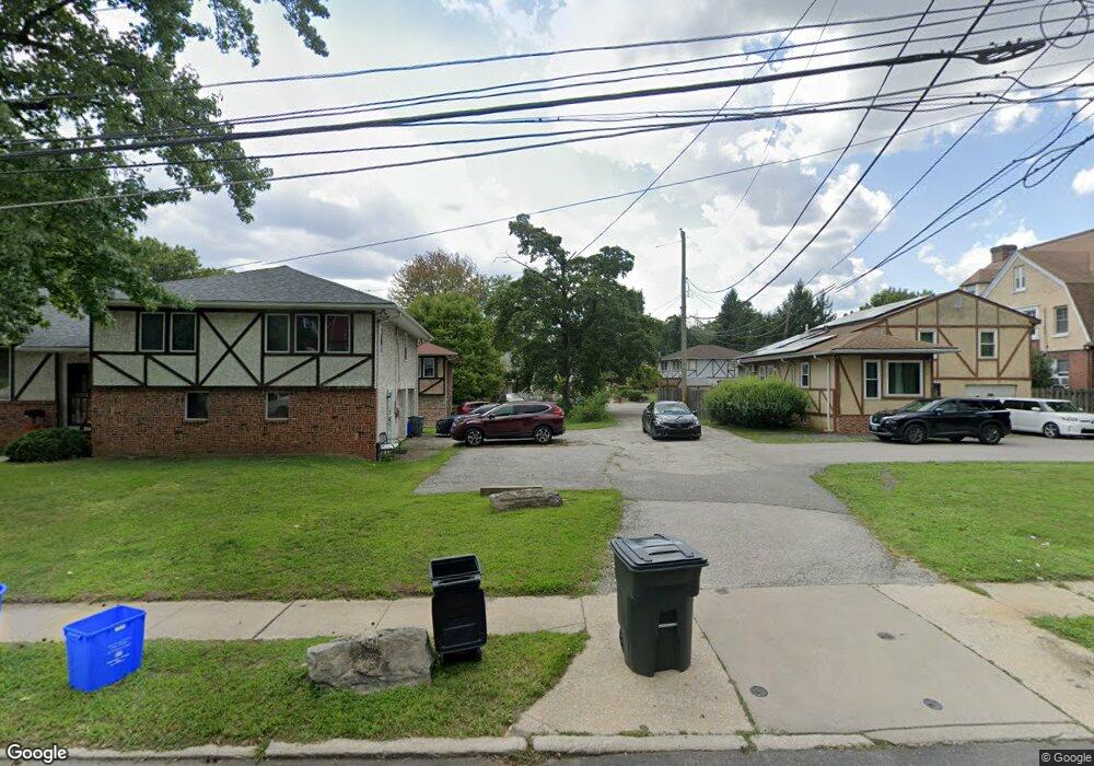
2010 Upland Way Philadelphia, PA 19131
Overbrook NeighborhoodEstimated Value: $224,000 - $352,000
--
Bed
--
Bath
1,288
Sq Ft
$228/Sq Ft
Est. Value
About This Home
This home is located at 2010 Upland Way, Philadelphia, PA 19131 and is currently estimated at $293,590, approximately $227 per square foot. 2010 Upland Way is a home located in Philadelphia County with nearby schools including Samuel Gompers School, Overbrook High School, and Ad Prima Charter School.
Ownership History
Date
Name
Owned For
Owner Type
Purchase Details
Closed on
Jan 26, 2006
Sold by
Bynum Mary
Bought by
Bynum Mary and Bynum Lee Margaret
Current Estimated Value
Home Financials for this Owner
Home Financials are based on the most recent Mortgage that was taken out on this home.
Original Mortgage
$200,000
Interest Rate
8.43%
Mortgage Type
Fannie Mae Freddie Mac
Create a Home Valuation Report for This Property
The Home Valuation Report is an in-depth analysis detailing your home's value as well as a comparison with similar homes in the area
Home Values in the Area
Average Home Value in this Area
Purchase History
| Date | Buyer | Sale Price | Title Company |
|---|---|---|---|
| Bynum Mary | -- | None Available |
Source: Public Records
Mortgage History
| Date | Status | Borrower | Loan Amount |
|---|---|---|---|
| Closed | Bynum Mary | $200,000 |
Source: Public Records
Tax History Compared to Growth
Tax History
| Year | Tax Paid | Tax Assessment Tax Assessment Total Assessment is a certain percentage of the fair market value that is determined by local assessors to be the total taxable value of land and additions on the property. | Land | Improvement |
|---|---|---|---|---|
| 2026 | $5,073 | $294,600 | $58,920 | $235,680 |
| 2025 | $5,073 | $294,600 | $58,920 | $235,680 |
| 2024 | $5,073 | $294,600 | $58,920 | $235,680 |
| 2023 | $5,073 | $362,400 | $72,480 | $289,920 |
| 2022 | $2,902 | $362,400 | $72,480 | $289,920 |
| 2021 | $2,902 | $0 | $0 | $0 |
| 2020 | $2,902 | $0 | $0 | $0 |
| 2019 | $3,182 | $0 | $0 | $0 |
| 2018 | $2,917 | $0 | $0 | $0 |
| 2017 | $2,917 | $0 | $0 | $0 |
| 2016 | $2,917 | $0 | $0 | $0 |
| 2015 | $2,793 | $0 | $0 | $0 |
| 2014 | -- | $208,400 | $63,967 | $144,433 |
| 2012 | -- | $32,224 | $2,522 | $29,702 |
Source: Public Records
Map
Nearby Homes
- 5939 Drexel Rd
- 5920 Woodbine Ave
- 5933 Woodcrest Ave
- 2217 N 59th St
- 2211 Melvin St
- 5845 Woodcrest Ave
- 6127 Lebanon Ave
- 5665 Lebanon Ave
- 5667 Lebanon Ave
- 1122 26 N 63rd St
- 6158 Lebanon Ave
- 2142 N 58th St
- 6021 Clifford Terrace
- 415 City Ave Unit I-2
- 415 City Ave Unit H2
- 5708 Malvern Ave
- 6380 City Ave
- 5717 Woodcrest Ave
- 6146 W Columbia Ave
- 2112 N 57th St
- 2004 Upland Way
- 6007 Woodbine Ave
- 6005 Woodbine Ave
- 6003 Woodbine Ave
- 2014 Upland Way
- 2018 Upland Way
- 6001 Woodbine Ave
- 2022 Upland Way
- 1998 Upland Way
- 1996 Upland Way
- 2030 Upland Way
- 2013 N 63rd St
- 1992 Upland Way
- 2034 Upland Way
- 2017 N 63rd St
- 6211 Woodbine Ave Unit 7
- 6211 Woodbine Ave Unit 10
- 6211 Woodbine Ave Unit 14
- 6211 Woodbine Ave Unit 13
- 6211 Woodbine Ave Unit 1