2010 Vellis Wright Rd Lincolnton, NC 28092
Estimated Value: $431,000 - $1,126,050
3
Beds
3
Baths
2,232
Sq Ft
$313/Sq Ft
Est. Value
About This Home
This home is located at 2010 Vellis Wright Rd, Lincolnton, NC 28092 and is currently estimated at $698,513, approximately $312 per square foot. 2010 Vellis Wright Rd is a home located in Lincoln County with nearby schools including Union Elementary School, West Lincoln Middle, and West Lincoln High School.
Ownership History
Date
Name
Owned For
Owner Type
Purchase Details
Closed on
Dec 16, 2014
Sold by
Wright Lewis R and Wright Martha E
Bought by
Burton Jonathan L and Burton Liza M
Current Estimated Value
Purchase Details
Closed on
Jun 17, 2014
Bought by
Wright Lewis R and Wright Martha E Wright
Purchase Details
Closed on
Mar 16, 1994
Bought by
Wright Lewis R and Wright Derek R
Create a Home Valuation Report for This Property
The Home Valuation Report is an in-depth analysis detailing your home's value as well as a comparison with similar homes in the area
Home Values in the Area
Average Home Value in this Area
Purchase History
| Date | Buyer | Sale Price | Title Company |
|---|---|---|---|
| Burton Jonathan L | -- | None Available | |
| Wright Lewis R | $472,500 | -- | |
| Wright Lewis R | $60,000 | -- |
Source: Public Records
Tax History Compared to Growth
Tax History
| Year | Tax Paid | Tax Assessment Tax Assessment Total Assessment is a certain percentage of the fair market value that is determined by local assessors to be the total taxable value of land and additions on the property. | Land | Improvement |
|---|---|---|---|---|
| 2025 | $3,426 | $805,159 | $366,117 | $439,042 |
| 2024 | $3,406 | $805,159 | $366,117 | $439,042 |
| 2023 | $3,561 | $828,656 | $389,614 | $439,042 |
| 2022 | $2,940 | $571,879 | $286,572 | $285,307 |
| 2021 | $2,940 | $571,879 | $286,572 | $285,307 |
| 2020 | $2,750 | $571,879 | $286,572 | $285,307 |
| 2019 | $2,750 | $571,879 | $286,572 | $285,307 |
| 2018 | $2,482 | $520,376 | $278,479 | $241,897 |
| 2017 | $2,370 | $520,376 | $278,479 | $241,897 |
| 2016 | $2,370 | $520,370 | $278,473 | $241,897 |
| 2015 | $2,413 | $520,370 | $278,473 | $241,897 |
| 2014 | $1,766 | $440,801 | $261,127 | $179,674 |
Source: Public Records
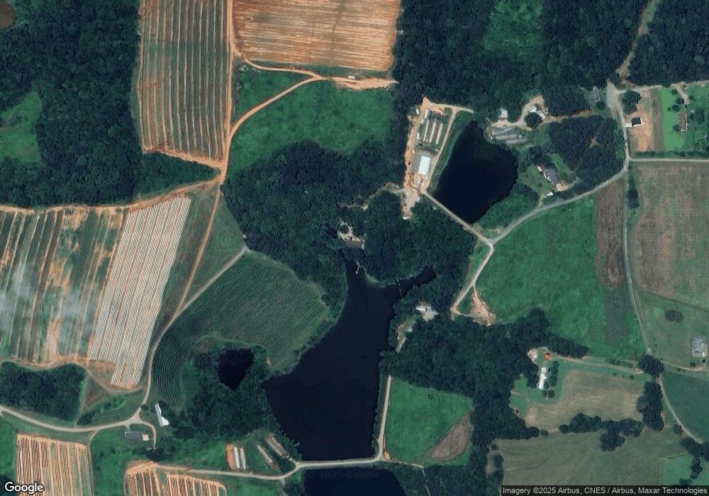
Map
Nearby Homes
- 5199 Helms End of Trail
- 5118 Flay Rd
- 4850 Gideon Dr
- 00 Flay Rd
- 4832 Gideon Dr
- 00 McCurry Farm Ln Unit F1 & F2
- 508 Shoal Rd
- 5740 Crouse Rd
- 2449 Leonhardt Rd
- 00 Westwinds Rd Unit F3
- 2124 Shoal Rd
- 4773 Westwinds Rd
- 3987 W Highway 27
- 00 N Carolina 182
- 00 Star Ln Unit 1
- 00 Wilson Ct Unit 15
- 00 Wilson Ct Unit 13
- 00 Wilson Ct Unit 12
- 5790 Summer Ln
- 1495 Leonards Fork Church Rd
- 4762 Lama Ln
- 4766 Lama Ln
- 4746 Lama Ln
- 1844 Vellis Wright Rd
- 4757 Lama Ln Unit 1
- 4718 Kowaleski Ln Unit 1
- 4690 Kowaleski Ln
- 4765 Lama Ln
- 4672 Kowaleski Ln
- 4761 Lama Ln
- 4767 Lama Ln
- 4697 Lama Ln
- 1439 Hartsoe Rd
- 1447 Hartsoe Rd
- 1400 Overbrook Trail
- 1366 Overbrook Trail
- 1346 Overbrook Trail
- 1383 Overbrook Trail
- 1583 Hartsoe Rd
- 36 Creekside Dr