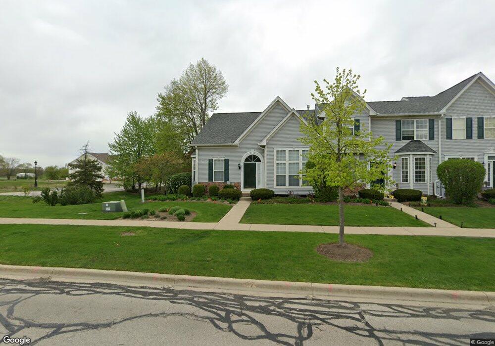
2010 Wagner Rd Batavia, IL 60510
Estimated Value: $337,000 - $390,000
2
Beds
--
Bath
1,717
Sq Ft
$210/Sq Ft
Est. Value
About This Home
This home is located at 2010 Wagner Rd, Batavia, IL 60510 and is currently estimated at $360,043, approximately $209 per square foot. 2010 Wagner Rd is a home located in Kane County with nearby schools including Hoover Wood Elementary School, Sam Rotolo Middle School, and Batavia Sr High School.
Ownership History
Date
Name
Owned For
Owner Type
Purchase Details
Closed on
Aug 29, 2001
Sold by
Lasalle Bank National Assn
Bought by
Kropidlowski Mary Ellen
Current Estimated Value
Home Financials for this Owner
Home Financials are based on the most recent Mortgage that was taken out on this home.
Original Mortgage
$110,000
Outstanding Balance
$43,113
Interest Rate
7.06%
Estimated Equity
$316,930
Create a Home Valuation Report for This Property
The Home Valuation Report is an in-depth analysis detailing your home's value as well as a comparison with similar homes in the area
Home Values in the Area
Average Home Value in this Area
Purchase History
| Date | Buyer | Sale Price | Title Company |
|---|---|---|---|
| Kropidlowski Mary Ellen | $229,000 | Chicago Title Insurance Co |
Source: Public Records
Mortgage History
| Date | Status | Borrower | Loan Amount |
|---|---|---|---|
| Open | Kropidlowski Mary Ellen | $110,000 |
Source: Public Records
Tax History Compared to Growth
Tax History
| Year | Tax Paid | Tax Assessment Tax Assessment Total Assessment is a certain percentage of the fair market value that is determined by local assessors to be the total taxable value of land and additions on the property. | Land | Improvement |
|---|---|---|---|---|
| 2024 | $7,252 | $107,728 | $20,195 | $87,533 |
| 2023 | $7,017 | $97,774 | $18,329 | $79,445 |
| 2022 | $7,019 | $91,378 | $17,130 | $74,248 |
| 2021 | $6,707 | $86,663 | $16,246 | $70,417 |
| 2020 | $6,530 | $84,997 | $15,934 | $69,063 |
| 2019 | $6,402 | $81,988 | $15,370 | $66,618 |
| 2018 | $6,123 | $78,865 | $14,785 | $64,080 |
| 2017 | $5,954 | $76,264 | $14,297 | $61,967 |
| 2016 | $5,809 | $74,043 | $13,881 | $60,162 |
| 2015 | -- | $72,357 | $13,565 | $58,792 |
| 2014 | -- | $70,079 | $13,138 | $56,941 |
| 2013 | -- | $71,932 | $16,102 | $55,830 |
Source: Public Records
Map
Nearby Homes
- 1580 Wind Energy Pass
- 1548 Wind Energy Pass
- 3S201 S Raddant Rd
- 3058 Preakness Ct
- 1667 S Raddant Rd
- 733 Wind Energy Pass
- 2909 Savannah Dr Unit 1
- 2856 Church Rd
- 1669 Pinnacle Ct
- 1332 Giese Rd Unit 2
- 1903 Flagstone Ln
- 1716 South Ct
- 610 Norcross Dr
- 1335 Chillem Dr
- 810 Columbia Cir Unit 3
- 473 Bond Dr
- 943 Orchard Ct
- 1017 Willow Ln Unit 2
- 2687 Nicole Cir
- 704 Greenbrier Ct