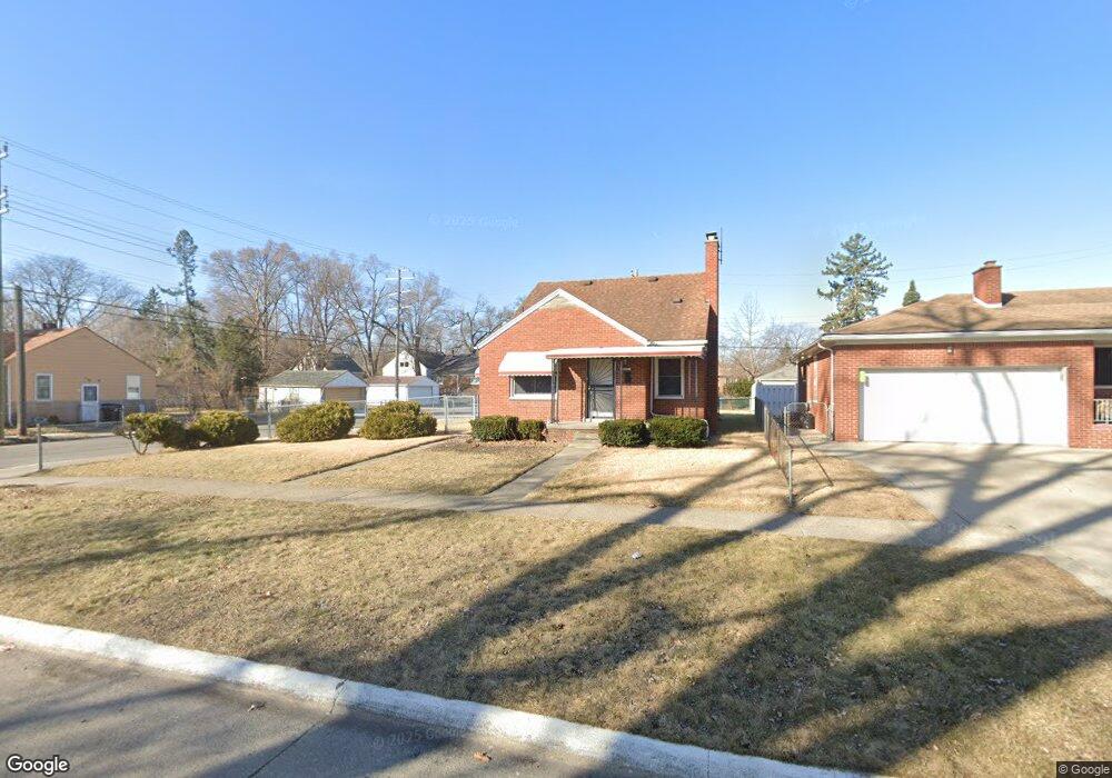
20101 Anglin St Detroit, MI 48234
Butler NeighborhoodEstimated Value: $76,000 - $113,000
3
Beds
3
Baths
1,400
Sq Ft
$64/Sq Ft
Est. Value
About This Home
This home is located at 20101 Anglin St, Detroit, MI 48234 and is currently estimated at $90,042, approximately $64 per square foot. 20101 Anglin St is a home located in Wayne County with nearby schools including Nolan Elementary/Middle School, Edward 'Duke' Ellington Conservatory of Music and Art, and Charles L. Spain Elementary-Middle School.
Ownership History
Date
Name
Owned For
Owner Type
Purchase Details
Closed on
Nov 1, 2019
Sold by
Cook Michael R and Cook Denise
Bought by
Tinsley Diane and Tinsley Chikan
Current Estimated Value
Home Financials for this Owner
Home Financials are based on the most recent Mortgage that was taken out on this home.
Original Mortgage
$33,950
Outstanding Balance
$29,897
Interest Rate
3.65%
Mortgage Type
New Conventional
Estimated Equity
$60,145
Create a Home Valuation Report for This Property
The Home Valuation Report is an in-depth analysis detailing your home's value as well as a comparison with similar homes in the area
Home Values in the Area
Average Home Value in this Area
Purchase History
| Date | Buyer | Sale Price | Title Company |
|---|---|---|---|
| Tinsley Diane | $35,000 | None Available |
Source: Public Records
Mortgage History
| Date | Status | Borrower | Loan Amount |
|---|---|---|---|
| Open | Tinsley Diane | $33,950 |
Source: Public Records
Tax History Compared to Growth
Tax History
| Year | Tax Paid | Tax Assessment Tax Assessment Total Assessment is a certain percentage of the fair market value that is determined by local assessors to be the total taxable value of land and additions on the property. | Land | Improvement |
|---|---|---|---|---|
| 2025 | $1,420 | $47,000 | $0 | $0 |
| 2024 | $1,420 | $40,300 | $0 | $0 |
| 2023 | $1,377 | $32,300 | $0 | $0 |
| 2022 | $1,512 | $25,300 | $0 | $0 |
| 2021 | $1,473 | $20,100 | $0 | $0 |
| 2020 | $1,456 | $17,300 | $0 | $0 |
| 2019 | $1,396 | $13,700 | $0 | $0 |
| 2018 | $1,223 | $12,800 | $0 | $0 |
| 2017 | $237 | $12,500 | $0 | $0 |
| 2016 | $1,415 | $36,000 | $0 | $0 |
| 2015 | $1,950 | $19,500 | $0 | $0 |
| 2013 | $2,430 | $24,296 | $0 | $0 |
| 2010 | -- | $35,621 | $1,897 | $33,724 |
Source: Public Records
Map
Nearby Homes
- 20021 Mackay St
- 20121 Mitchell St
- 20048 Fleming St
- 19951 Mackay St
- 19958 Harned St
- 20021 Fleming St
- 19948 Mitchell St
- 20181 Lumpkin St
- 20037 Gallagher St
- 20156 Gallagher St
- 23421 Harned St Unit 4
- 23429 Harned St Unit 5
- 23485 Harned St Unit 10
- 20028 Gallagher St
- 23420 Harned St Unit 1
- 19626 Mackay St
- 20209 Revere St
- 19624 Anglin St
- 19629 Harned St
- 20491 Klinger St
- 20100 Mackay St
- 20120 Mackay St
- 20049 Anglin St
- 20117 Anglin St
- 20050 Mackay St
- 20129 Anglin St
- 20128 Mackay St
- 20044 Mackay St
- 20133 Anglin St
- 20041 Anglin St
- 20141 Anglin St
- 20136 Mackay St
- 20145 Anglin St
- 20030 Mackay St
- 20031 Anglin St
- 20144 Mackay St
- 20020 Mackay St
- 20151 Anglin St
- 20019 Anglin St
- 20050 Anglin St