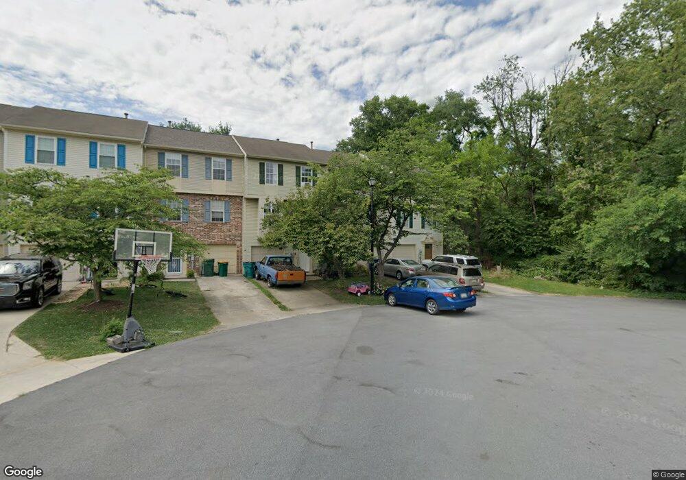
20103 Daniels Cir Hagerstown, MD 21742
Estimated Value: $251,000 - $293,000
--
Bed
3
Baths
1,780
Sq Ft
$154/Sq Ft
Est. Value
About This Home
This home is located at 20103 Daniels Cir, Hagerstown, MD 21742 and is currently estimated at $273,958, approximately $153 per square foot. 20103 Daniels Cir is a home located in Washington County with nearby schools including Ruth Ann Monroe Primary School, Eastern Elementary School, and E. Russell Hicks Middle School.
Ownership History
Date
Name
Owned For
Owner Type
Purchase Details
Closed on
Nov 17, 1998
Sold by
Carp Kelly O
Bought by
Downin Tammy E
Current Estimated Value
Purchase Details
Closed on
Jul 21, 1998
Sold by
Anthony Carp and Anthony Kelly O
Bought by
Carp Kelly O
Purchase Details
Closed on
Aug 27, 1992
Sold by
Washington Homes Inc
Bought by
Carp Anthony and Carp Kelly O
Home Financials for this Owner
Home Financials are based on the most recent Mortgage that was taken out on this home.
Original Mortgage
$91,023
Interest Rate
7.87%
Create a Home Valuation Report for This Property
The Home Valuation Report is an in-depth analysis detailing your home's value as well as a comparison with similar homes in the area
Home Values in the Area
Average Home Value in this Area
Purchase History
| Date | Buyer | Sale Price | Title Company |
|---|---|---|---|
| Downin Tammy E | $78,500 | -- | |
| Carp Kelly O | -- | -- | |
| Carp Anthony | $89,900 | -- |
Source: Public Records
Mortgage History
| Date | Status | Borrower | Loan Amount |
|---|---|---|---|
| Previous Owner | Carp Anthony | $91,023 | |
| Closed | Downin Tammy E | -- |
Source: Public Records
Tax History Compared to Growth
Tax History
| Year | Tax Paid | Tax Assessment Tax Assessment Total Assessment is a certain percentage of the fair market value that is determined by local assessors to be the total taxable value of land and additions on the property. | Land | Improvement |
|---|---|---|---|---|
| 2025 | $1,490 | $171,000 | $0 | $0 |
| 2024 | $1,490 | $143,900 | $25,000 | $118,900 |
| 2023 | $1,428 | $137,967 | $0 | $0 |
| 2022 | $1,367 | $132,033 | $0 | $0 |
| 2021 | $1,306 | $126,100 | $25,000 | $101,100 |
| 2020 | $1,306 | $123,733 | $0 | $0 |
| 2019 | $1,286 | $121,367 | $0 | $0 |
| 2018 | $1,261 | $119,000 | $25,000 | $94,000 |
| 2017 | $1,261 | $119,000 | $0 | $0 |
| 2016 | -- | $119,000 | $0 | $0 |
| 2015 | -- | $119,100 | $0 | $0 |
| 2014 | $1,487 | $119,100 | $0 | $0 |
Source: Public Records
Map
Nearby Homes
- 11302 Robinwood Dr
- 20129 Kellys Ln
- 20057 Rosebank Way
- 20036 Rosebank Way
- 20040 Rosebank Way
- 20213 Capital Ln
- 20023 Rosebank Way
- 20025 Rosebank Way
- LOT 5A Rosebank Way
- LOT 5B Rosebank Way
- 20033 Rosebank Way
- 20035 Rosebank Way
- 20039 Rosebank Way
- 20207 Huntington Ct
- 20102 Teakwood Dr
- 20314 Parkwood Ct
- 20112 Oneals Place
- 11025 Eastwood Dr
- 20204 Plumwood Dr
- 11029 Plumwood Cir
- 20105 Daniels Cir
- 20107 Daniels Cir
- 20109 Daniels Cir
- 20101 Daniels Cir
- 20111 Daniels Cir
- 11212 Robins Glenn Dr
- 11214 Robins Glenn Dr
- 11216 Robins Glenn Dr
- 11218 Robins Glenn Dr
- 11220 Robins Glenn Dr
- 20101 Kellys Ln
- 11222 Robins Glenn Dr
- 20103 Kellys Ln
- 20105 Kellys Ln
- 11224 Robins Glenn Dr
- 20107 Kellys Ln
- 11252 Grouse Ln N
- 11243 Grouse Ln N
- 11241 Grouse Ln N
- 11239 Grouse Ln N