Estimated Value: $184,000 - $218,000
3
Beds
2
Baths
1,488
Sq Ft
$132/Sq Ft
Est. Value
About This Home
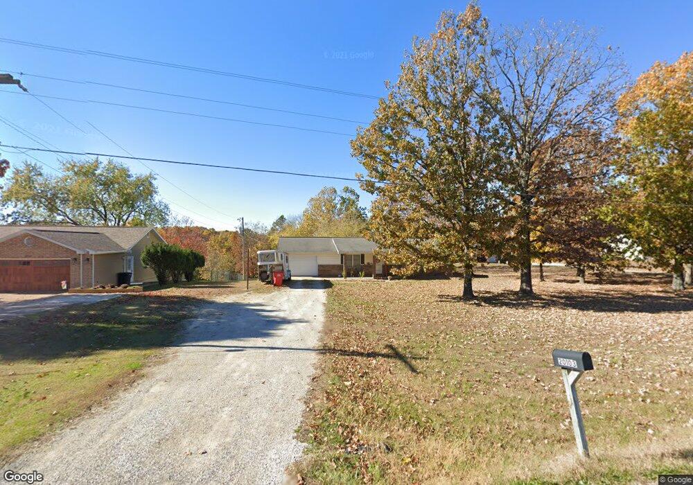
This home is located at 20103 Highway 28, Dixon, MO 65459 and is currently estimated at $196,461, approximately $132 per square foot. 20103 Highway 28 is a home located in Pulaski County with nearby schools including Dixon Elementary School, Dixon Middle School, and Dixon High School.
Ownership History
Date
Name
Owned For
Owner Type
Purchase Details
Closed on
Oct 23, 2018
Sold by
Usa Va
Bought by
Campbell Anthony P and Campbell Jessica M
Current Estimated Value
Purchase Details
Closed on
Jul 24, 2018
Sold by
S & W Foreclosure Corp
Bought by
Wells Fargo Bank Na
Purchase Details
Closed on
Mar 27, 2006
Sold by
Broadway William G and Broadway Bonnie J
Bought by
Cole Ryan and Cole Rebekah
Home Financials for this Owner
Home Financials are based on the most recent Mortgage that was taken out on this home.
Original Mortgage
$127,687
Interest Rate
6.21%
Mortgage Type
VA
Create a Home Valuation Report for This Property
The Home Valuation Report is an in-depth analysis detailing your home's value as well as a comparison with similar homes in the area
Home Values in the Area
Average Home Value in this Area
Purchase History
| Date | Buyer | Sale Price | Title Company |
|---|---|---|---|
| Campbell Anthony P | -- | -- | |
| Wells Fargo Bank Na | $77,326 | -- | |
| Cole Ryan | -- | None Available |
Source: Public Records
Mortgage History
| Date | Status | Borrower | Loan Amount |
|---|---|---|---|
| Previous Owner | Cole Ryan | $127,687 |
Source: Public Records
Tax History Compared to Growth
Tax History
| Year | Tax Paid | Tax Assessment Tax Assessment Total Assessment is a certain percentage of the fair market value that is determined by local assessors to be the total taxable value of land and additions on the property. | Land | Improvement |
|---|---|---|---|---|
| 2024 | $757 | $16,405 | $2,280 | $14,125 |
| 2023 | $754 | $16,405 | $2,280 | $14,125 |
| 2022 | $705 | $16,405 | $2,280 | $14,125 |
| 2021 | $705 | $16,405 | $2,280 | $14,125 |
| 2020 | $680 | $15,690 | $0 | $0 |
| 2019 | $679 | $15,732 | $0 | $0 |
| 2018 | $0 | $15,732 | $0 | $0 |
| 2017 | $678 | $15,690 | $0 | $0 |
| 2016 | $678 | $15,730 | $0 | $0 |
| 2015 | $678 | $15,730 | $0 | $0 |
| 2014 | $678 | $15,730 | $0 | $0 |
Source: Public Records
Map
Nearby Homes
- 13222 Hillview Ln
- 20605 Highway 28
- 20585 Highway 28
- 0 Hank Ln
- 14260 Howard Ln
- 14390 Harvey Dr
- 14505 Harvey Dr
- 21195 Highway 28
- 13705 Hawksbill Dr
- 21409 Highway 28
- 14275 Happy Dr
- 21925 Teak Ln
- 21987 Teak Ln
- 12705 Highway Pp
- 12726 Highway Pp
- 107 Birchtree Cir
- 116 Valley Way
- 11525 Highway Pp
- 121 Valley Way
- 13458 Toffee
- 20103 Highway 28
- 20103 Highway 28
- 20103 Highway 28
- 20125 Highway 28
- 20103 28 * Hwy
- 20101 Highway 28
- 21033 Highway 28
- 20077 Highway 28
- 19564 Highway 28
- 19989 Highway 28 W
- 20055 Highway 28
- 20055 Highway 28
- 20055 Highway 28
- 19988 Highway 28
- 20070 Hartford Rd
- 13175 Hassler Dr
- 20080 Hartford Rd
- 19945 Highway 28
- 19952 Highway 28
- 20017 Hartford Rd