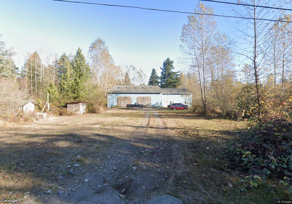
20105 128th Ave E Graham, WA 98338
Estimated Value: $668,000 - $890,000
3
Beds
2
Baths
3,240
Sq Ft
$241/Sq Ft
Est. Value
About This Home
This home is located at 20105 128th Ave E, Graham, WA 98338 and is currently estimated at $782,043, approximately $241 per square foot. 20105 128th Ave E is a home located in Pierce County with nearby schools including Nelson Elementary School, Frontier Middle School, and Graham Kapowsin High School.
Ownership History
Date
Name
Owned For
Owner Type
Purchase Details
Closed on
Nov 2, 2009
Sold by
Giovannini Kenneth C
Bought by
Ken Giovannini Limited Family Partnershi
Current Estimated Value
Purchase Details
Closed on
Mar 27, 2002
Sold by
Roush Frank H
Bought by
Giovannini Kenneth C
Purchase Details
Closed on
Mar 18, 1997
Sold by
Centennial Bank
Bought by
Roush Frank H and Roush Judy A
Create a Home Valuation Report for This Property
The Home Valuation Report is an in-depth analysis detailing your home's value as well as a comparison with similar homes in the area
Home Values in the Area
Average Home Value in this Area
Purchase History
| Date | Buyer | Sale Price | Title Company |
|---|---|---|---|
| Ken Giovannini Limited Family Partnershi | -- | None Available | |
| Giovannini Kenneth C | $45,500 | Chicago Title Insurance Co | |
| Roush Frank H | $23,425 | -- |
Source: Public Records
Tax History
| Year | Tax Paid | Tax Assessment Tax Assessment Total Assessment is a certain percentage of the fair market value that is determined by local assessors to be the total taxable value of land and additions on the property. | Land | Improvement |
|---|---|---|---|---|
| 2025 | $7,871 | $700,000 | $231,900 | $468,100 |
| 2024 | $7,871 | $665,200 | $218,000 | $447,200 |
| 2023 | $7,871 | $629,000 | $226,300 | $402,700 |
| 2022 | $7,554 | $655,600 | $214,600 | $441,000 |
| 2021 | $6,816 | $457,300 | $142,000 | $315,300 |
| 2019 | $4,756 | $415,600 | $122,300 | $293,300 |
| 2018 | $5,249 | $381,700 | $102,500 | $279,200 |
| 2017 | $4,917 | $337,000 | $80,900 | $256,100 |
| 2016 | $4,313 | $271,800 | $59,400 | $212,400 |
| 2014 | $3,784 | $255,200 | $59,400 | $195,800 |
| 2013 | $3,784 | $231,800 | $56,000 | $175,800 |
Source: Public Records
Map
Nearby Homes
- 0 126th Ave E Unit NWM2354947
- 13311 200th St E
- 20020 135th Ave E Unit 57
- 13724 199th St E
- 13510 202nd St E
- 13519 201st Street Ct E Unit 135
- 19908 135th Ave E
- 19814 135th Ave E
- 19905 135th Ave E
- 13608 199th Street Ct E
- 13714 199th Street Ct E
- 20212 Orting Kapowsin Hwy E
- 19925 137th Ave E
- 20027 137th Avenue Ct E Unit 136
- 13519 197th St E
- 19708 137th Ave E
- 11913 198th St E
- 21117 129th Ave E
- 12910 Emerald Ridge Blvd E
- 11222 191st Street Ct E
- 20117 128th Ave E
- 20110 129th Avenue Ct E
- 20116 128th Ave E
- 20007 128th Ave E
- 127 XX 202nd St E
- 10610 202nd St E
- 20020 128th Ave E
- 20109 129th Avenue Ct E
- 0 128th Ave E Unit 1195099
- 0 128th Ave E Unit 19 NWM33162790
- 20008 128th Ave E
- 20112 130th Avenue Ct E
- 20112 130th Ave E
- 12716 202nd St E
- 12616 200th St E
- 20016 130th Ave E
- 12919 200th St E
- 12712 202nd St E
- 20111 130th Ave E
- 20311 128th Ave E
Your Personal Tour Guide
Ask me questions while you tour the home.