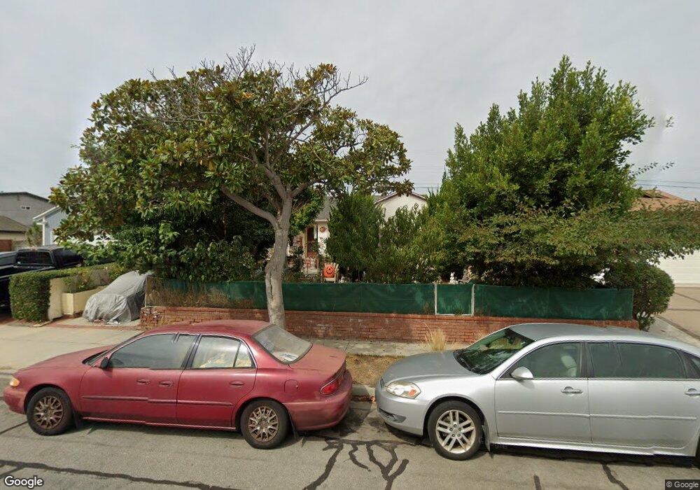
20105 Ingrum Way Torrance, CA 90503
West Torrance NeighborhoodEstimated Value: $1,319,524 - $1,448,000
3
Beds
2
Baths
1,581
Sq Ft
$858/Sq Ft
Est. Value
About This Home
This home is located at 20105 Ingrum Way, Torrance, CA 90503 and is currently estimated at $1,355,881, approximately $857 per square foot. 20105 Ingrum Way is a home located in Los Angeles County with nearby schools including Towers Elementary School, Bert M. Lynn Middle School, and West High School.
Ownership History
Date
Name
Owned For
Owner Type
Purchase Details
Closed on
Aug 11, 1998
Sold by
Yamaguchi Masato
Bought by
Hill Robin Frank and Hill Joy Habell
Current Estimated Value
Home Financials for this Owner
Home Financials are based on the most recent Mortgage that was taken out on this home.
Original Mortgage
$288,000
Interest Rate
6.71%
Create a Home Valuation Report for This Property
The Home Valuation Report is an in-depth analysis detailing your home's value as well as a comparison with similar homes in the area
Home Values in the Area
Average Home Value in this Area
Purchase History
| Date | Buyer | Sale Price | Title Company |
|---|---|---|---|
| Hill Robin Frank | $320,000 | North American Title |
Source: Public Records
Mortgage History
| Date | Status | Borrower | Loan Amount |
|---|---|---|---|
| Previous Owner | Hill Robin Frank | $288,000 |
Source: Public Records
Tax History
| Year | Tax Paid | Tax Assessment Tax Assessment Total Assessment is a certain percentage of the fair market value that is determined by local assessors to be the total taxable value of land and additions on the property. | Land | Improvement |
|---|---|---|---|---|
| 2025 | $5,814 | $501,647 | $401,327 | $100,320 |
| 2024 | $5,814 | $491,811 | $393,458 | $98,353 |
| 2023 | $5,708 | $482,169 | $385,744 | $96,425 |
| 2022 | $5,631 | $472,716 | $378,181 | $94,535 |
| 2021 | $5,524 | $463,448 | $370,766 | $92,682 |
| 2019 | $5,365 | $449,704 | $359,770 | $89,934 |
| 2018 | $5,164 | $440,887 | $352,716 | $88,171 |
| 2016 | $4,926 | $423,769 | $339,020 | $84,749 |
| 2015 | $4,819 | $417,404 | $333,928 | $83,476 |
| 2014 | $4,696 | $409,228 | $327,387 | $81,841 |
Source: Public Records
Map
Nearby Homes
- 4914 Halison St
- 20331 Anza Ave Unit 10
- 4489 Spencer St Unit 224
- 4428 Spencer St
- 4102 Spencer St
- 20520 Earl St Unit 14
- 4278 Spencer St
- 20021 Saltee Ave
- 20610 Mansel Ave
- 20462 Roslin Ave
- 20652 Vista Dr
- 2722 Spreckels Ln
- 3723 Emerald St Unit B
- 3522 Del Amo Blvd
- 606 Phelan Ln
- 2345 W 190th St Unit 77
- 2345 190th St Unit 63
- 5540 Norton St
- 18528 Kingsdale Ave
- 511 Meyer Ln Unit 8
- 20029 Ingrum Way
- 20111 Ingrum Way
- 20028 Bellemare Ave
- 20023 Ingrum Way
- 20034 Bellemare Ave
- 20121 Ingrum Way
- 4809 Carmelynn St
- 20022 Bellemare Ave
- 20104 Ingrum Way
- 4813 Carmelynn St
- 20017 Ingrum Way
- 20110 Ingrum Way
- 20028 Ingrum Way
- 20116 Ingrum Way
- 20016 Bellemare Ave
- 4817 Carmelynn St
- 20022 Ingrum Way
- 20036 Bellemare Ave
- 20011 Ingrum Way
- 20122 Ingrum Way