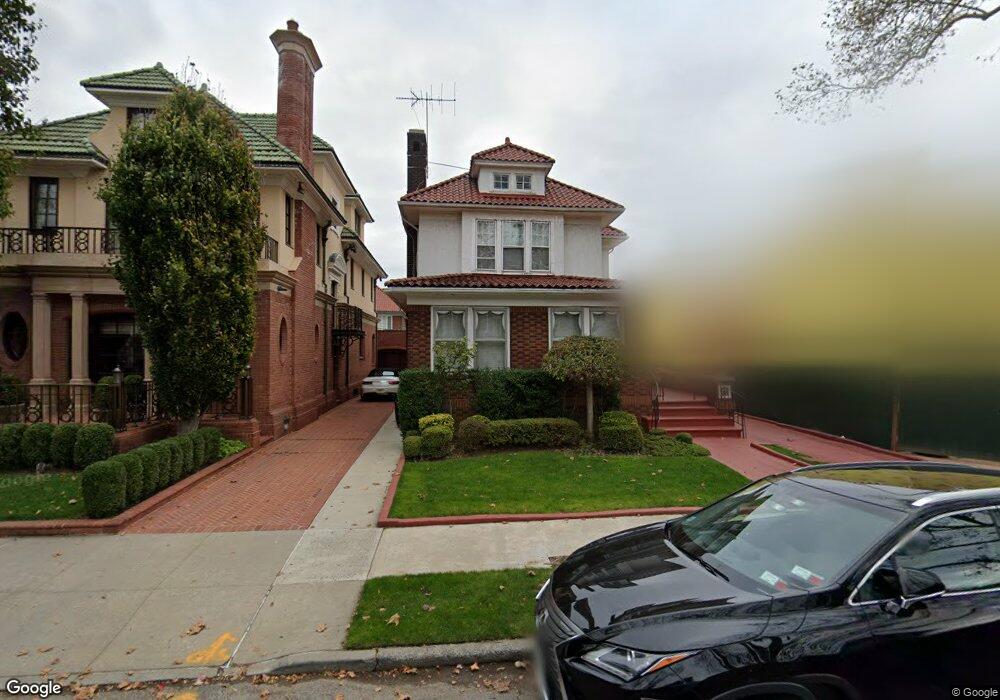
2011 E 5th St Brooklyn, NY 11223
Gravesend NeighborhoodEstimated Value: $6,082,492 - $8,486,000
Studio
--
Bath
2,432
Sq Ft
$3,055/Sq Ft
Est. Value
About This Home
This home is located at 2011 E 5th St, Brooklyn, NY 11223 and is currently estimated at $7,429,164, approximately $3,054 per square foot. 2011 E 5th St is a home located in Kings County with nearby schools including P.S. 215 Morris H Weiss, Is 228 David A Boody, and Abraham Lincoln High School.
Ownership History
Date
Name
Owned For
Owner Type
Purchase Details
Closed on
Sep 2, 2025
Sold by
Terzi Abe J and Terzi Diane
Bought by
2011 East 5Th Llc
Current Estimated Value
Home Financials for this Owner
Home Financials are based on the most recent Mortgage that was taken out on this home.
Original Mortgage
$5,000,000
Outstanding Balance
$5,000,000
Interest Rate
6.72%
Mortgage Type
Purchase Money Mortgage
Estimated Equity
$2,429,164
Create a Home Valuation Report for This Property
The Home Valuation Report is an in-depth analysis detailing your home's value as well as a comparison with similar homes in the area
Home Values in the Area
Average Home Value in this Area
Purchase History
| Date | Buyer | Sale Price | Title Company |
|---|---|---|---|
| 2011 East 5Th Llc | $8,500,000 | -- |
Source: Public Records
Mortgage History
| Date | Status | Borrower | Loan Amount |
|---|---|---|---|
| Open | 2011 East 5Th Llc | $5,000,000 |
Source: Public Records
Tax History
| Year | Tax Paid | Tax Assessment Tax Assessment Total Assessment is a certain percentage of the fair market value that is determined by local assessors to be the total taxable value of land and additions on the property. | Land | Improvement |
|---|---|---|---|---|
| 2025 | $15,263 | $251,460 | $54,540 | $196,920 |
| 2024 | $15,263 | $279,480 | $54,540 | $224,940 |
| 2023 | $14,561 | $246,480 | $54,540 | $191,940 |
| 2022 | $14,305 | $201,720 | $54,540 | $147,180 |
| 2021 | $14,950 | $155,760 | $54,540 | $101,220 |
| 2019 | $13,199 | $165,420 | $54,540 | $110,880 |
| 2018 | $12,119 | $60,913 | $23,323 | $37,590 |
| 2017 | $12,117 | $60,913 | $19,768 | $41,145 |
| 2016 | $11,759 | $60,372 | $16,655 | $43,717 |
| 2015 | $6,711 | $56,955 | $23,566 | $33,389 |
| 2014 | $6,711 | $53,745 | $26,687 | $27,058 |
Source: Public Records
Map
Nearby Homes
- 2035 E 7th St Unit 3E
- 2035 E 7th St Unit 4D
- 2035 E 7th St Unit 5F
- 2035 E 7th St Unit 3J
- 602 Avenue T Unit 6D
- 602 Avenue T Unit 6A
- 1980 E 8th St
- 812 Avenue T
- 388 Avenue S Unit 1B
- 388 Avenue S Unit 4F
- 388 Avenue S Unit 1A
- 1811 Ocean Pkwy Unit 6M
- 1811 Ocean Pkwy Unit 5L
- 367 Avenue S Unit 4A
- 367 Avenue S Unit 2E
- 393 Avenue S Unit 5H
- 393 Avenue S Unit 1G
- 393 Avenue S Unit 5D
- 393 Avenue S Unit 3G
- 393 Avenue S Unit 3H