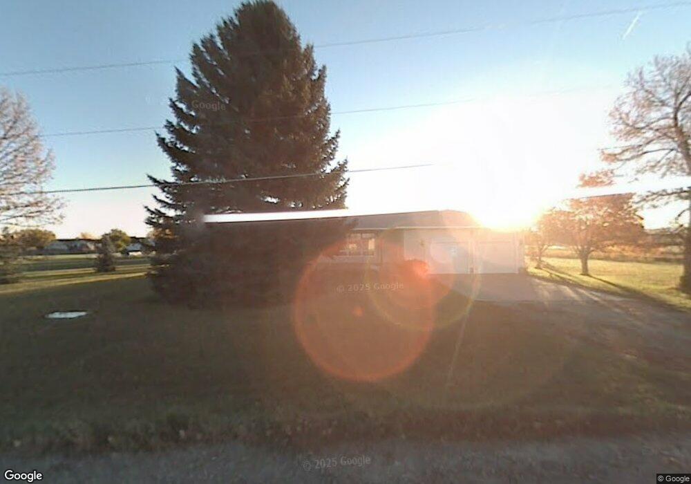
2011 Echo Dr Billings, MT 59105
Billings Heights NeighborhoodEstimated Value: $360,000 - $435,000
About This Home
This home is located at 2011 Echo Dr, Billings, MT 59105 and is currently estimated at $403,660, approximately $326 per square foot. 2011 Echo Dr is a home located in Yellowstone County with nearby schools including Bitterroot School, Medicine Crow Middle School, and Skyview High School.
Ownership History
We collect this data history from publicly available records. To have your information removed, we recommend requesting removal directly through your county’s website.
Purchase Details
Home Financials for this Owner
Home Financials are based on the most recent Mortgage that was taken out on this home.Purchase Details
Home Values in the Area
Average Home Value in this Area
Purchase History
We collect this data history from publicly available records. To have your information removed, we recommend requesting removal directly through your county’s website.
| Date | Buyer | Sale Price | Title Company |
|---|---|---|---|
| -- | Stewart Title | ||
| -- | None Available |
Mortgage History
We collect this data history from publicly available records. To have your information removed, we recommend requesting removal directly through your county’s website.
| Date | Status | Borrower | Loan Amount |
|---|---|---|---|
| Open | $165,600 |
Tax History
We collect this data history from publicly available records. To have your information removed, we recommend requesting removal directly through your county’s website.
| Year | Tax Paid | Tax Assessment Tax Assessment Total Assessment is a certain percentage of the fair market value that is determined by local assessors to be the total taxable value of land and additions on the property. | Land | Improvement |
|---|---|---|---|---|
| 2025 | $2,810 | $382,100 | $108,369 | $273,731 |
| 2024 | $2,810 | $341,000 | $92,845 | $248,155 |
| 2023 | $2,809 | $341,000 | $92,845 | $248,155 |
| 2022 | $2,721 | $285,600 | $0 | $0 |
| 2021 | $2,709 | $285,600 | $0 | $0 |
| 2020 | $2,234 | $247,700 | $0 | $0 |
| 2019 | $2,184 | $247,700 | $0 | $0 |
| 2018 | $1,799 | $198,100 | $0 | $0 |
| 2017 | $1,520 | $198,100 | $0 | $0 |
| 2016 | $1,831 | $212,700 | $0 | $0 |
| 2015 | $1,813 | $212,700 | $0 | $0 |
| 2014 | $1,584 | $97,944 | $0 | $0 |
Map
- 924 Trent Cir
- 1732 Hesperia St
- 1204 Gardenia Dr
- 1707 Hesperia St
- 1037 Caroline St
- 1941 Columbine Dr
- 1042 Crist Dr
- 1903 Columbine Dr
- 903 Lynch Dr Unit 2
- 903 Lynch Dr Unit 10
- 737 Lambrecht Ln
- 1346 Janie St
- 703 S Wagner Ln
- TBD Mary St
- 1961 Bitterroot Dr
- 1982 Sandra Dr
- 1525 Bench Blvd
- 1525 Bench Blvd Unit 29
- 2530 Kaley Ln
- 2542 Kaley Ln
- 1125 Barrett Rd
- 2020 Echo Dr
- 2005 W Echo Dr
- 2051 Echo Dr
- TBD Barrett Rd
- 1129 Barrett Rd
- 2015 W Echo Dr
- 2071 S Echo Dr
- 2030 Hawthorne Ln
- 2039 W Echo Dr
- 2040 Hawthorne Ln
- 1205 Barrett Rd
- TBD Veggie Place
- 1938 Hawthorne Ln
- 2010 W Echo Dr
- 2112 E Echo Dr
- 2050 Hawthorne Ln
- 1916 Hawthorne Ln
- 9097 Hawthorne Ln
- 2107 E Echo Dr
Ask me questions while you tour the home.