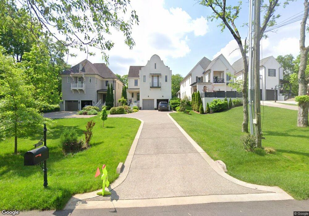
2011 Galbraith Dr Unit A Nashville, TN 37215
Green Hills NeighborhoodEstimated Value: $1,564,307 - $1,764,000
5
Beds
5
Baths
3,914
Sq Ft
$420/Sq Ft
Est. Value
About This Home
This home is located at 2011 Galbraith Dr Unit A, Nashville, TN 37215 and is currently estimated at $1,645,077, approximately $420 per square foot. 2011 Galbraith Dr Unit A is a home located in Davidson County with nearby schools including Percy Priest Elementary School, John Trotwood Moore Middle School, and Hillsboro High School.
Ownership History
Date
Name
Owned For
Owner Type
Purchase Details
Closed on
Mar 12, 2019
Sold by
High Arc Llc
Bought by
Pierre Mattew R and Pierre Emily M
Current Estimated Value
Purchase Details
Closed on
Jan 25, 2016
Sold by
The Focus Group Of Tennessee Llc
Bought by
Pierre Matthew R and Pierre Emily M
Home Financials for this Owner
Home Financials are based on the most recent Mortgage that was taken out on this home.
Original Mortgage
$745,600
Interest Rate
3.98%
Mortgage Type
New Conventional
Create a Home Valuation Report for This Property
The Home Valuation Report is an in-depth analysis detailing your home's value as well as a comparison with similar homes in the area
Home Values in the Area
Average Home Value in this Area
Purchase History
| Date | Buyer | Sale Price | Title Company |
|---|---|---|---|
| Pierre Mattew R | -- | Wagon Wheel Title | |
| Pierre Matthew R | $932,000 | Wagon Wheel Title |
Source: Public Records
Mortgage History
| Date | Status | Borrower | Loan Amount |
|---|---|---|---|
| Previous Owner | Pierre Matthew R | $745,600 |
Source: Public Records
Tax History Compared to Growth
Tax History
| Year | Tax Paid | Tax Assessment Tax Assessment Total Assessment is a certain percentage of the fair market value that is determined by local assessors to be the total taxable value of land and additions on the property. | Land | Improvement |
|---|---|---|---|---|
| 2024 | $7,945 | $244,175 | $68,000 | $176,175 |
| 2023 | $7,945 | $244,175 | $68,000 | $176,175 |
| 2022 | $9,249 | $244,175 | $68,000 | $176,175 |
| 2021 | $8,028 | $244,175 | $68,000 | $176,175 |
| 2020 | $8,429 | $199,700 | $52,000 | $147,700 |
| 2019 | $6,301 | $199,700 | $52,000 | $147,700 |
Source: Public Records
Map
Nearby Homes
- 2006A Overhill Dr
- 2021B Overhill Dr Unit B
- 2020 Castleman Dr
- 1931 Warfield Dr
- 1807 Haden Ct
- 4115 Kimbark Dr
- 2031 Overhill Dr
- 4201 Farrar Ave
- 1951 Kimbark Dr
- 1906 Warfield Dr
- 4101 Kimbark Dr
- 1924 Castleman Dr Unit B
- 1924 Castleman Dr Unit A
- 714 Summerwind Cir
- 4121 Lone Oak Rd
- 4204 Hillsboro Pike Unit 109
- 57 Brookhill Cir
- 2046 Castleman Dr
- 4220 Kirtland Rd
- 2048 Castleman Dr
- 2011 Galbraith Dr
- 2011 Galbraith Dr Unit B
- 2011A Galbraith Dr
- 2013 Galbraith Dr
- 2013 Galbraith Dr Unit A
- 2009 Galbraith Dr
- 2015 Galbraith Dr
- 2005 Galbraith Dr
- 2007 Galbraith Dr
- 2007 Galbraith Dr Unit A
- 2007B Galbraith Dr Unit 2007B
- 2012 Overhill Dr
- 2014 Overhill Dr
- 2017 Galbraith Dr
- 2017 Galbraith Dr Unit B
- 2017A Galbraith Dr
- 2017 Galbraith Dr Unit A
- 2014A Overhill Dr Unit A
- 2014B Overhill Dr Unit B
- 2017B Galbraith Dr