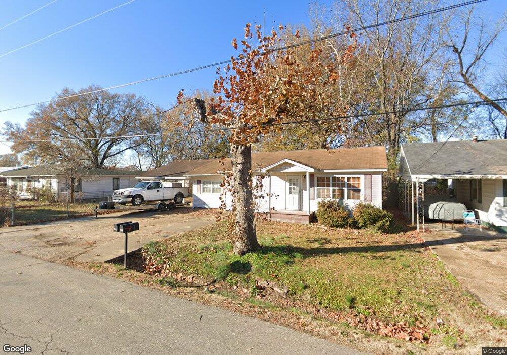
2011 Kentucky Ave Poplar Bluff, MO 63901
Estimated Value: $73,000 - $104,000
--
Bed
--
Bath
1,304
Sq Ft
$67/Sq Ft
Est. Value
About This Home
This home is located at 2011 Kentucky Ave, Poplar Bluff, MO 63901 and is currently estimated at $87,062, approximately $66 per square foot. 2011 Kentucky Ave is a home with nearby schools including Eugene Field Elementary School, Poplar Bluff Fifth & Sixth Grade Center, and Poplar Bluff Junior High School.
Ownership History
Date
Name
Owned For
Owner Type
Purchase Details
Closed on
Aug 13, 2015
Sold by
Snyder Kimberly M and Brooks Michael
Bought by
Aud Enterprises Llc
Current Estimated Value
Home Financials for this Owner
Home Financials are based on the most recent Mortgage that was taken out on this home.
Original Mortgage
$37,500
Outstanding Balance
$29,583
Interest Rate
4.12%
Mortgage Type
Future Advance Clause Open End Mortgage
Estimated Equity
$57,479
Purchase Details
Closed on
Jul 18, 2008
Sold by
Aud Kathy and Aud Doglas Eddie
Bought by
Snyder Kimberly M and Smith Lori L
Create a Home Valuation Report for This Property
The Home Valuation Report is an in-depth analysis detailing your home's value as well as a comparison with similar homes in the area
Home Values in the Area
Average Home Value in this Area
Purchase History
| Date | Buyer | Sale Price | Title Company |
|---|---|---|---|
| Aud Enterprises Llc | -- | None Available | |
| Snyder Kimberly M | -- | -- |
Source: Public Records
Mortgage History
| Date | Status | Borrower | Loan Amount |
|---|---|---|---|
| Open | Aud Enterprises Llc | $37,500 |
Source: Public Records
Tax History Compared to Growth
Tax History
| Year | Tax Paid | Tax Assessment Tax Assessment Total Assessment is a certain percentage of the fair market value that is determined by local assessors to be the total taxable value of land and additions on the property. | Land | Improvement |
|---|---|---|---|---|
| 2024 | $3 | $6,390 | $0 | $0 |
| 2023 | $309 | $6,390 | $0 | $0 |
| 2022 | $306 | $6,340 | $0 | $0 |
| 2021 | $306 | $6,340 | $0 | $0 |
| 2020 | $288 | $5,880 | $0 | $0 |
| 2019 | $286 | $5,880 | $0 | $0 |
| 2018 | $286 | $5,880 | $0 | $0 |
| 2017 | -- | $5,880 | $0 | $0 |
| 2016 | -- | $5,880 | $0 | $0 |
| 2015 | -- | $5,880 | $0 | $0 |
| 2014 | -- | $5,510 | $0 | $0 |
| 2012 | $235 | $5,510 | $0 | $0 |
Source: Public Records
Map
Nearby Homes
- 1905 Kentucky Ave
- 2011 Arkansas Ave
- 2015 Arkansas Ave
- 1910 Arkansas Ave
- 2318 Arkansas Ave
- 2347 Arkansas Ave
- 1708 Kentucky Ave
- 110 Hampton Ct
- 622 Nickey St
- 251 Hampton Ct
- 243 Hampton Ct
- 318 E Henry St
- 712 Nickey St
- 231 Hampton Ct
- 2335 Cheshire Blvd
- 404 E Henry St
- 439 E Henry St
- 1000 W Victor St
- 1025 Delano St
- 2121 Pike St
- 2009 Kentucky Ave
- 2015 Kentucky Ave
- 2012 Kentucky Ave
- 2017 Kentucky Ave
- 2005 Kentucky Ave
- 2008 Kentucky Ave
- 2014 Kentucky Ave
- 2019 Kentucky Ave
- 2010 S Missouri Ave
- 2008 S Missouri Ave
- 2004 Kentucky Ave
- 2003 Kentucky Ave
- 2004 S Missouri Ave
- 2018 Kentucky Ave
- 2002 Kentucky Ave
- 2020 S Missouri Ave
- 2000 S Missouri Ave
- 401 W Midland St
- 405 W Midland St
- 2022 Missouri W