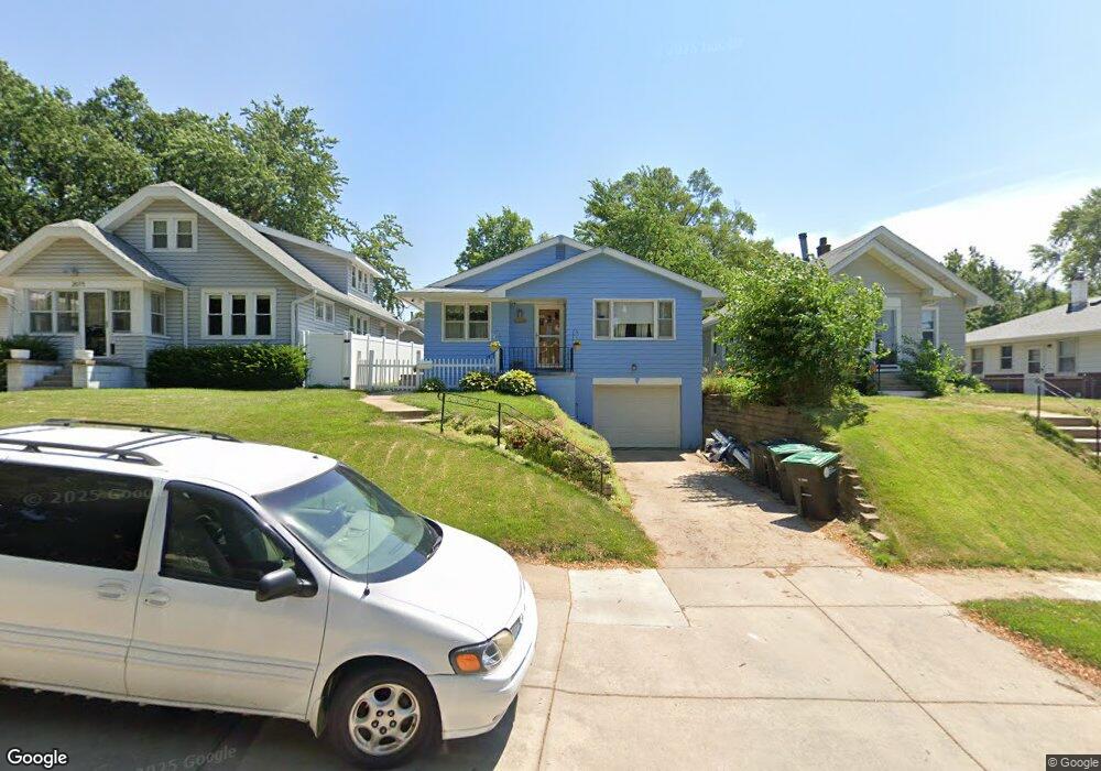
2011 N 60th Ave Omaha, NE 68104
Benson NeighborhoodEstimated Value: $206,000 - $208,000
2
Beds
5
Baths
1,346
Sq Ft
$154/Sq Ft
Est. Value
About This Home
This home is located at 2011 N 60th Ave, Omaha, NE 68104 and is currently estimated at $207,222, approximately $153 per square foot. 2011 N 60th Ave is a home located in Douglas County with nearby schools including Rose Hill Elementary School, Monroe Middle School, and Benson Magnet High School.
Ownership History
Date
Name
Owned For
Owner Type
Purchase Details
Closed on
May 20, 2003
Sold by
Langenfeld Jason G and Langenfeld Angela
Bought by
Kirk Miriam A
Current Estimated Value
Home Financials for this Owner
Home Financials are based on the most recent Mortgage that was taken out on this home.
Original Mortgage
$91,500
Outstanding Balance
$39,362
Interest Rate
5.65%
Mortgage Type
Purchase Money Mortgage
Estimated Equity
$167,860
Create a Home Valuation Report for This Property
The Home Valuation Report is an in-depth analysis detailing your home's value as well as a comparison with similar homes in the area
Home Values in the Area
Average Home Value in this Area
Purchase History
| Date | Buyer | Sale Price | Title Company |
|---|---|---|---|
| Kirk Miriam A | $92,000 | -- |
Source: Public Records
Mortgage History
| Date | Status | Borrower | Loan Amount |
|---|---|---|---|
| Open | Kirk Miriam A | $91,500 |
Source: Public Records
Tax History
| Year | Tax Paid | Tax Assessment Tax Assessment Total Assessment is a certain percentage of the fair market value that is determined by local assessors to be the total taxable value of land and additions on the property. | Land | Improvement |
|---|---|---|---|---|
| 2025 | $2,668 | $196,100 | $17,900 | $178,200 |
| 2024 | $3,481 | $165,000 | $7,900 | $157,100 |
| 2023 | $3,481 | $165,000 | $7,900 | $157,100 |
| 2022 | $3,001 | $140,600 | $7,900 | $132,700 |
| 2021 | $2,976 | $140,600 | $7,900 | $132,700 |
| 2020 | $2,732 | $127,600 | $7,900 | $119,700 |
| 2019 | $2,740 | $127,600 | $7,900 | $119,700 |
| 2018 | $2,350 | $109,300 | $7,900 | $101,400 |
| 2017 | $2,390 | $110,600 | $21,100 | $89,500 |
| 2016 | $2,043 | $95,200 | $5,700 | $89,500 |
Source: Public Records
Map
Nearby Homes
- 5823 Burdette St
- 2418 N 60th St
- 2502 N 60th St
- 6354 Parker St
- 6460 Parker St
- 6316 Franklin St
- 5805 Ohio St
- 5828 Ohio St
- 6318 Seward St
- 5607 Decatur St
- 2002 N 55th St
- 2546 N 63rd St
- 5831 Corby St
- 2011 N 55th St
- 2520 N 56th St
- 6322 Hamilton St
- 2037 N 67th St
- 6712 Blondo St
- 2326 N 67th St
- 6518 Hamilton St
- 2007 N 60th Ave
- 2015 N 60th Ave
- 2007 N 60 Ave
- 2001 N 60th Ave
- 2019 N 60th Ave
- 2023 N 60th Ave
- 2012 N 60th St
- 2014 N 60th St
- 2004 N 60th St
- 2027 N 60th Ave
- 2020 N 60th St
- 2002 N 60th Ave
- 2024 N 60th St
- 2012 N 60th Ave
- 2016 N 60th Ave
- 2031 N 60th Ave
- 2018 N 60th Ave
- 2026 N 60th St
- 2022 N 60th Ave
- 6009 Blondo St
Your Personal Tour Guide
Ask me questions while you tour the home.