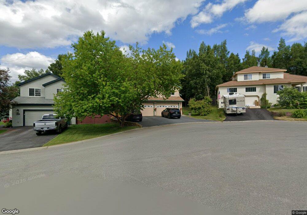
2011 Oxbow Cir Anchorage, AK 99516
Huffman-O'Malley NeighborhoodEstimated Value: $557,000 - $635,000
4
Beds
3
Baths
2,512
Sq Ft
$242/Sq Ft
Est. Value
About This Home
This home is located at 2011 Oxbow Cir, Anchorage, AK 99516 and is currently estimated at $608,811, approximately $242 per square foot. 2011 Oxbow Cir is a home located in Anchorage Municipality with nearby schools including Huffman Elementary School, Goldenview Middle School, and South Anchorage High School.
Ownership History
Date
Name
Owned For
Owner Type
Purchase Details
Closed on
Nov 20, 1998
Sold by
Continental Development Corporation
Bought by
Chouinard Bradford D and Chouinard Jill S
Current Estimated Value
Home Financials for this Owner
Home Financials are based on the most recent Mortgage that was taken out on this home.
Original Mortgage
$231,300
Outstanding Balance
$49,734
Interest Rate
6.42%
Mortgage Type
New Conventional
Estimated Equity
$559,077
Create a Home Valuation Report for This Property
The Home Valuation Report is an in-depth analysis detailing your home's value as well as a comparison with similar homes in the area
Home Values in the Area
Average Home Value in this Area
Purchase History
| Date | Buyer | Sale Price | Title Company |
|---|---|---|---|
| Chouinard Bradford D | -- | -- |
Source: Public Records
Mortgage History
| Date | Status | Borrower | Loan Amount |
|---|---|---|---|
| Open | Chouinard Bradford D | $231,300 |
Source: Public Records
Tax History
| Year | Tax Paid | Tax Assessment Tax Assessment Total Assessment is a certain percentage of the fair market value that is determined by local assessors to be the total taxable value of land and additions on the property. | Land | Improvement |
|---|---|---|---|---|
| 2025 | $7,525 | $575,900 | $119,300 | $456,600 |
| 2024 | $7,525 | $541,100 | $119,300 | $421,800 |
| 2023 | $8,503 | $499,300 | $119,300 | $380,000 |
| 2022 | $6,975 | $464,200 | $119,300 | $344,900 |
| 2021 | $8,026 | $445,400 | $119,300 | $326,100 |
| 2020 | $6,661 | $442,100 | $119,300 | $322,800 |
| 2019 | $6,420 | $442,400 | $119,300 | $323,100 |
| 2018 | $6,181 | $426,900 | $119,300 | $307,600 |
| 2017 | $6,294 | $421,900 | $119,300 | $302,600 |
| 2016 | $5,747 | $450,600 | $119,300 | $331,300 |
| 2015 | $5,747 | $429,500 | $119,300 | $310,200 |
| 2014 | $5,747 | $403,000 | $113,900 | $289,100 |
Source: Public Records
Map
Nearby Homes
- 2048 Meander Dr
- 12621 Estuary Cir
- 2103 Tributary Cir
- 1956 Sonoma Crest Cir
- 12170 Woodward Dr
- 12314 Timberwood Cir
- 12820 Cumberland Cir
- 12241 Woodchase Cir
- 12201 Woodchase Cir
- 2430 Legacy Dr
- 11501 Hawkins Ln
- 3025 Huffman Rd
- 3661 Spinnaker Dr
- 11254 Tulin Park Loop
- 11483 Moonrise Ridge Place Unit 10
- 11418 Moonrise Ridge Place Unit 19
- 12961 Nora Dr
- 11205 Willene Dr
- 11335 Tulin Park Loop
- 1105 E Klatt Rd
- 2021 Oxbow Cir
- 1909 Meander Cir
- 2001 Oxbow Cir
- L12 B2 Oxbow Cir
- L13 B2 Oxbow Cir
- L11 B2 Oxbow Cir
- 2031 Oxbow Cir
- 1901 Meander Cir
- 18835 Gregory Rd
- 2003 Meander Dr
- 1920 Meander Cir
- 2151 Meander Dr
- 1932 Meander Cir
- 2141 Meander Dr
- 2015 Meander Dr
- 1908 Meander Cir
- 2131 Meander Dr
- 1900 Meander Cir
- L6 B2 Meander
- L8 B2 Meander
Your Personal Tour Guide
Ask me questions while you tour the home.