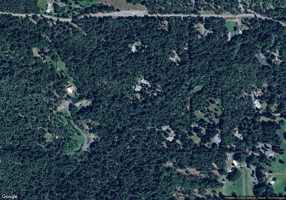
2011 Queens Branch Rd Rogue River, OR 97537
Estimated Value: $444,000 - $848,000
5
Beds
5
Baths
3,297
Sq Ft
$193/Sq Ft
Est. Value
About This Home
This home is located at 2011 Queens Branch Rd, Rogue River, OR 97537 and is currently estimated at $634,900, approximately $192 per square foot. 2011 Queens Branch Rd is a home located in Jackson County with nearby schools including South Valley Academy, Rogue River Elementary School, and Rogue River Junior/Senior High School.
Ownership History
Date
Name
Owned For
Owner Type
Purchase Details
Closed on
May 25, 2016
Sold by
Kaufman Lawrence H
Bought by
Kaufman N Lawrence H and Kaufmann Living Trust
Current Estimated Value
Purchase Details
Closed on
Apr 21, 2016
Sold by
Kaufmann Karrie L and Bellard Karrie L
Bought by
Kaufmann Lawrence H
Purchase Details
Closed on
Jul 16, 1999
Sold by
Allen Estelle G
Bought by
Kaufmann Lawrence H and Kaufmann Karrie L
Create a Home Valuation Report for This Property
The Home Valuation Report is an in-depth analysis detailing your home's value as well as a comparison with similar homes in the area
Home Values in the Area
Average Home Value in this Area
Purchase History
| Date | Buyer | Sale Price | Title Company |
|---|---|---|---|
| Kaufman N Lawrence H | -- | None Available | |
| Kaufmann Lawrence H | -- | None Available | |
| Kaufmann Lawrence H | $80,000 | -- |
Source: Public Records
Tax History Compared to Growth
Tax History
| Year | Tax Paid | Tax Assessment Tax Assessment Total Assessment is a certain percentage of the fair market value that is determined by local assessors to be the total taxable value of land and additions on the property. | Land | Improvement |
|---|---|---|---|---|
| 2025 | $3,043 | $303,830 | $37,970 | $265,860 |
| 2024 | $3,043 | $294,988 | $57,018 | $237,970 |
| 2023 | $2,942 | $286,396 | $55,366 | $231,030 |
| 2022 | $2,879 | $286,396 | $55,366 | $231,030 |
| 2021 | $2,794 | $278,055 | $53,745 | $224,310 |
| 2020 | $2,727 | $269,965 | $52,185 | $217,780 |
| 2019 | $2,660 | $254,475 | $49,195 | $205,280 |
| 2018 | $8,337 | $247,066 | $47,766 | $199,300 |
| 2017 | $2,532 | $247,066 | $47,766 | $199,300 |
| 2016 | $1,169 | $106,940 | $45,020 | $61,920 |
| 2015 | $1,134 | $106,940 | $45,020 | $61,920 |
| 2014 | $1,097 | $100,817 | $42,437 | $58,380 |
Source: Public Records
Map
Nearby Homes
- 7435 W Evans Creek Rd
- 8797 W Evans Creek Rd
- 7310 W Evans Creek Rd
- 7118 Redthorne Rd
- 835 Minthorne Rd
- 9184 W Evans Creek Rd
- 1205 Pine Grove Rd
- 1105 Pine Grove Rd
- 255 Queens Branch Rd
- 149 Queens Branch Rd
- 1475 Pleasant Creek Rd
- 6324 E Evans Creek Rd
- 5406 E Evans Creek Rd
- 643 Covered Bridge Rd
- 8951 E Evans Creek Rd Unit 14
- 0 Jump Creek Rd Unit 104823965
- 256 Deruyte Way
- 798 Covered Bridge Rd
- 257 Deruyte Way
- 254 Deruyte Way
- 2017 Queens Branch Rd
- 2405 Queens Branch Rd
- 2335 Queens Branch Rd
- 2585 Queens Branch Rd
- 2365 Queens Branch Rd
- 2029 Queens Branch Rd Unit 2023
- 2029 Queens Branch Rd
- 2275 Queens Branch Rd
- 2021 Queens Branch Rd
- 2031 Queens Branch Rd
- 2213 Queens Branch Rd
- 2572 Queens Branch Rd
- 2101 Queens Branch Rd
- 2280 Queens Branch Rd
- 2035 Queens Branch Rd
- 2085 Queens Branch Rd
- 2220 Queens Branch Rd
- 1917 Queens Branch Rd
- 2032 Queens Branch Rd
