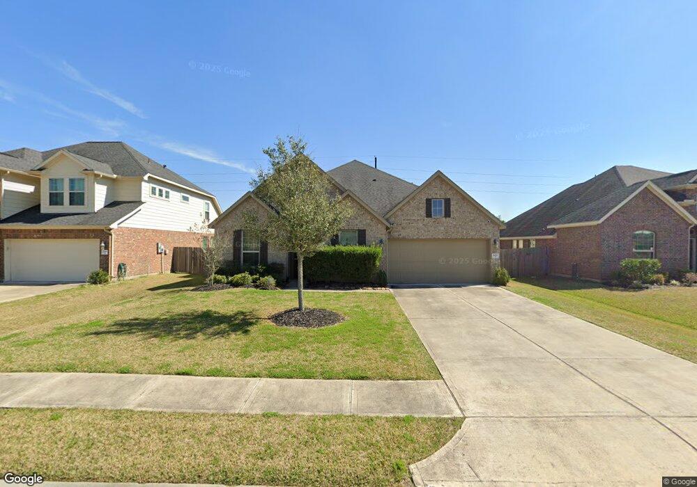
2011 Rolling Hills Dr Pearland, TX 77581
Estimated Value: $394,722 - $450,000
--
Bed
--
Bath
2,544
Sq Ft
$167/Sq Ft
Est. Value
About This Home
This home is located at 2011 Rolling Hills Dr, Pearland, TX 77581 and is currently estimated at $424,181, approximately $166 per square foot. 2011 Rolling Hills Dr is a home with nearby schools including E A Lawhon Elementary School, Pearland Junior High School West, and Leon H. Sablatura Middle School.
Ownership History
Date
Name
Owned For
Owner Type
Purchase Details
Closed on
Mar 31, 2015
Sold by
Mhi Partnership Ltd
Bought by
Daniel Lawrence Reginald and Daniel Candace Naomi
Current Estimated Value
Home Financials for this Owner
Home Financials are based on the most recent Mortgage that was taken out on this home.
Original Mortgage
$282,576
Outstanding Balance
$218,163
Interest Rate
3.82%
Mortgage Type
FHA
Estimated Equity
$206,018
Create a Home Valuation Report for This Property
The Home Valuation Report is an in-depth analysis detailing your home's value as well as a comparison with similar homes in the area
Home Values in the Area
Average Home Value in this Area
Purchase History
| Date | Buyer | Sale Price | Title Company |
|---|---|---|---|
| Daniel Lawrence Reginald | -- | Millennium Title Co |
Source: Public Records
Mortgage History
| Date | Status | Borrower | Loan Amount |
|---|---|---|---|
| Open | Daniel Lawrence Reginald | $282,576 |
Source: Public Records
Tax History Compared to Growth
Tax History
| Year | Tax Paid | Tax Assessment Tax Assessment Total Assessment is a certain percentage of the fair market value that is determined by local assessors to be the total taxable value of land and additions on the property. | Land | Improvement |
|---|---|---|---|---|
| 2025 | $7,717 | $431,930 | $59,470 | $372,460 |
| 2023 | $7,717 | $393,782 | $59,470 | $346,740 |
| 2022 | $9,063 | $357,984 | $50,980 | $316,920 |
| 2021 | $8,743 | $325,440 | $42,480 | $282,960 |
| 2020 | $9,216 | $328,340 | $42,480 | $285,860 |
| 2019 | $8,663 | $305,470 | $42,480 | $262,990 |
| 2018 | $8,046 | $273,510 | $42,480 | $231,030 |
| 2017 | $8,230 | $278,130 | $42,480 | $235,650 |
| 2016 | $8,162 | $275,850 | $42,480 | $233,370 |
Source: Public Records
Map
Nearby Homes
- 2008 Granite Pass Dr
- 7825 Hughes Ranch Rd
- 1745 Stone Rd
- 2413 Quiet Arbor Ln
- 8002 Seddon Rd
- 1706 Roy Rd
- 1634 Roy Rd
- 2350 Hawk Meadows
- 2123 Lee Rd
- 00 Max Rd
- 2453 Roy Rd Unit 105
- 2236 Garden Rd Cr 109
- 1849 Garden Rd
- 8033 Mchard Rd Unit 106
- 8210 Mchard Rd Unit 106
- 1549 Garden Rd Unit 109
- 1 Farm To Market 1128
- 5127 Brookside Rd
- 6209 Butler Rd
- 7737 Brookside Rd
- 2009 Rolling Hills Dr
- 2013 Rolling Hills Dr
- 2007 Rolling Hills Dr
- 2015 Rolling Hills Dr
- 2005 Rolling Hills Dr
- 2008 Rolling Hills Dr
- 2010 Rolling Hills Dr
- 2012 Rolling Hills Dr
- 2014 Rolling Hills Dr
- 2006 Rolling Hills Dr
- 2003 Rolling Hills Dr
- 2004 Rolling Hills Dr
- 2011 Pleasant Valley Rd
- 2009 Pleasant Valley Rd
- 2005 Pleasant Valley Rd
- 2002 Rolling Hills Dr
- 2007 Pleasant Valley Rd
- 2003 Pleasant Valley Rd
- 2013 Pleasant Valley Rd
- 2102 Rolling Hills Dr