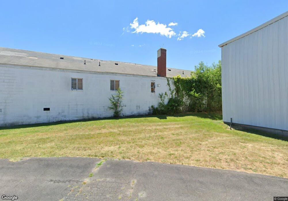
2011 Valley Ave Winchester, VA 22601
Estimated Value: $2,265,102
--
Bed
--
Bath
21,679
Sq Ft
$104/Sq Ft
Est. Value
About This Home
This home is located at 2011 Valley Ave, Winchester, VA 22601 and is currently estimated at $2,265,102, approximately $104 per square foot. 2011 Valley Ave is a home located in Winchester City with nearby schools including Garland R. Quarles Elementary School, Daniel Morgan Middle School, and John Handley High School.
Ownership History
Date
Name
Owned For
Owner Type
Purchase Details
Closed on
Nov 21, 2023
Sold by
Elms Properties Llc
Bought by
Winchester Grove Property Owner Llc
Current Estimated Value
Home Financials for this Owner
Home Financials are based on the most recent Mortgage that was taken out on this home.
Original Mortgage
$3,100,000
Outstanding Balance
$3,045,818
Interest Rate
7.49%
Mortgage Type
New Conventional
Estimated Equity
-$780,716
Create a Home Valuation Report for This Property
The Home Valuation Report is an in-depth analysis detailing your home's value as well as a comparison with similar homes in the area
Home Values in the Area
Average Home Value in this Area
Purchase History
| Date | Buyer | Sale Price | Title Company |
|---|---|---|---|
| Winchester Grove Property Owner Llc | $1,100,000 | Chicago Title |
Source: Public Records
Mortgage History
| Date | Status | Borrower | Loan Amount |
|---|---|---|---|
| Open | Winchester Grove Property Owner Llc | $3,100,000 |
Source: Public Records
Tax History Compared to Growth
Tax History
| Year | Tax Paid | Tax Assessment Tax Assessment Total Assessment is a certain percentage of the fair market value that is determined by local assessors to be the total taxable value of land and additions on the property. | Land | Improvement |
|---|---|---|---|---|
| 2025 | $17,907 | $2,252,400 | $930,400 | $1,322,000 |
| 2024 | $22,253 | $2,681,100 | $930,400 | $1,750,700 |
| 2023 | $22,253 | $2,681,100 | $930,400 | $1,750,700 |
| 2022 | $14,966 | $1,609,300 | $930,400 | $678,900 |
| 2021 | $14,966 | $1,609,300 | $930,400 | $678,900 |
| 2020 | $14,966 | $1,609,300 | $930,400 | $678,900 |
| 2019 | $14,966 | $1,609,300 | $930,400 | $678,900 |
| 2018 | $7,322 | $1,609,300 | $930,400 | $678,900 |
| 2017 | $14,086 | $1,609,300 | $930,400 | $678,900 |
| 2016 | $14,086 | $1,547,900 | $930,400 | $617,500 |
| 2015 | $14,086 | $1,547,900 | $930,400 | $617,500 |
| 2014 | $14,372 | $1,512,800 | $930,400 | $582,400 |
Source: Public Records
Map
Nearby Homes
- TBB Monteith Dr Unit DEEP CREEK II
- TBB Monteith Dr Unit BEDFORD II
- 210 Monteith Dr
- 206 Monteith Dr
- Bedford II Plan at Village at Valor Crossing - Townhomes
- Deep Creek II Plan at Village at Valor Crossing - Townhomes
- 681 Hillman Dr
- 1829 Harvest Dr
- 1805 Harvest Dr
- 1817 Harvest Dr
- 230 Monteith Dr
- 222 Monteith Dr
- 209 Monteith Dr
- 205 Monteith Dr
- 2165 Harvest Dr
- 930 Wayne Dr
- Adams Plan at Abrams Crossing at Meadow Branch
- Adams II Plan at Abrams Crossing at Meadow Branch
- 1815 Reese
- 908 Cedar Creek Grade
- 2045 Valley Ave
- 2045 Valley Ave Unit 205
- 2047 Valley Ave
- 1955 Valley Ave
- 513 Hillman Dr
- 507 Hillman Dr
- 517 Hillman Dr
- 1 Beehive Way
- 1939 Valley Ave
- 508 Hillman Dr
- 504 Hillman Dr
- Hillman Dr
- 520 Hillman Dr
- 2004 Valley Ave
- 2101 Valley Ave
- 2026 Valley Ave
- 1936 Valley Ave
- 509 Cather Ave
- 511 Cather Ave
- 524 Hillman Dr