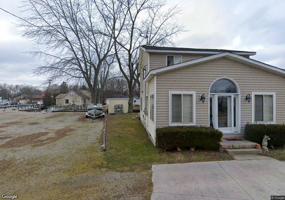
2011 W Park Dr Algonac, MI 48001
Estimated Value: $119,867 - $185,000
Studio
--
Bath
--
Sq Ft
4,792
Sq Ft Lot
About This Home
This home is located at 2011 W Park Dr, Algonac, MI 48001 and is currently estimated at $147,217. 2011 W Park Dr is a home located in St. Clair County.
Ownership History
Date
Name
Owned For
Owner Type
Purchase Details
Closed on
Jan 29, 2026
Sold by
Fignar Andrew
Bought by
Andrew And Linda S Fignar Living Trust and Fignar
Current Estimated Value
Purchase Details
Closed on
Jun 17, 2025
Sold by
Caponi Claude S
Bought by
Claude S Caponi And Denise M Caponi Trust and Caponi
Purchase Details
Closed on
May 11, 2007
Sold by
Renshaw Ronald N and Renshaw Kelly C
Bought by
Hamel Frederic G and Caponi Claude S
Purchase Details
Closed on
Mar 9, 2007
Sold by
The Estate Of Joyce A Kendall
Bought by
Renshaw Ronald N and Renshaw Kelly C
Home Financials for this Owner
Home Financials are based on the most recent Mortgage that was taken out on this home.
Original Mortgage
$106,875
Interest Rate
6.27%
Mortgage Type
New Conventional
Create a Home Valuation Report for This Property
The Home Valuation Report is an in-depth analysis detailing your home's value as well as a comparison with similar homes in the area
Home Values in the Area
Average Home Value in this Area
Purchase History
| Date | Buyer | Sale Price | Title Company |
|---|---|---|---|
| Andrew And Linda S Fignar Living Trust | -- | None Listed On Document | |
| Claude S Caponi And Denise M Caponi Trust | -- | None Listed On Document | |
| Claude S Caponi And Denise M Caponi Trust | -- | None Listed On Document | |
| Hamel Frederic G | $66,500 | Devon Title Agency | |
| Renshaw Ronald N | $112,500 | Devon Title Agency |
Source: Public Records
Mortgage History
| Date | Status | Borrower | Loan Amount |
|---|---|---|---|
| Previous Owner | Renshaw Ronald N | $106,875 |
Source: Public Records
Tax History
| Year | Tax Paid | Tax Assessment Tax Assessment Total Assessment is a certain percentage of the fair market value that is determined by local assessors to be the total taxable value of land and additions on the property. | Land | Improvement |
|---|---|---|---|---|
| 2025 | $618 | $33,000 | $0 | $0 |
| 2024 | $794 | $32,000 | $0 | $0 |
| 2023 | $748 | $26,000 | $0 | $0 |
| 2022 | $758 | $22,000 | $0 | $0 |
| 2020 | $733 | $18,000 | $18,000 | $0 |
| 2019 | $716 | $16,000 | $0 | $0 |
| 2018 | $704 | $14,000 | $0 | $0 |
| 2017 | $672 | $12,000 | $0 | $0 |
| 2016 | $633 | $12,000 | $0 | $0 |
| 2015 | -- | $12,000 | $12,000 | $0 |
| 2014 | -- | $16,000 | $16,000 | $0 |
| 2013 | -- | $14,000 | $0 | $0 |
Source: Public Records
Map
Nearby Homes
- 2037 W Park Dr
- 00 Roselawn St
- 226 Roselawn St
- 142 Channel Syde Dr
- 474 South St
- 114 Interlochen Dr
- 1806 Michigan St
- 130 Delta Dr
- 1719 Saint Clair River Dr
- 1713 Saint Clair River Dr
- 1516 Saint Clair River Dr
- 1609 Saint Clair River Dr
- 2567 St Clair River Dr
- 1523 Saint Clair River Dr
- 9287 N River Rd Unit 1
- 9287 N River Rd Unit 1 2 & 3
- 9287 N River Rd Unit 3
- 9287 N River Rd Unit 2
- 9898 N River Rd
- 304 Kama Ct
- 116 Roselawn St
- 2021 W Park Dr
- 48228 Harbor Drive Roselawn St
- 115 N Park Dr
- 2019 W Park Dr
- 2033 W Park Dr
- 0 Roselawn
- 123 Roselawn St
- 127 Roselawn St
- 124 N Park Dr
- 139 N Park Dr
- 113 Roselawn St
- 110 Roselawn St
- 133 Roselawn St
- 2110 Saint Clair River Dr
- 120 N Park Dr
- 101 N Park Dr
- 116 N Park Dr
- 109 Roselawn St
- 137 Roselawn St
Your Personal Tour Guide
Ask me questions while you tour the home.