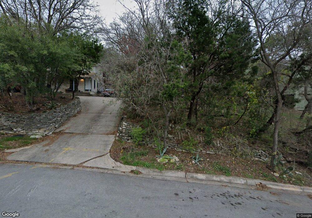
2011 Westridge Dr Unit B Austin, TX 78704
Barton Hills NeighborhoodEstimated Value: $799,000 - $1,322,522
2
Beds
2
Baths
2,294
Sq Ft
$484/Sq Ft
Est. Value
About This Home
This home is located at 2011 Westridge Dr Unit B, Austin, TX 78704 and is currently estimated at $1,109,381, approximately $483 per square foot. 2011 Westridge Dr Unit B is a home located in Travis County with nearby schools including Barton Hills Elementary School, Austin High School, and St. Ignatius Martyr School.
Ownership History
Date
Name
Owned For
Owner Type
Purchase Details
Closed on
Jun 30, 1998
Sold by
Hugh & Sally Duffield Revocable Trust
Bought by
Duffield Lee R
Current Estimated Value
Home Financials for this Owner
Home Financials are based on the most recent Mortgage that was taken out on this home.
Original Mortgage
$73,000
Interest Rate
7.13%
Purchase Details
Closed on
Feb 27, 1995
Sold by
Duffield Hugh R and Duffield Sally D
Bought by
Hugh & Sally Duffield Revocable Trust
Create a Home Valuation Report for This Property
The Home Valuation Report is an in-depth analysis detailing your home's value as well as a comparison with similar homes in the area
Home Values in the Area
Average Home Value in this Area
Purchase History
| Date | Buyer | Sale Price | Title Company |
|---|---|---|---|
| Duffield Lee R | -- | Austin Title Company | |
| Hugh & Sally Duffield Revocable Trust | $80,000 | -- |
Source: Public Records
Mortgage History
| Date | Status | Borrower | Loan Amount |
|---|---|---|---|
| Closed | Duffield Lee R | $73,000 |
Source: Public Records
Tax History Compared to Growth
Tax History
| Year | Tax Paid | Tax Assessment Tax Assessment Total Assessment is a certain percentage of the fair market value that is determined by local assessors to be the total taxable value of land and additions on the property. | Land | Improvement |
|---|---|---|---|---|
| 2025 | $17,836 | $832,690 | $632,383 | $200,307 |
| 2023 | $23,446 | $1,296,980 | $950,000 | $346,980 |
| 2022 | $23,873 | $1,208,802 | $950,000 | $258,802 |
| 2021 | $13,509 | $606,700 | $425,000 | $181,700 |
| 2020 | $9,510 | $443,370 | $382,500 | $60,870 |
| 2018 | $9,512 | $429,635 | $382,500 | $47,135 |
| 2017 | $11,282 | $509,560 | $360,000 | $149,560 |
| 2016 | $11,557 | $518,222 | $360,000 | $158,222 |
| 2015 | $10,364 | $492,613 | $285,000 | $207,613 |
| 2014 | $10,364 | $435,492 | $285,000 | $150,492 |
Source: Public Records
Map
Nearby Homes
- 2011 Westridge Dr
- 2409 Wilke Dr
- 2304 Fortune Dr
- 2411 Wilke Dr
- 2305 Rundell Place
- 2401 Homedale Cir
- 2502 Barhill Dr
- 1902 Westridge Dr
- 2109 Barton Hills Dr
- 2400 Rockingham Cir
- 2209 Rae Dell Ave
- 2306 Arpdale St Unit A
- 2116 Ann Arbor Ave Unit 1
- 2509 Ridgeview Dr
- 2500 Cedarview Dr
- 2010 Meadowridge Dr
- 2512 Ridgeview St
- 2603 Rockingham Dr
- 2201 Arpdale St
- 2015 Rabb Glen St Unit A
- 2009 Westridge Dr
- 2316 Wilke Dr Unit A
- 2316 Wilke Dr Unit B
- 2316 Wilke Dr
- 2007 Westridge Dr
- 2007 Westridge Dr Unit B
- 2007 Westridge Dr Unit A
- 2005 Westridge Dr Unit B
- 2005 Westridge Dr
- 2008 Arthur Ln
- 2010 Westridge Dr Unit B
- 2010 Westridge Dr Unit A
- 2010 Westridge Dr
- 2006 Arthur Ln
- 2008 Westridge Dr Unit B
- 2008 Westridge Dr Unit A
- 2008 Westridge Dr
- 2313 Wilke Dr
- 2101 Airole Way
- 2101 Airole Way Unit B