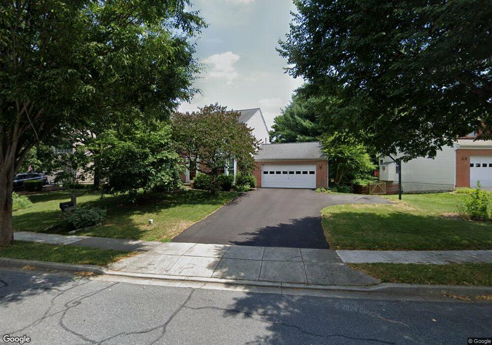
2012 Burnside Dr Frederick, MD 21702
Clover Hill NeighborhoodEstimated Value: $563,000 - $601,683
4
Beds
3
Baths
--
Sq Ft
10,890
Sq Ft Lot
About This Home
This home is located at 2012 Burnside Dr, Frederick, MD 21702 and is currently estimated at $582,171. 2012 Burnside Dr is a home located in Frederick County with nearby schools including Monocacy Elementary School, Monocacy Middle School, and Gov. Thomas Johnson High School.
Ownership History
Date
Name
Owned For
Owner Type
Purchase Details
Closed on
Apr 24, 2008
Sold by
Garrison Michael R and Garrison Patricia A
Bought by
Parson James A and Lee Joan W
Current Estimated Value
Home Financials for this Owner
Home Financials are based on the most recent Mortgage that was taken out on this home.
Original Mortgage
$280,000
Outstanding Balance
$177,553
Interest Rate
5.99%
Mortgage Type
Purchase Money Mortgage
Estimated Equity
$404,618
Purchase Details
Closed on
Apr 18, 2008
Sold by
Garrison Michael R and Garrison Patricia A
Bought by
Parson James A and Lee Joan W
Home Financials for this Owner
Home Financials are based on the most recent Mortgage that was taken out on this home.
Original Mortgage
$280,000
Outstanding Balance
$177,553
Interest Rate
5.99%
Mortgage Type
Purchase Money Mortgage
Estimated Equity
$404,618
Purchase Details
Closed on
Jun 2, 1999
Sold by
Casto Kathryn S and Casto George D
Bought by
Garrison Michael R and Garrison Patricia A
Create a Home Valuation Report for This Property
The Home Valuation Report is an in-depth analysis detailing your home's value as well as a comparison with similar homes in the area
Home Values in the Area
Average Home Value in this Area
Purchase History
| Date | Buyer | Sale Price | Title Company |
|---|---|---|---|
| Parson James A | $380,000 | -- | |
| Parson James A | $380,000 | -- | |
| Garrison Michael R | $202,000 | -- |
Source: Public Records
Mortgage History
| Date | Status | Borrower | Loan Amount |
|---|---|---|---|
| Open | Parson James A | $280,000 | |
| Closed | Parson James A | $280,000 | |
| Closed | Garrison Michael R | -- |
Source: Public Records
Tax History
| Year | Tax Paid | Tax Assessment Tax Assessment Total Assessment is a certain percentage of the fair market value that is determined by local assessors to be the total taxable value of land and additions on the property. | Land | Improvement |
|---|---|---|---|---|
| 2025 | $7,181 | $481,800 | $115,600 | $366,200 |
| 2024 | $7,181 | $437,600 | $0 | $0 |
| 2023 | $6,694 | $393,400 | $0 | $0 |
| 2022 | $6,279 | $349,200 | $105,600 | $243,600 |
| 2021 | $5,687 | $333,267 | $0 | $0 |
| 2020 | $5,687 | $317,333 | $0 | $0 |
| 2019 | $5,417 | $301,400 | $95,600 | $205,800 |
| 2018 | $3,920 | $298,967 | $0 | $0 |
| 2017 | $5,324 | $301,400 | $0 | $0 |
| 2016 | $4,847 | $294,100 | $0 | $0 |
| 2015 | $4,847 | $283,767 | $0 | $0 |
| 2014 | $4,847 | $273,433 | $0 | $0 |
Source: Public Records
Map
Nearby Homes
- 405 Mcclellan Dr
- 100 Sunlight Dr
- 102 Sunlight Dr
- 1944 Crossing Stone Ct
- 118 Sunlight Ct
- 1949 Fieldstone Way
- 2022 Sumner Dr
- 113 Fieldstone Ct
- 2015 Rosecrans Ct
- 2030 Rosecrans Ct
- 108 Wheeler Ln
- 1905 Antero Ct
- 206 Blanca Ct
- 7176 Meadowbrooke Dr
- 2482 Silver Leaf Dr
- 2598 Potting Shed Ln
- 1859 Millstream Dr
- 413 Bucklebury Ln
- 2619 Broadleaf Dr
- 830 Reagans Rd
- 2010 Burnside Dr
- 2014 Burnside Dr
- 2011 Burnside Dr
- 2009 Burnside Dr
- 98 Burnside Ct
- 2016 Burnside Dr
- 96 Cumberland Ct
- 2007 Burnside Dr
- 2008 Burnside Dr
- 94 Cumberland Ct
- 98 Vicksburg Ct
- 100 Burnside Ct
- 2018 Burnside Dr
- 100 Cumberland Ct
- 2006 Burnside Dr
- 92 Cumberland Ct
- 95 Vicksburg Ct
- 2020 Burnside Dr
- 100 Vicksburg Ct
- 99 Burnside Ct
Your Personal Tour Guide
Ask me questions while you tour the home.