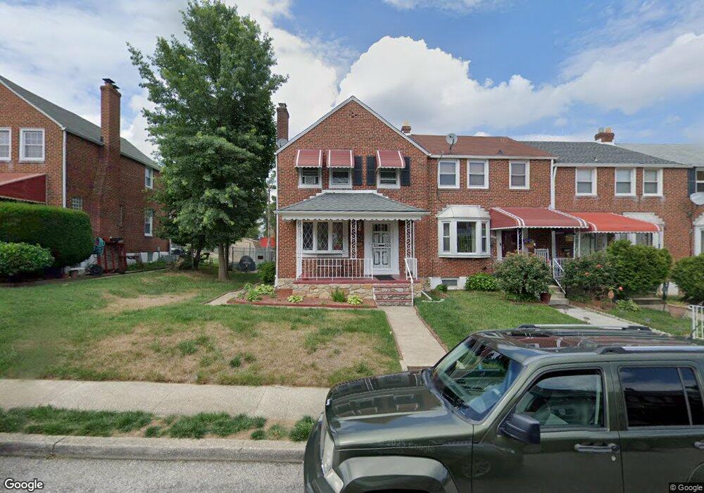
2012 Crestview Rd Baltimore, MD 21239
Loch Raven NeighborhoodEstimated Value: $174,000 - $205,657
Studio
2
Baths
1,178
Sq Ft
$161/Sq Ft
Est. Value
About This Home
This home is located at 2012 Crestview Rd, Baltimore, MD 21239 and is currently estimated at $189,829, approximately $161 per square foot. 2012 Crestview Rd is a home located in Baltimore City with nearby schools including Yorkwood Elementary School, Booker T. Washington Middle School, and Paul Laurence Dunbar High School.
Ownership History
Date
Name
Owned For
Owner Type
Purchase Details
Closed on
Feb 11, 2003
Sold by
Odoms Donald P
Bought by
Odoms Donald P
Current Estimated Value
Purchase Details
Closed on
Nov 29, 2001
Sold by
Secretary Of Housing & Urban
Bought by
Odoms Donald P and Odoms Loren A
Purchase Details
Closed on
Jan 8, 2001
Sold by
Freedman Jael Lynn
Bought by
Secretary Of Housing & Urban and Development , The
Purchase Details
Closed on
Mar 17, 1999
Sold by
Larry O Johnson Wf
Bought by
Freedman Jael Lynn
Create a Home Valuation Report for This Property
The Home Valuation Report is an in-depth analysis detailing your home's value as well as a comparison with similar homes in the area
Home Values in the Area
Average Home Value in this Area
Purchase History
| Date | Buyer | Sale Price | Title Company |
|---|---|---|---|
| Odoms Donald P | $29,445 | -- | |
| Odoms Donald P | $61,500 | -- | |
| Secretary Of Housing & Urban | $84,900 | -- | |
| Freedman Jael Lynn | $79,500 | -- |
Source: Public Records
Tax History
| Year | Tax Paid | Tax Assessment Tax Assessment Total Assessment is a certain percentage of the fair market value that is determined by local assessors to be the total taxable value of land and additions on the property. | Land | Improvement |
|---|---|---|---|---|
| 2025 | $2,957 | $149,067 | -- | -- |
| 2024 | $2,957 | $137,000 | $36,000 | $101,000 |
| 2023 | $2,948 | $137,000 | $36,000 | $101,000 |
| 2022 | $2,945 | $137,000 | $36,000 | $101,000 |
| 2021 | $3,262 | $138,200 | $36,000 | $102,200 |
| 2020 | $105 | $131,067 | $0 | $0 |
| 2019 | $2,567 | $123,933 | $0 | $0 |
| 2018 | $2,554 | $116,800 | $36,000 | $80,800 |
| 2017 | $2,554 | $115,667 | $0 | $0 |
| 2016 | $2,412 | $114,533 | $0 | $0 |
| 2015 | $2,412 | $113,400 | $0 | $0 |
| 2014 | $2,412 | $113,400 | $0 | $0 |
Source: Public Records
Map
Nearby Homes
- 2014 Crestview Rd
- 1903 Ramblewood Rd
- 1808 Swansea Rd
- 1705 Swansea Rd
- 5413 Hillen Rd
- 4929 Herring Run Dr
- 5102 Plymouth Rd
- 2107 Echodale Ave
- 5625 Pioneer Dr
- 5033 Plymouth Rd
- 5105 Plymouth Rd
- 1814 Winford Rd
- 5613 Plymouth Rd
- 5312 Catalpha Rd
- 1645 Sherwood Ave
- 2210 Cloville Ave
- 1600 Walterswood Rd
- 1708 Hartsdale Rd
- 1613 Winford Rd
- 2505 Hamilton Ave
- 2010 Crestview Rd
- 2016 Crestview Rd
- 2008 Crestview Rd
- 2018 Crestview Rd
- 2006 Crestview Rd
- 2020 Crestview Rd
- 5732 Edgepark Rd
- 2004 Crestview Rd
- 5734 Edgepark Rd
- 2022 Crestview Rd
- 2002 Crestview Rd
- 5736 Edgepark Rd
- 5738 Edgepark Rd
- 2013 Crestview Rd
- 2000 Crestview Rd
- 2015 Crestview Rd
- 2011 Crestview Rd
- 2017 Crestview Rd
- 2009 Crestview Rd
- 2019 Crestview Rd
Your Personal Tour Guide
Ask me questions while you tour the home.