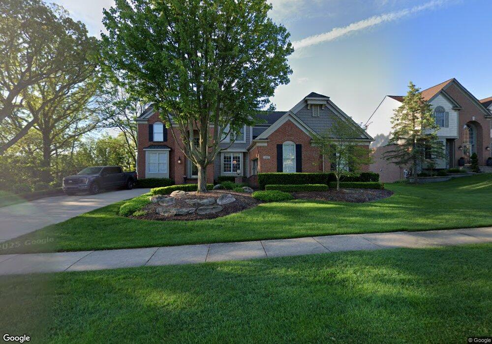
2012 Dunham Dr Rochester, MI 48306
Estimated Value: $675,829 - $831,000
4
Beds
3
Baths
3,015
Sq Ft
$255/Sq Ft
Est. Value
About This Home
This home is located at 2012 Dunham Dr, Rochester, MI 48306 and is currently estimated at $769,457, approximately $255 per square foot. 2012 Dunham Dr is a home located in Oakland County with nearby schools including Hart Middle School, Hugger Elementary School, and Stoney Creek High School.
Ownership History
Date
Name
Owned For
Owner Type
Purchase Details
Closed on
Jun 15, 2004
Sold by
Schwanke Scott T and Schwanke Paula
Bought by
Gutek Daniel J and Gutek Denise M
Current Estimated Value
Home Financials for this Owner
Home Financials are based on the most recent Mortgage that was taken out on this home.
Original Mortgage
$415,920
Outstanding Balance
$209,560
Interest Rate
6.46%
Mortgage Type
Purchase Money Mortgage
Estimated Equity
$559,897
Purchase Details
Closed on
Aug 5, 1999
Sold by
Pulte Land Development C
Bought by
Pulte Land Development Corp
Create a Home Valuation Report for This Property
The Home Valuation Report is an in-depth analysis detailing your home's value as well as a comparison with similar homes in the area
Home Values in the Area
Average Home Value in this Area
Purchase History
| Date | Buyer | Sale Price | Title Company |
|---|---|---|---|
| Gutek Daniel J | $519,900 | Philip R Seaver Title Co Inc | |
| Pulte Land Development Corp | $90,000 | -- |
Source: Public Records
Mortgage History
| Date | Status | Borrower | Loan Amount |
|---|---|---|---|
| Open | Gutek Daniel J | $415,920 |
Source: Public Records
Tax History Compared to Growth
Tax History
| Year | Tax Paid | Tax Assessment Tax Assessment Total Assessment is a certain percentage of the fair market value that is determined by local assessors to be the total taxable value of land and additions on the property. | Land | Improvement |
|---|---|---|---|---|
| 2024 | $6,379 | $300,480 | $0 | $0 |
| 2023 | $6,108 | $268,290 | $0 | $0 |
| 2022 | $6,497 | $248,450 | $0 | $0 |
| 2021 | $6,104 | $245,050 | $0 | $0 |
| 2020 | $5,731 | $236,070 | $0 | $0 |
| 2019 | $6,301 | $229,860 | $0 | $0 |
| 2018 | $6,293 | $223,430 | $0 | $0 |
| 2017 | $6,170 | $222,010 | $0 | $0 |
| 2016 | $5,974 | $213,950 | $0 | $0 |
| 2015 | -- | $203,020 | $0 | $0 |
| 2014 | -- | $189,010 | $0 | $0 |
| 2011 | -- | $163,190 | $0 | $0 |
Source: Public Records
Map
Nearby Homes
- 1983 Dunham Dr
- 1955 Clearwood Ct Unit 665
- 1322 Copper Cir Unit 26
- 2156 Willow Cir
- 2423 Buckthorn Dr
- 2583 Barberry Dr
- 2632 Hawthorne Dr S
- 2113 Marissa Way Unit 99
- 54673 Marissa Way Unit 93
- 1985 Monarch Dr Unit 7
- 6230 Winkler Mill Rd
- 628 Springview Dr Unit 120
- 1600 Mill Race
- 2282 Kingscross Dr
- 674 Springview Dr
- 54782 Whitby Way
- 877 Quarry
- 54660 Whitby Way
- 861 Quarry
- 3195 Nickelby Dr
- 2006 Dunham Dr
- 2007 Dunham Dr
- 2000 Dunham Dr
- 1977 Watson Cir
- 1989 Watson Cir
- 1132 Miners Run
- 1959 Watson Cir
- 1120 Miners Run
- 2013 Dunham Dr
- 1935 Watson Cir
- 1138 Miners Run
- 1114 Miners Run
- 1144 Miners Run
- 1919 Watson Cir
- 2019 Dunham Dr
- 1150 Miners Run
- 1911 Watson Cir
- 1125 Miners Run
- 1978 Watson Cir
- 1966 Watson Cir