Estimated Value: $126,134 - $174,000
3
Beds
1
Bath
1,275
Sq Ft
$125/Sq Ft
Est. Value
About This Home
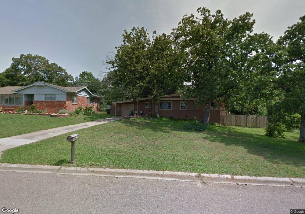
This home is located at 2012 E 11th St, Ada, OK 74820 and is currently estimated at $158,784, approximately $124 per square foot. 2012 E 11th St is a home located in Pontotoc County with nearby schools including Ada Early Childhood Center (AECC), Hayes Elementary School, and Washington Elementary School.
Ownership History
Date
Name
Owned For
Owner Type
Purchase Details
Closed on
Aug 15, 2008
Sold by
Ellis David L and Ellis Marilyn S
Bought by
Sweeden Renee
Current Estimated Value
Home Financials for this Owner
Home Financials are based on the most recent Mortgage that was taken out on this home.
Original Mortgage
$67,500
Outstanding Balance
$44,411
Interest Rate
6.38%
Mortgage Type
New Conventional
Estimated Equity
$114,373
Purchase Details
Closed on
Jun 10, 2008
Sold by
Jones Geraldine C
Bought by
Ellis David L and Ellis Marilyn S
Create a Home Valuation Report for This Property
The Home Valuation Report is an in-depth analysis detailing your home's value as well as a comparison with similar homes in the area
Purchase History
| Date | Buyer | Sale Price | Title Company |
|---|---|---|---|
| Sweeden Renee | $75,000 | None Available | |
| Ellis David L | $54,000 | None Available |
Source: Public Records
Mortgage History
| Date | Status | Borrower | Loan Amount |
|---|---|---|---|
| Open | Sweeden Renee | $67,500 |
Source: Public Records
Tax History
| Year | Tax Paid | Tax Assessment Tax Assessment Total Assessment is a certain percentage of the fair market value that is determined by local assessors to be the total taxable value of land and additions on the property. | Land | Improvement |
|---|---|---|---|---|
| 2025 | $835 | $10,017 | $2,100 | $7,917 |
| 2024 | $805 | $9,725 | $2,094 | $7,631 |
| 2023 | $805 | $9,442 | $2,092 | $7,350 |
| 2022 | $751 | $9,167 | $2,088 | $7,079 |
| 2021 | $669 | $9,167 | $2,088 | $7,079 |
| 2020 | $688 | $9,167 | $2,088 | $7,079 |
| 2019 | $689 | $9,167 | $2,088 | $7,079 |
| 2018 | $662 | $9,167 | $2,088 | $7,079 |
| 2017 | $618 | $9,167 | $2,088 | $7,079 |
| 2016 | $620 | $9,167 | $2,088 | $7,079 |
| 2015 | $606 | $8,900 | $1,000 | $7,900 |
| 2014 | $565 | $8,900 | $1,000 | $7,900 |
Source: Public Records
Map
Nearby Homes
- 1902 E 11th St
- 2011 E 13th St
- 222 S Country Club Rd
- 1918 E 15th St
- 2005 E Foster Dr
- 531 N Crownpoint Dr
- 605 Ann Ave
- 1801 E 6th St
- 2431 Foliage Dr
- 2507 Timber Terrace
- 1928 Arlington St
- 1914 E Arlington St
- 0 Arlington Hwy Unit 2546045
- 0 Arlington Blvd
- 2407 E 18th St
- 1312 E 9th St
- 1420 County Road 3613
- 1420 Northcrest Dr
- 2217 E Meandering Way
- 2627 Woodland Dr
- 2006 E 11th St
- 1928 E 11th St
- 2009 E 11th St
- 2005 E 11th St
- 1922 E 11th St
- 1923 E 11th St
- 118 Collins Blvd
- 105 N Morrison Dr
- 1914 E 11th St
- 2006 Collins Blvd
- 1917 E 11th St
- 1928 Collins Blvd
- 0 Morrison Dr
- 1908 E 11th St
- 1913 E 11th St
- 1920 Collins Blvd
- 100 S Morrison Dr
- 122 Collins Blvd
- 205 S Morrison Dr
- 128 S Morrison Dr
Your Personal Tour Guide
Ask me questions while you tour the home.