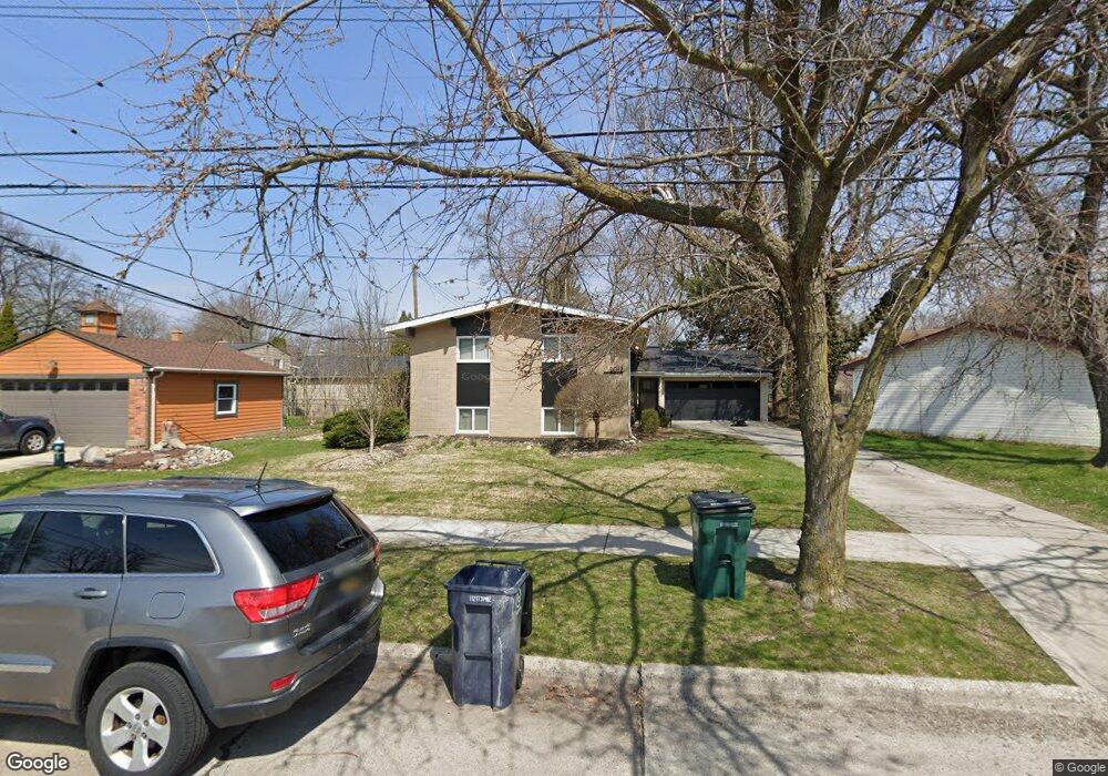
2012 Glenwood Rd Royal Oak, MI 48073
Estimated Value: $447,969 - $560,000
4
Beds
2
Baths
1,814
Sq Ft
$269/Sq Ft
Est. Value
About This Home
This home is located at 2012 Glenwood Rd, Royal Oak, MI 48073 and is currently estimated at $487,492, approximately $268 per square foot. 2012 Glenwood Rd is a home located in Oakland County with nearby schools including Addams Elementary, Royal Oak Middle School, and Royal Oak High School.
Ownership History
Date
Name
Owned For
Owner Type
Purchase Details
Closed on
Apr 24, 2020
Sold by
Gorman Timothy J
Bought by
Gorman Caroline and Gorman Daniel J
Current Estimated Value
Home Financials for this Owner
Home Financials are based on the most recent Mortgage that was taken out on this home.
Original Mortgage
$224,000
Outstanding Balance
$199,179
Interest Rate
3.6%
Mortgage Type
New Conventional
Estimated Equity
$288,313
Purchase Details
Closed on
Oct 2, 2019
Sold by
Gorman Timothy J and Gorman Allysond
Bought by
Gorman Timothy J and Gorman Allyson D
Create a Home Valuation Report for This Property
The Home Valuation Report is an in-depth analysis detailing your home's value as well as a comparison with similar homes in the area
Home Values in the Area
Average Home Value in this Area
Purchase History
| Date | Buyer | Sale Price | Title Company |
|---|---|---|---|
| Gorman Caroline | $280,000 | Vanguard Title Company | |
| Gorman Timothy J | -- | None Available |
Source: Public Records
Mortgage History
| Date | Status | Borrower | Loan Amount |
|---|---|---|---|
| Open | Gorman Caroline | $224,000 |
Source: Public Records
Tax History Compared to Growth
Tax History
| Year | Tax Paid | Tax Assessment Tax Assessment Total Assessment is a certain percentage of the fair market value that is determined by local assessors to be the total taxable value of land and additions on the property. | Land | Improvement |
|---|---|---|---|---|
| 2024 | $3,911 | $193,640 | $0 | $0 |
| 2022 | $4,621 | $174,670 | $0 | $0 |
| 2020 | $3,800 | $160,050 | $0 | $0 |
| 2018 | $4,621 | $152,790 | $0 | $0 |
| 2017 | $4,441 | $152,790 | $0 | $0 |
| 2015 | -- | $135,280 | $0 | $0 |
| 2014 | -- | $122,010 | $0 | $0 |
| 2011 | -- | $103,150 | $0 | $0 |
Source: Public Records
Map
Nearby Homes
- 2714 Glenview Ave
- 2916 Clawson Ave
- 3100 Linwood Ave Unit B, 28
- 2606 Benjamin Ave
- 2925 Benjamin Ave
- 2804 Shenandoah Dr
- 3402 Woodland Ave
- 2806 Shenandoah Dr
- 2814 Crooks Rd
- 1433 Royal Ave
- 2602 Trafford Rd
- 2403 Clawson Ave
- 2303 Linwood Ave
- 2438 Evergreen Dr
- 2614 Essex St
- 2503 W 13 Mile Rd Unit 18
- 3532 Woodland Ave
- 3526 Durham Rd
- 3415 Benjamin Ave Unit 403
- 3415 Benjamin Ave Unit 505
- 2004 Glenwood Rd
- 2806 Woodland Ave
- 2810 Woodland Ave
- 2016 Glenwood Rd
- 2814 Woodland Ave
- 1910 Glenwood Rd
- 2906 Woodland Ct
- 2902 Woodland Ct
- 2727 Ferncliff Ave
- 2910 Woodland Ct
- 2726 Woodland Ave
- 2721 Ferncliff Ave
- 1906 Glenwood Rd
- 2720 Woodland Ave
- 2807 Woodland Ave
- 2809 Woodland Ave
- 2726 Ferncliff Ave
- 2805 Woodland Ave
- 2821 Woodland Ave
- 2717 Ferncliff Ave