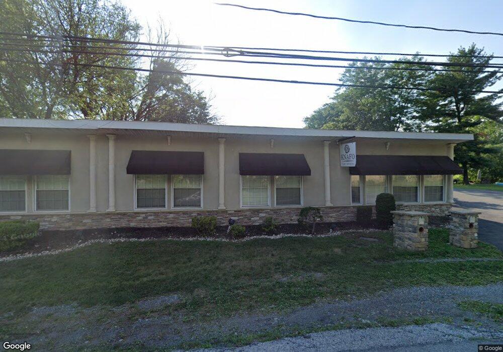
2012 Mauch Chunk Rd Allentown, PA 18104
South Whitehall Township NeighborhoodEstimated Value: $382,000 - $455,000
3
Beds
2
Baths
1,422
Sq Ft
$285/Sq Ft
Est. Value
About This Home
This home is located at 2012 Mauch Chunk Rd, Allentown, PA 18104 and is currently estimated at $405,804, approximately $285 per square foot. 2012 Mauch Chunk Rd is a home located in Lehigh County with nearby schools including Kratzer Elementary School, Orefield Middle School, and Parkland High School.
Ownership History
Date
Name
Owned For
Owner Type
Purchase Details
Closed on
Oct 31, 2006
Sold by
Knafo Maurice and Knafo Rosine
Bought by
Knafo Jerry R
Current Estimated Value
Purchase Details
Closed on
May 28, 1989
Bought by
Knafo Maurice and Knafo Rosine
Purchase Details
Closed on
May 28, 1976
Bought by
Knafo Maurice and Knafo Rosine
Create a Home Valuation Report for This Property
The Home Valuation Report is an in-depth analysis detailing your home's value as well as a comparison with similar homes in the area
Home Values in the Area
Average Home Value in this Area
Purchase History
| Date | Buyer | Sale Price | Title Company |
|---|---|---|---|
| Knafo Jerry R | -- | None Available | |
| Knafo Maurice | $25,000 | -- | |
| Knafo Maurice | $25,000 | -- |
Source: Public Records
Tax History Compared to Growth
Tax History
| Year | Tax Paid | Tax Assessment Tax Assessment Total Assessment is a certain percentage of the fair market value that is determined by local assessors to be the total taxable value of land and additions on the property. | Land | Improvement |
|---|---|---|---|---|
| 2025 | $6,228 | $256,100 | $97,200 | $158,900 |
| 2024 | $6,018 | $256,100 | $97,200 | $158,900 |
| 2023 | $5,890 | $256,100 | $97,200 | $158,900 |
| 2022 | $5,867 | $256,100 | $158,900 | $97,200 |
| 2021 | $5,867 | $256,100 | $97,200 | $158,900 |
| 2020 | $5,867 | $256,100 | $97,200 | $158,900 |
| 2019 | $5,757 | $256,100 | $97,200 | $158,900 |
| 2018 | $5,568 | $256,100 | $97,200 | $158,900 |
| 2017 | $5,375 | $256,100 | $97,200 | $158,900 |
| 2016 | -- | $253,400 | $97,200 | $156,200 |
| 2015 | -- | $253,400 | $97,200 | $156,200 |
| 2014 | -- | $253,400 | $97,200 | $156,200 |
Source: Public Records
Map
Nearby Homes
- 2020 Whitehall Ave
- 1617 Abigail Ln
- 1885 Redwood Dr
- 1931 Brown St
- 1590 Abigail Ln Unit LOT 59
- 1723 N 17th St
- 1573 Abigail Ln
- 1974 Orchard Ave
- 1935 Custer St
- 1818 W Jane St
- 1922 W Jane St
- 2057 Grove St
- 195 Shiloh Ct
- 36 Peachtree Cir
- 1405 Presidential Dr
- 1330 N 18th St
- 125 Cornerstone Place
- 2210 Grove St
- 1844 Schadt Ave
- 1538 W Woodlawn St
- 2020 Mauch Chunk Rd
- 2002 Mauch Chunk Rd
- 1970 Van Buren Dr
- 1950 Van Buren Dr
- 1990 Van Buren Dr
- 2010 Van Buren Dr
- 1926 Van Buren Dr
- 2020 Van Buren Dr
- 1961 Van Buren Dr
- 1983 Mauch Chunk Rd
- 1997 Van Buren Dr
- 2030 Van Buren Dr
- 2026 Pierce Dr
- 1932 Pierce Dr
- 1929 Breckinridge Ct
- 2040 Van Buren Dr
- 2018 Pierce Dr
- 1935 Pierce Dr
- 1944 Pierce Dr
- 2041 Van Buren Dr