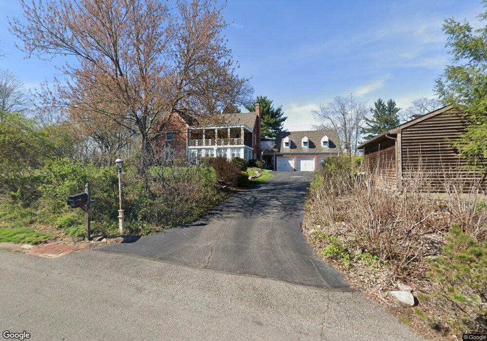
2012 Murdstone Rd Pittsburgh, PA 15241
Estimated Value: $1,028,097 - $1,083,000
4
Beds
5
Baths
3,670
Sq Ft
$285/Sq Ft
Est. Value
About This Home
This home is located at 2012 Murdstone Rd, Pittsburgh, PA 15241 and is currently estimated at $1,047,774, approximately $285 per square foot. 2012 Murdstone Rd is a home located in Allegheny County with nearby schools including Upper St. Clair High School, St. Louise De Marillac School, and Ave Maria Academy - Bethel Campus.
Ownership History
Date
Name
Owned For
Owner Type
Purchase Details
Closed on
Oct 11, 2005
Sold by
Canover William S
Bought by
Hamel Bradley W
Current Estimated Value
Home Financials for this Owner
Home Financials are based on the most recent Mortgage that was taken out on this home.
Original Mortgage
$460,000
Outstanding Balance
$246,989
Interest Rate
5.81%
Mortgage Type
New Conventional
Estimated Equity
$800,785
Create a Home Valuation Report for This Property
The Home Valuation Report is an in-depth analysis detailing your home's value as well as a comparison with similar homes in the area
Home Values in the Area
Average Home Value in this Area
Purchase History
| Date | Buyer | Sale Price | Title Company |
|---|---|---|---|
| Hamel Bradley W | $575,000 | -- |
Source: Public Records
Mortgage History
| Date | Status | Borrower | Loan Amount |
|---|---|---|---|
| Open | Hamel Bradley W | $460,000 |
Source: Public Records
Tax History
| Year | Tax Paid | Tax Assessment Tax Assessment Total Assessment is a certain percentage of the fair market value that is determined by local assessors to be the total taxable value of land and additions on the property. | Land | Improvement |
|---|---|---|---|---|
| 2025 | $20,224 | $529,500 | $100,000 | $429,500 |
| 2024 | $20,224 | $529,500 | $100,000 | $429,500 |
| 2023 | $19,657 | $529,500 | $100,000 | $429,500 |
| 2022 | $19,188 | $529,500 | $100,000 | $429,500 |
| 2021 | $2,505 | $529,500 | $100,000 | $429,500 |
| 2020 | $18,499 | $529,500 | $100,000 | $429,500 |
| 2019 | $18,226 | $529,500 | $100,000 | $429,500 |
| 2018 | $2,505 | $529,500 | $100,000 | $429,500 |
| 2017 | $17,417 | $529,500 | $100,000 | $429,500 |
| 2016 | $2,505 | $529,500 | $100,000 | $429,500 |
| 2015 | $2,505 | $529,500 | $100,000 | $429,500 |
| 2014 | $16,287 | $557,000 | $100,000 | $457,000 |
Source: Public Records
Map
Nearby Homes
- 1909 Highgate Rd
- 1693 Hathaway Ln
- 2272 Morrow Rd
- 1677 Hathaway Ln
- 1557 Pinehurst Dr
- 215 Brookside Blvd
- 1548 Pineview Dr Unit 14A
- 2400 Mill Grove Rd
- 239 Lucca Ln
- 243 Lucca Ln
- 1789 Tragone Dr
- 1344 Greystone Dr
- 1756 Taper Dr
- 2350 Morrow Rd
- 233 Lucca Ln
- 235 Lucca Ln
- 140 (Lot 111) Fair Acres Dr
- 209 (Lot 209) Barberry Ln
- 108 (Lot 103) Fair Acres Dr
- 0 Coral Johnston Unit 1706769
- 276 Trotwood Dr
- 236 Trotwood Dr
- 2016 Murdstone Rd
- 272 Trotwood Dr
- 2017 Murdstone Rd
- 2009 Murdstone Rd
- 237 Trotwood Dr
- 225 Trotwood Dr
- 2020 Murdstone Rd
- 222 Trotwood Dr
- 240 Trotwood Dr
- 279 Trotwood Dr
- 2021 Murdstone Rd
- 240 Trotwood Dr
- 275 Trotwood Dr
- 2001 Murdstone Rd
- 2001 Urdstone Rd
- 2004 Murdstone Rd
- 268 Trotwood Dr
- 2021 Outlook Dr