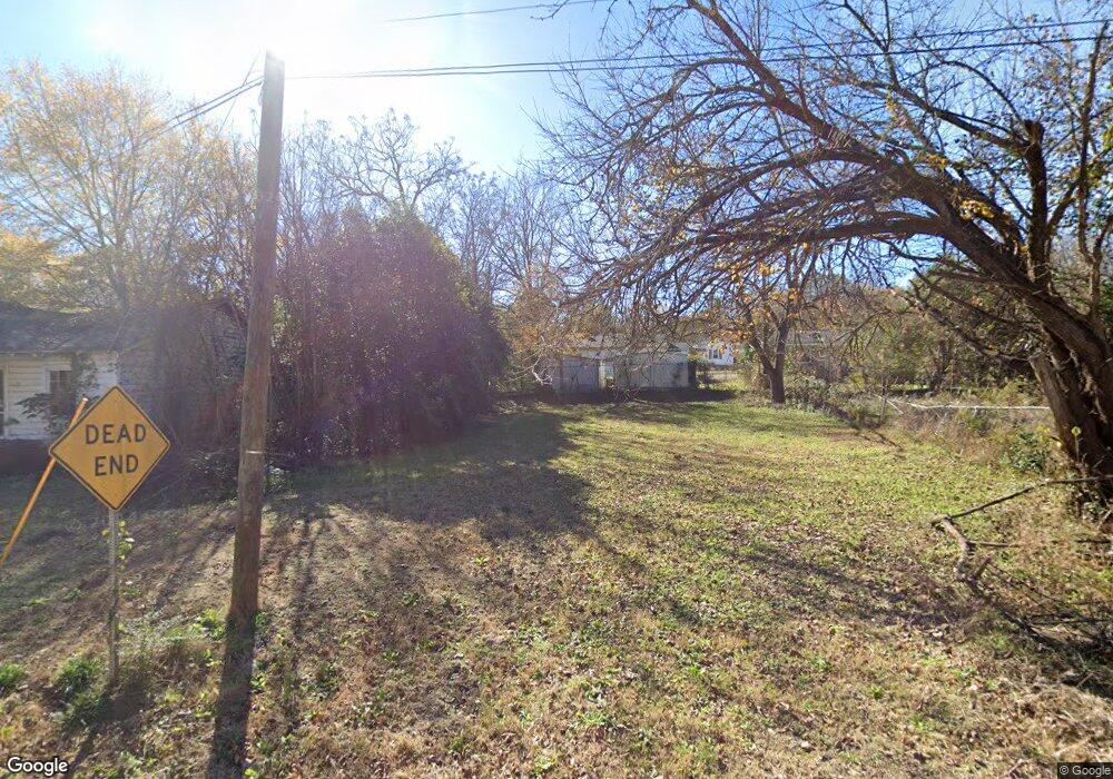
2012 Oliver St Anderson, SC 29624
Estimated Value: $69,000
2
Beds
--
Bath
742
Sq Ft
$93/Sq Ft
Est. Value
About This Home
This home is located at 2012 Oliver St, Anderson, SC 29624 and is currently priced at $69,000, approximately $92 per square foot. 2012 Oliver St is a home located in Anderson County with nearby schools including Varennes Elementary School, McCants Middle School, and T.L. Hanna High School.
Ownership History
Date
Name
Owned For
Owner Type
Purchase Details
Closed on
Jun 6, 2025
Sold by
Anderson County
Bought by
Habitat For Humanity Of Anderson Inc
Current Estimated Value
Purchase Details
Closed on
Dec 2, 2022
Sold by
Pelzer Heritage Commission
Bought by
Anderson County
Purchase Details
Closed on
Jan 13, 2017
Sold by
Anderson County
Bought by
Pelzer Heritage Commission
Home Financials for this Owner
Home Financials are based on the most recent Mortgage that was taken out on this home.
Original Mortgage
$35,000
Interest Rate
4.03%
Mortgage Type
Unknown
Purchase Details
Closed on
Dec 29, 2016
Sold by
Beatty Lillian H and Hall Sylvester
Bought by
Pelzer Heritage Commission
Home Financials for this Owner
Home Financials are based on the most recent Mortgage that was taken out on this home.
Original Mortgage
$35,000
Interest Rate
4.03%
Mortgage Type
Unknown
Create a Home Valuation Report for This Property
The Home Valuation Report is an in-depth analysis detailing your home's value as well as a comparison with similar homes in the area
Home Values in the Area
Average Home Value in this Area
Purchase History
| Date | Buyer | Sale Price | Title Company |
|---|---|---|---|
| Habitat For Humanity Of Anderson Inc | -- | None Listed On Document | |
| Habitat For Humanity Of Anderson Inc | -- | None Listed On Document | |
| Anderson County | -- | -- | |
| Pelzer Heritage Commission | -- | None Available | |
| Pelzer Heritage Commission | $9,100 | None Available |
Source: Public Records
Mortgage History
| Date | Status | Borrower | Loan Amount |
|---|---|---|---|
| Previous Owner | Pelzer Heritage Commission | $35,000 |
Source: Public Records
Tax History
| Year | Tax Paid | Tax Assessment Tax Assessment Total Assessment is a certain percentage of the fair market value that is determined by local assessors to be the total taxable value of land and additions on the property. | Land | Improvement |
|---|---|---|---|---|
| 2024 | -- | $310 | $310 | $0 |
| 2023 | $0 | $310 | $310 | $0 |
| 2022 | $0 | $160 | $160 | $0 |
| 2021 | $272 | $230 | $230 | $0 |
| 2020 | $272 | $230 | $230 | $0 |
| 2019 | $272 | $230 | $230 | $0 |
| 2018 | $0 | $230 | $230 | $0 |
| 2017 | -- | $750 | $230 | $520 |
| 2016 | $272 | $850 | $150 | $700 |
| 2015 | $271 | $850 | $150 | $700 |
| 2014 | $264 | $850 | $150 | $700 |
Source: Public Records
Map
Nearby Homes
- 329 Sherman Dr
- Tr A E Shockley Ferry Rd
- 1616 Meadowbrook Cir
- 815 Winston Dr
- 107 Avondale Rd
- 1510 S Fant St
- 120 Ashley Ave
- 513 Cleveland Ave
- 1619 Nardin Ave
- 1308 Roadway St
- 517 Thomas St
- 4 Lts Claudine Dr
- 1413 S Mcduffie St
- 1411 S Mcduffie St
- 1407 S Mcduffie St
- 6 Herring Ave
- 306 Broyles St
- 16 N Prince St
- 3247 S Mcduffie St
- 525 Fulwer St
- 2010 Oliver St
- 2014 Oliver St
- 2013 Richmond Ave
- 2011 Richmond Ave
- 2008 Oliver St
- 2015 Richmond Ave
- 2022 Oliver St
- 2009 Oliver St
- 2024 Oliver St
- 2009 Richmond Ave
- 2017 Richmond Ave
- 2007 Oliver St
- 2006 Oliver St
- 2006 Oliver St
- 2007 Richmond Ave
- 2005 Oliver St
- Lot 9 Richmond Ave
- Lot 10 Richmond Ave
- 2004 Oliver St
- 2010 Richmond Ave
Your Personal Tour Guide
Ask me questions while you tour the home.
