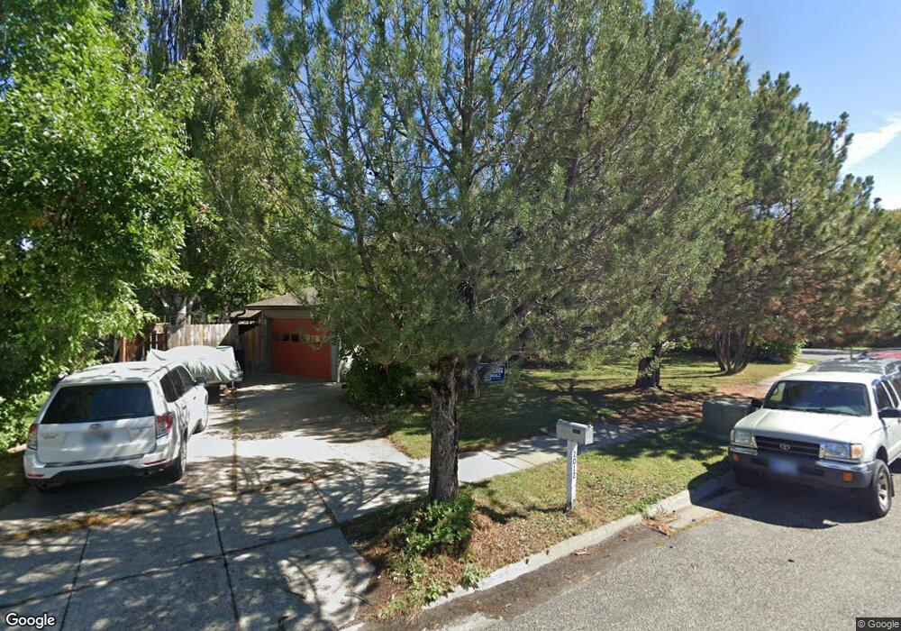
2012 S Black Ave Bozeman, MT 59715
Bozeman Creek NeighborhoodEstimated Value: $502,000 - $604,000
3
Beds
3
Baths
1,560
Sq Ft
$363/Sq Ft
Est. Value
About This Home
This home is located at 2012 S Black Ave, Bozeman, MT 59715 and is currently estimated at $565,551, approximately $362 per square foot. 2012 S Black Ave is a home located in Gallatin County with nearby schools including Longfellow School, Sacajawea Middle School, and Bozeman High School.
Ownership History
Date
Name
Owned For
Owner Type
Purchase Details
Closed on
May 31, 2019
Sold by
Storb Meryl B and Storb Meryl Biesiot
Bought by
Morey Giordan M and Murie John M
Current Estimated Value
Home Financials for this Owner
Home Financials are based on the most recent Mortgage that was taken out on this home.
Original Mortgage
$327,500
Outstanding Balance
$287,953
Interest Rate
4.1%
Mortgage Type
New Conventional
Estimated Equity
$277,598
Purchase Details
Closed on
Jul 29, 2014
Sold by
Piekielek Nathan Brian and Cattani Alison Kelly
Bought by
Storb Meryl Biesiot and Storb John William
Purchase Details
Closed on
Nov 5, 2007
Sold by
Weaver Wendy M and Steinbeisser Wendy M
Bought by
Piekielek Nathan Brian and Cattani Alison Kelly
Home Financials for this Owner
Home Financials are based on the most recent Mortgage that was taken out on this home.
Original Mortgage
$170,200
Interest Rate
6.35%
Mortgage Type
Purchase Money Mortgage
Create a Home Valuation Report for This Property
The Home Valuation Report is an in-depth analysis detailing your home's value as well as a comparison with similar homes in the area
Home Values in the Area
Average Home Value in this Area
Purchase History
| Date | Buyer | Sale Price | Title Company |
|---|---|---|---|
| Morey Giordan M | -- | American Land Title Company | |
| Storb Meryl Biesiot | -- | First American Title Company | |
| Piekielek Nathan Brian | -- | Security Title Company |
Source: Public Records
Mortgage History
| Date | Status | Borrower | Loan Amount |
|---|---|---|---|
| Open | Morey Giordan M | $327,500 | |
| Previous Owner | Piekielek Nathan Brian | $170,200 |
Source: Public Records
Tax History Compared to Growth
Tax History
| Year | Tax Paid | Tax Assessment Tax Assessment Total Assessment is a certain percentage of the fair market value that is determined by local assessors to be the total taxable value of land and additions on the property. | Land | Improvement |
|---|---|---|---|---|
| 2025 | $2,209 | $517,800 | $0 | $0 |
| 2024 | $3,698 | $555,500 | $0 | $0 |
| 2023 | $3,579 | $629,000 | $0 | $0 |
| 2022 | $2,761 | $360,100 | $0 | $0 |
| 2021 | $3,047 | $360,100 | $0 | $0 |
| 2020 | $2,731 | $319,400 | $0 | $0 |
| 2019 | $2,224 | $254,111 | $0 | $0 |
| 2018 | $2,363 | $250,300 | $0 | $0 |
| 2017 | $2,209 | $250,300 | $0 | $0 |
| 2016 | $2,165 | $229,200 | $0 | $0 |
| 2015 | $2,167 | $229,200 | $0 | $0 |
| 2014 | $1,904 | $118,455 | $0 | $0 |
Source: Public Records
Map
Nearby Homes
- 2020 S Rouse Ave Unit 7
- 1816 S Rouse Ave
- 1816 S Rouse Ave Unit 1 & 2
- 1659 S Black Ave
- 1919 Spring Creek Dr
- 29 Hoffman Dr
- 1109 E Kagy Blvd
- 2510 Fairway Dr
- 3002 Candy Ln
- 2516 Spring Creek Dr
- 2934 Sourdough Rd
- 3045 Sourdough Rd
- 1103 S Pinecrest Dr
- 2702 Langohr Ave
- 1121 Cherry Dr
- 2421 Highland Blvd
- 1207 S Spruce Dr
- 1008 S Willson Ave
- 1004 S Willson Ave
- 3300 E Graf St Unit 45
- 2012 S Black Ave Unit A
- 2009 S Rouse Ave
- 2005 S Rouse Ave
- 2006 S Black Ave
- 2000 S Black Ave
- 2000-2002 S Black Ave Unit 2000-2002
- 2000 S Black Ave Unit 2000 S Black Avenue
- 2003 S Rouse Ave
- 2003 S Rouse Ave Unit 1
- 2003 S Rouse Ave
- 1925 S Rouse Ave
- 2002 S Black Ave Unit 2002 S. Black Ave
- 2021 S Black Ave
- 2002 S Rouse Ave
- 2025 S Black Ave
- 1922 S Black Ave
- 1917 S Rouse Ave
- 1920 S Black Ave
- 1926 S Rouse Ave
- 1918 S Black Ave