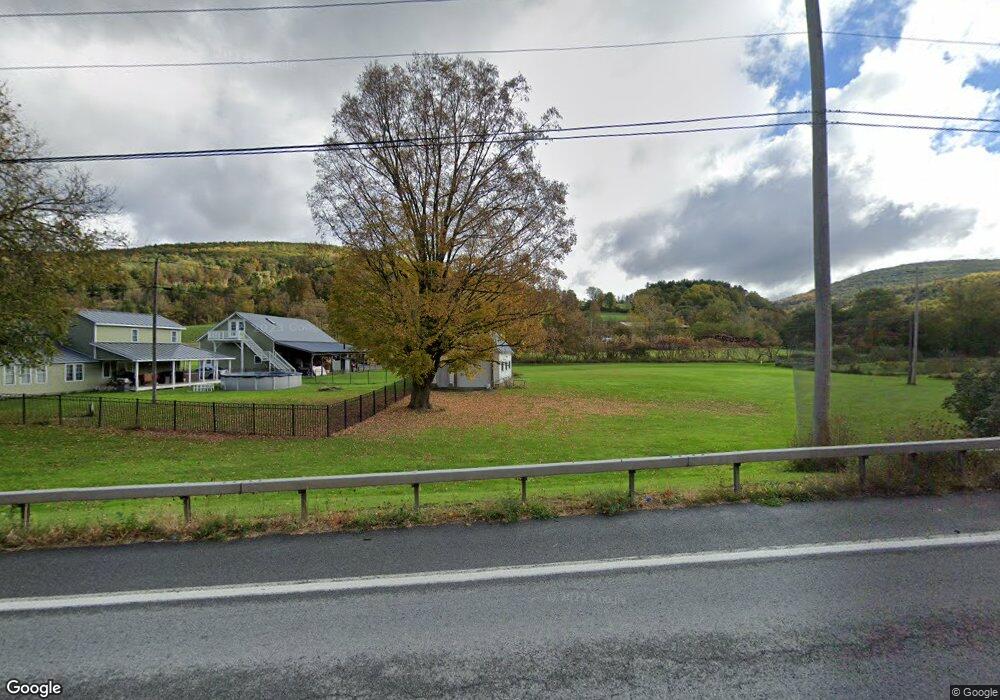
2012 State Route 145 Middleburgh, NY 12122
Estimated Value: $204,956 - $402,000
3
Beds
2
Baths
2,519
Sq Ft
$129/Sq Ft
Est. Value
About This Home
This home is located at 2012 State Route 145, Middleburgh, NY 12122 and is currently estimated at $324,985, approximately $129 per square foot. 2012 State Route 145 is a home located in Schoharie County with nearby schools including Middleburgh Elementary School, Middleburgh High School, and Country Classroom.
Ownership History
Date
Name
Owned For
Owner Type
Purchase Details
Closed on
Jul 12, 2023
Sold by
Drinon John R and Drinon Christopher L
Bought by
Drinon John R and Drinon Tammy R
Current Estimated Value
Purchase Details
Closed on
Feb 1, 2002
Sold by
Paddock Jennifer
Bought by
Drinon John R
Create a Home Valuation Report for This Property
The Home Valuation Report is an in-depth analysis detailing your home's value as well as a comparison with similar homes in the area
Home Values in the Area
Average Home Value in this Area
Purchase History
| Date | Buyer | Sale Price | Title Company |
|---|---|---|---|
| Drinon John R | -- | None Available | |
| Drinon John R | $20,000 | Michael L Breen |
Source: Public Records
Tax History Compared to Growth
Tax History
| Year | Tax Paid | Tax Assessment Tax Assessment Total Assessment is a certain percentage of the fair market value that is determined by local assessors to be the total taxable value of land and additions on the property. | Land | Improvement |
|---|---|---|---|---|
| 2024 | $3,364 | $74,050 | $16,250 | $57,800 |
| 2023 | $2,664 | $50,300 | $12,500 | $37,800 |
| 2022 | $2,741 | $50,300 | $12,500 | $37,800 |
| 2021 | $2,719 | $50,300 | $12,500 | $37,800 |
| 2020 | $2,070 | $50,300 | $12,500 | $37,800 |
| 2019 | $2,043 | $50,300 | $12,500 | $37,800 |
| 2018 | $2,043 | $50,300 | $12,500 | $37,800 |
| 2017 | $2,035 | $50,300 | $12,500 | $37,800 |
| 2016 | $2,020 | $50,300 | $12,500 | $37,800 |
| 2015 | -- | $50,300 | $12,500 | $37,800 |
| 2014 | -- | $50,300 | $12,500 | $37,800 |
Source: Public Records
Map
Nearby Homes
- 000 Huntersland Rd
- 210 Main St
- 162 Gorge Rd
- 156 Mount Path
- 0 - L16 Mount Path
- L16 Mount Path
- 272 Main St
- 115 Chestnut Ln
- 107 Railroad Ave
- 136 Wells Ave
- 143 Maple Ave
- 320 Main St
- 106.1-1-1. Cliffside Dr
- 126 Scribner Ave
- 106 River St
- 234 Mary Taylor Rd
- 133 Marjorie Ln Unit 4
- 517 Cotton Hill Rd
- 243 Brooky Hollow Rd
- 4515 State Route 30
- 2020 State Route 145
- 2019 State Route 145
- 2003 State Route 145
- 2023 State Route 145
- 2029 State Route 145
- 2031 New York 145
- 2031 State Route 145
- 2033 New York 145
- 2015 State Route 145
- 2052 State Route 145
- 2052 New York 145
- 114 Weimorse Ln
- 1973 State Route 145
- 2059 State Route 145
- 108 Weimorse Ln
- 2087 Huntersland Rd
- 2082 Huntersland Rd
- 105 Bunny Hill Rd
- 2084 New York 145
- 2092 Huntersland Rd