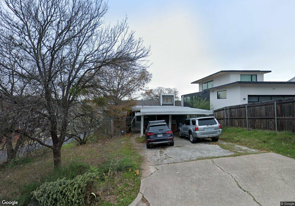
2012 Westridge Dr Unit A Austin, TX 78704
Barton Hills NeighborhoodEstimated Value: $921,400 - $1,093,000
2
Beds
2
Baths
950
Sq Ft
$1,056/Sq Ft
Est. Value
About This Home
This home is located at 2012 Westridge Dr Unit A, Austin, TX 78704 and is currently estimated at $1,002,850, approximately $1,055 per square foot. 2012 Westridge Dr Unit A is a home located in Travis County with nearby schools including Austin High School, St Austin Catholic School, and San Juan Diego Catholic High School.
Ownership History
Date
Name
Owned For
Owner Type
Purchase Details
Closed on
Apr 23, 2009
Sold by
Grunnah Robert
Bought by
Campbell Jay
Current Estimated Value
Home Financials for this Owner
Home Financials are based on the most recent Mortgage that was taken out on this home.
Original Mortgage
$318,250
Outstanding Balance
$203,336
Interest Rate
5.14%
Mortgage Type
Purchase Money Mortgage
Estimated Equity
$799,514
Purchase Details
Closed on
May 31, 2005
Sold by
Prewett Patricia Ann and Roberts Patricia Prewett
Bought by
Grunnah Robert
Home Financials for this Owner
Home Financials are based on the most recent Mortgage that was taken out on this home.
Original Mortgage
$173,700
Interest Rate
5.79%
Mortgage Type
Fannie Mae Freddie Mac
Create a Home Valuation Report for This Property
The Home Valuation Report is an in-depth analysis detailing your home's value as well as a comparison with similar homes in the area
Home Values in the Area
Average Home Value in this Area
Purchase History
| Date | Buyer | Sale Price | Title Company |
|---|---|---|---|
| Campbell Jay | -- | Atc | |
| Grunnah Robert | -- | Gracy Title Company |
Source: Public Records
Mortgage History
| Date | Status | Borrower | Loan Amount |
|---|---|---|---|
| Open | Campbell Jay | $318,250 | |
| Previous Owner | Grunnah Robert | $173,700 |
Source: Public Records
Tax History
| Year | Tax Paid | Tax Assessment Tax Assessment Total Assessment is a certain percentage of the fair market value that is determined by local assessors to be the total taxable value of land and additions on the property. | Land | Improvement |
|---|---|---|---|---|
| 2025 | $15,243 | $744,816 | $633,326 | $111,490 |
| 2023 | $18,556 | $1,025,600 | $950,000 | $75,600 |
| 2022 | $20,314 | $1,028,606 | $950,000 | $78,606 |
| 2021 | $13,056 | $599,814 | $425,000 | $174,814 |
| 2020 | $10,832 | $505,022 | $425,000 | $80,022 |
| 2018 | $9,814 | $443,290 | $382,500 | $60,790 |
| 2017 | $10,738 | $481,505 | $360,000 | $131,597 |
| 2016 | $10,211 | $457,843 | $360,000 | $131,597 |
| 2015 | $8,325 | $424,789 | $285,000 | $180,946 |
| 2014 | $8,325 | $367,307 | $0 | $0 |
Source: Public Records
Map
Nearby Homes
- 2105 Rabb Rd
- 2401 Homedale Cir
- 2015 Holland Ave
- 2404 Arpdale St
- 1607 Rabb Rd
- 2024 Ford St
- 2500 Cedarview Dr
- 2500 Deerfoot Trail
- 2320 Montclaire St
- 2201 Arpdale St
- 2603 Rockingham Dr
- 2605 Rockingham Dr
- 2408 La Casa Dr
- 2006 Ford St
- 1503 Cliffside Dr
- 2006 de Verne St
- 2021 Bluebonnet Ln Unit 203
- 1805 Brookhaven Dr
- 1811 Bluebonnet Ln
- 1600 Barton Hills Dr
- 2012 Westridge Dr Unit B
- 2012 Westridge Dr
- 2010 Westridge Dr Unit B
- 2010 Westridge Dr Unit A
- 2010 Westridge Dr
- 2008 Westridge Dr Unit B
- 2008 Westridge Dr Unit A
- 2008 Westridge Dr
- 2100 Airole Way Unit A
- 2100 Airole Way Unit B
- 2100 Airole Way
- 2011 Barton Pkwy
- 2006 Westridge Dr
- 2009 Barton Pkwy
- 2316 Wilke Dr Unit A
- 2316 Wilke Dr Unit B
- 2316 Wilke Dr
- 2102 Airole Way Unit A
- 2011 Westridge Dr Unit B
- 2004 Westridge Dr
Your Personal Tour Guide
Ask me questions while you tour the home.