20121 Red Wing Blvd Hastings, MN 55033
Ravenna NeighborhoodEstimated Value: $430,000 - $501,000
3
Beds
3
Baths
1,556
Sq Ft
$304/Sq Ft
Est. Value
About This Home
This home is located at 20121 Red Wing Blvd, Hastings, MN 55033 and is currently estimated at $472,531, approximately $303 per square foot. 20121 Red Wing Blvd is a home located in Dakota County with nearby schools including Pinecrest Elementary School, Hastings Middle School, and Hastings High School.
Ownership History
Date
Name
Owned For
Owner Type
Purchase Details
Closed on
Sep 18, 2003
Sold by
Bauscher William J and Bauscher Cheryl
Bought by
Pottinger Randy J
Current Estimated Value
Purchase Details
Closed on
Dec 28, 2001
Sold by
Stellrecht Paul C
Bought by
Rauscher William J and Rauscher Cheryl
Purchase Details
Closed on
May 22, 1997
Sold by
Beissel Richard G and Beissel Darlene M
Bought by
Stellrecht Paul C
Create a Home Valuation Report for This Property
The Home Valuation Report is an in-depth analysis detailing your home's value as well as a comparison with similar homes in the area
Home Values in the Area
Average Home Value in this Area
Purchase History
| Date | Buyer | Sale Price | Title Company |
|---|---|---|---|
| Pottinger Randy J | $260,000 | -- | |
| Rauscher William J | $219,000 | -- | |
| Stellrecht Paul C | $24,900 | -- |
Source: Public Records
Tax History Compared to Growth
Tax History
| Year | Tax Paid | Tax Assessment Tax Assessment Total Assessment is a certain percentage of the fair market value that is determined by local assessors to be the total taxable value of land and additions on the property. | Land | Improvement |
|---|---|---|---|---|
| 2024 | $3,136 | $462,400 | $98,900 | $363,500 |
| 2023 | $3,136 | $443,200 | $95,100 | $348,100 |
| 2022 | $2,708 | $434,300 | $94,900 | $339,400 |
| 2021 | $3,070 | $359,700 | $82,500 | $277,200 |
| 2020 | $2,832 | $374,100 | $82,500 | $291,600 |
| 2019 | $2,823 | $336,400 | $78,600 | $257,800 |
| 2018 | $2,560 | $316,300 | $74,900 | $241,400 |
| 2017 | $2,390 | $278,300 | $65,800 | $212,500 |
| 2016 | $2,409 | $262,000 | $62,600 | $199,400 |
| 2015 | $2,341 | $243,326 | $57,192 | $186,134 |
| 2014 | -- | $237,331 | $56,530 | $180,801 |
| 2013 | -- | $212,588 | $50,457 | $162,131 |
Source: Public Records
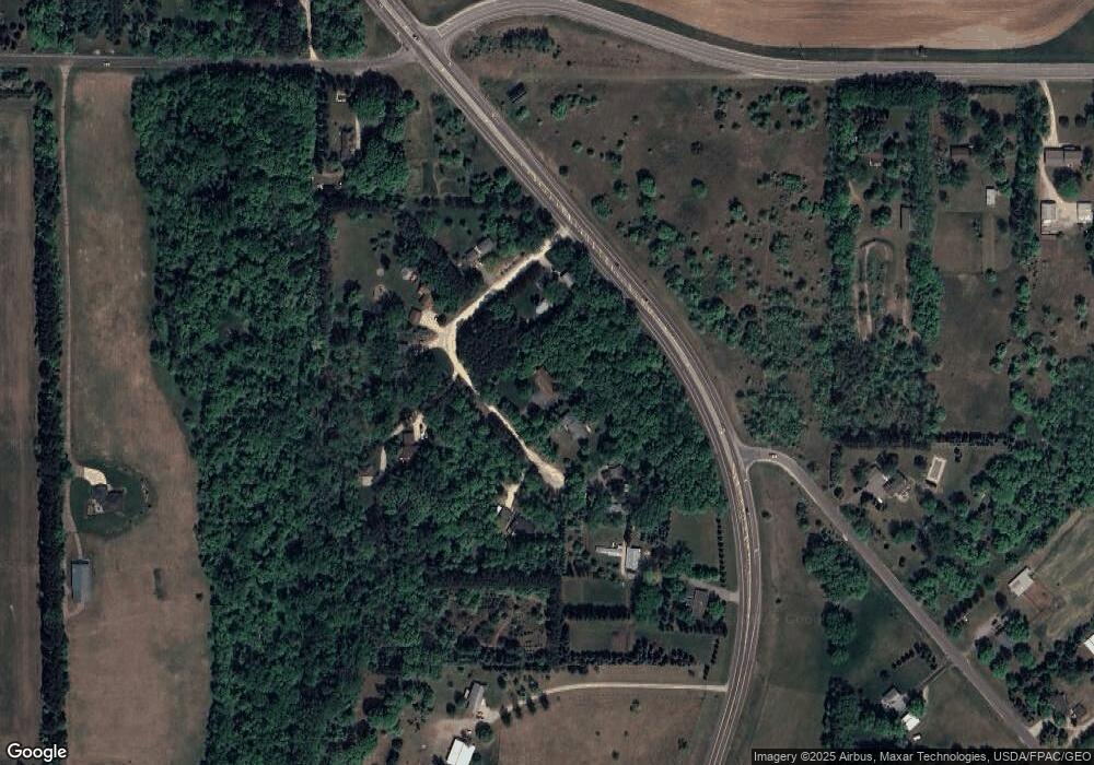
Map
Nearby Homes
- XXX Otero Ave
- 20550 Otero Ave
- XXX Red Wing Blvd
- 21211 Red Wing Blvd
- 20430 Rhoda Ave
- Lot 3 Orlando Ave
- Lot 2 Orlando Ave
- Lot 1 Orlando Ave
- TBD Ravenna Trail
- 17994 Michael Ave
- 4198 Starling Dr
- 545 Tuttle Dr
- 115 Kinglet Dr
- 18135 Lillehei Ave
- N4387 1115th St
- 182 Sandpiper Cir
- 2341 Glacier Way
- 2211 Glacier Way
- 3560 Malcolm Ave
- 2422 Rushmore Rd
- 20157 Red Wing Blvd
- 20095 Red Wing Blvd
- 20195 Red Wing Blvd
- 210XX Putting Ave
- 20091 Red Wing Blvd
- 20115 Red Wing Blvd
- 20115 Red Wing Blvd
- 20500 Polk Ave
- 20171 Red Wing Blvd
- 20155 Red Wing Blvd
- 20269 Polk Ave
- 20015 Red Wing Blvd
- 20325 Polk Ave
- 20240 Red Wing Blvd
- 16760 200th St E
- 16800 200th St E
- 20251 Red Wing Blvd
- 16386 200th St E
- 16455 200th St E
- 20320 Red Wing Blvd