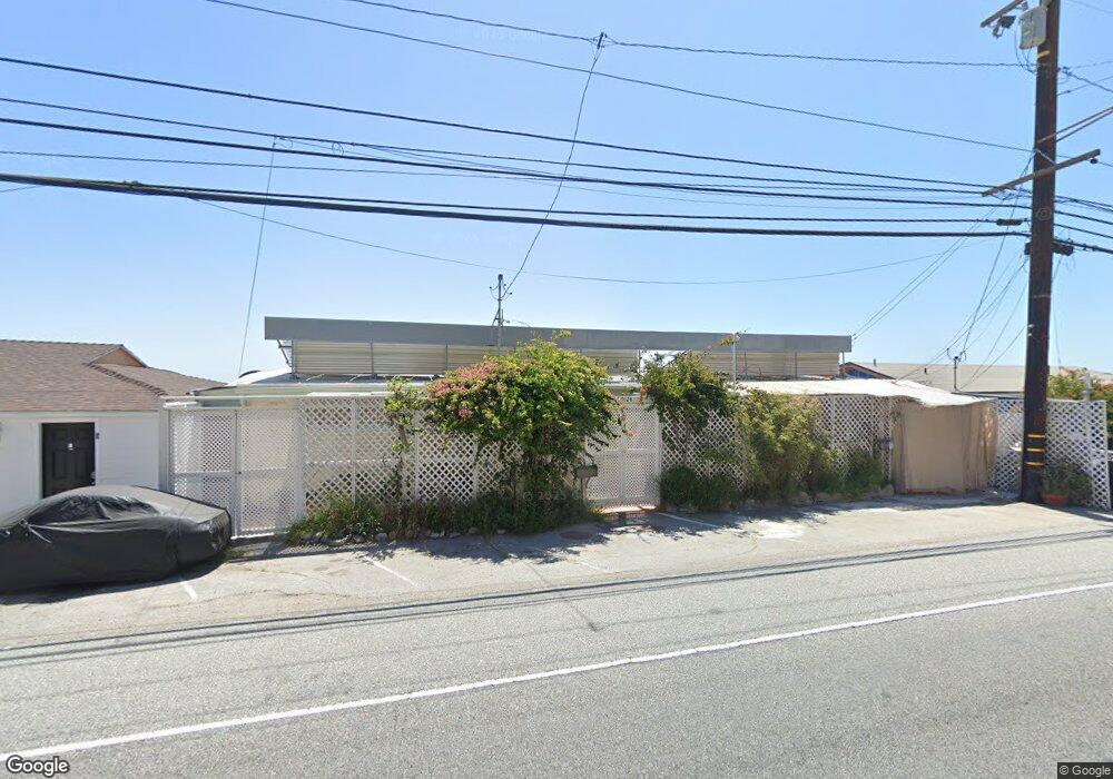
20124 Pacific Coast Hwy Unit 1 Malibu, CA 90265
Estimated Value: $2,081,090 - $6,537,000
1
Bed
3
Baths
1,937
Sq Ft
$2,004/Sq Ft
Est. Value
About This Home
This home is located at 20124 Pacific Coast Hwy Unit 1, Malibu, CA 90265 and is currently estimated at $3,882,030, approximately $2,004 per square foot. 20124 Pacific Coast Hwy Unit 1 is a home located in Los Angeles County with nearby schools including Webster Elementary School, Malibu Middle School, and Malibu High School.
Ownership History
Date
Name
Owned For
Owner Type
Purchase Details
Closed on
Nov 22, 2019
Sold by
Beath Andrew F
Bought by
Earthways Foundation Inc
Current Estimated Value
Purchase Details
Closed on
Oct 20, 1995
Sold by
Lowenstein Joseph R and Lowenstein Gail S
Bought by
Beath Andrew F
Home Financials for this Owner
Home Financials are based on the most recent Mortgage that was taken out on this home.
Original Mortgage
$314,100
Interest Rate
7.59%
Create a Home Valuation Report for This Property
The Home Valuation Report is an in-depth analysis detailing your home's value as well as a comparison with similar homes in the area
Home Values in the Area
Average Home Value in this Area
Purchase History
| Date | Buyer | Sale Price | Title Company |
|---|---|---|---|
| Earthways Foundation Inc | -- | First American Title Company | |
| Beath Andrew F | $532,500 | -- |
Source: Public Records
Mortgage History
| Date | Status | Borrower | Loan Amount |
|---|---|---|---|
| Previous Owner | Beath Andrew F | $314,100 |
Source: Public Records
Tax History Compared to Growth
Tax History
| Year | Tax Paid | Tax Assessment Tax Assessment Total Assessment is a certain percentage of the fair market value that is determined by local assessors to be the total taxable value of land and additions on the property. | Land | Improvement |
|---|---|---|---|---|
| 2025 | $13,966 | $884,604 | $664,498 | $220,106 |
| 2024 | $13,966 | $867,260 | $651,469 | $215,791 |
| 2023 | $13,673 | $850,256 | $638,696 | $211,560 |
| 2022 | $13,449 | $833,585 | $626,173 | $207,412 |
| 2021 | $13,080 | $817,242 | $613,896 | $203,346 |
| 2020 | $12,970 | $809,203 | $607,602 | $201,601 |
| 2019 | $12,782 | $793,344 | $595,689 | $197,655 |
| 2018 | $12,208 | $777,796 | $584,009 | $193,787 |
| 2016 | $11,711 | $747,268 | $561,332 | $185,936 |
| 2015 | $11,554 | $736,045 | $552,901 | $183,144 |
| 2014 | $11,435 | $721,628 | $542,071 | $179,557 |
Source: Public Records
Map
Nearby Homes
- 2860 Sweetwater Mesa Rd
- 20259 Inland Ln
- 20222 Pacific Coast Hwy
- 20228 Pacific Coast Hwy
- 20454 Roca Chica Dr
- 20300 Pacific Coast Hwy
- 20314 Pacific Coast Hwy
- 20374 Seaboard Rd
- 20434 Seaboard Rd
- 20545 Roca Chica Dr
- 20436 Pacific Coast Hwy
- 19706 Pacific Coast Hwy
- 20460 Pacific Coast Hwy
- 19620 Pacific Coast Hwy
- 20556 Little Rock Way
- 20538 Pacific Coast Hwy
- 20555 Little Rock Way
- 20604 Pacific Coast Hwy
- 20608 Pacific Coast Hwy
- 20610 Pacific Coast Hwy
- 20124 Pacific Coast Hwy
- 20132 Pacific Coast Hwy
- 20120 Pacific Coast Hwy Unit 2
- 20120 Pacific Coast Hwy Unit 3
- 20120 Pacific Coast Hwy Unit 1
- 20120 Pacific Coast Hwy
- 20116 Pacific Coast Hwy
- 20136 Pacific Coast Hwy
- 20112 Pacific Coast Hwy
- 20140 Pacific Coast Hwy
- 20118 Pacific Coast Hwy
- 20108 Pacific Coast Hwy
- 20152 Pacific Coast Hwy
- 20102 Pacific Coast Hwy
- 20062 Pacific Coast Hwy Unit 1
- 20062 Pacific Coast Hwy Unit 3
- 20062 Pacific Coast Hwy
- 20272 Inland Ln
- 20058 Pacific Coast Hwy Unit 2
- 20058 Pacific Coast Hwy Unit 3