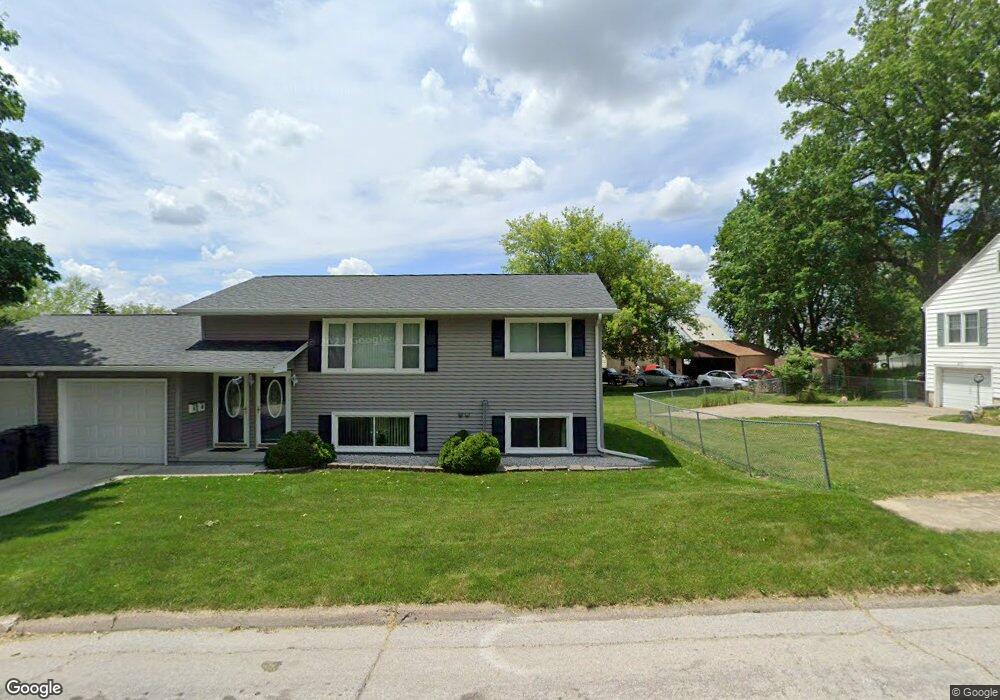
2013 Belle Ave Unit 2015 Cedar Falls, IA 50613
Estimated Value: $210,000 - $248,000
4
Beds
2
Baths
936
Sq Ft
$242/Sq Ft
Est. Value
About This Home
This home is located at 2013 Belle Ave Unit 2015, Cedar Falls, IA 50613 and is currently estimated at $226,183, approximately $241 per square foot. 2013 Belle Ave Unit 2015 is a home located in Black Hawk County with nearby schools including Cedar Heights Elementary School, Peet Junior High School, and Cedar Falls High School.
Ownership History
Date
Name
Owned For
Owner Type
Purchase Details
Closed on
Feb 9, 2024
Sold by
Oelmann Dennis W and Oelmann Lisa M
Bought by
Dennis J Oelmann Revocable Trust
Current Estimated Value
Purchase Details
Closed on
Feb 27, 2006
Sold by
Schares Elaine M and Schares Kimberly A
Bought by
Oelmann Dennis J
Home Financials for this Owner
Home Financials are based on the most recent Mortgage that was taken out on this home.
Original Mortgage
$108,500
Interest Rate
6.2%
Mortgage Type
New Conventional
Create a Home Valuation Report for This Property
The Home Valuation Report is an in-depth analysis detailing your home's value as well as a comparison with similar homes in the area
Home Values in the Area
Average Home Value in this Area
Purchase History
| Date | Buyer | Sale Price | Title Company |
|---|---|---|---|
| Dennis J Oelmann Revocable Trust | -- | None Listed On Document | |
| Oelmann Dennis J | $148,500 | Title Services Corporation |
Source: Public Records
Mortgage History
| Date | Status | Borrower | Loan Amount |
|---|---|---|---|
| Previous Owner | Oelmann Dennis J | $108,500 |
Source: Public Records
Tax History Compared to Growth
Tax History
| Year | Tax Paid | Tax Assessment Tax Assessment Total Assessment is a certain percentage of the fair market value that is determined by local assessors to be the total taxable value of land and additions on the property. | Land | Improvement |
|---|---|---|---|---|
| 2025 | $3,352 | $230,760 | $21,830 | $208,930 |
| 2024 | $3,352 | $208,280 | $21,830 | $186,450 |
| 2023 | $3,130 | $208,280 | $21,830 | $186,450 |
| 2022 | $3,168 | $169,540 | $21,830 | $147,710 |
| 2021 | $2,978 | $169,540 | $21,830 | $147,710 |
| 2020 | $2,920 | $159,990 | $18,710 | $141,280 |
| 2019 | $2,920 | $159,990 | $18,710 | $141,280 |
| 2018 | $2,696 | $145,870 | $18,710 | $127,160 |
| 2017 | $2,754 | $145,870 | $18,710 | $127,160 |
| 2016 | $2,578 | $145,870 | $18,710 | $127,160 |
| 2015 | $2,578 | $145,870 | $18,710 | $127,160 |
| 2014 | $2,504 | $140,090 | $18,710 | $121,380 |
Source: Public Records
Map
Nearby Homes
- 1221 Parker St
- 1117 Melrose Dr
- 1316 Sunnyside Dr
- 1802 Waterloo Rd
- 1304 Grand Blvd
- 1609 Rainbow Dr
- 1927 Ashland Ave
- 1916 Ashland Ave
- 2601 Victory Dr
- 1830 Madison St
- 2513 Ashland Ave
- 2912 Tucson Dr
- 2309 California St
- 1011 Grove St
- 315 W 21st St
- 1513 Cherry Ln
- 2316 Franklin St
- 1103 State St
- 1003 Bluff St
- 1804 Tremont St
- 2003 Belle Ave
- 2032 Waterloo Rd
- 1103 Parker St
- 2028 Waterloo Rd
- 1939 Belle Ave
- 2036 Waterloo Rd
- 2024 Waterloo Rd
- 1104 Parker St
- 2040 Waterloo Rd
- 1935 Belle Ave
- 1104 Madison St
- 1108 Madison St
- 2018 Waterloo Rd
- 1931 Belle Ave
- 1116 Madison St
- 1110 Parker St
- 1121 Parker St
- 1122 Madison St
- 1926 Belle Ave
- 2037 Waterloo Rd