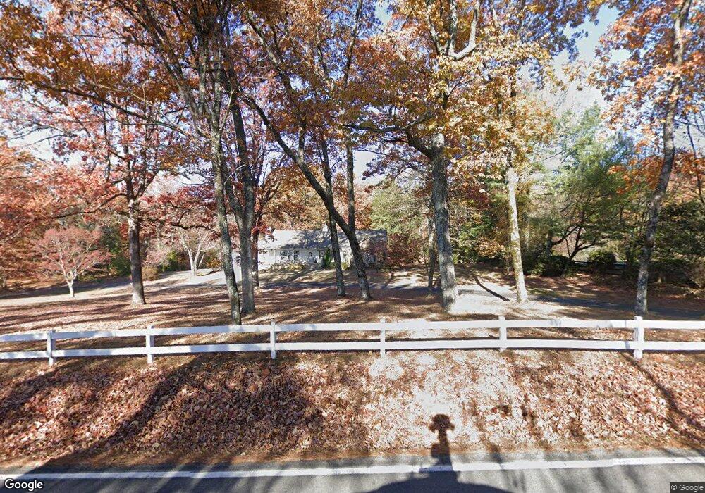
2013 E Brow Rd Signal Mountain, TN 37377
Walden NeighborhoodEstimated Value: $1,068,000 - $1,176,000
4
Beds
3
Baths
3,462
Sq Ft
$322/Sq Ft
Est. Value
About This Home
This home is located at 2013 E Brow Rd, Signal Mountain, TN 37377 and is currently estimated at $1,113,774, approximately $321 per square foot. 2013 E Brow Rd is a home located in Hamilton County with nearby schools including Nolan Elementary School, Signal Mountain Middle/High School, and Signal Mountain Christian School.
Ownership History
Date
Name
Owned For
Owner Type
Purchase Details
Closed on
Jul 9, 2007
Sold by
Bc Holdings
Bought by
Leonard William O and Leonard Anne D
Current Estimated Value
Purchase Details
Closed on
Apr 17, 2007
Sold by
Cooper Michael E and Cooper Diane O
Bought by
Bc Holdings
Home Financials for this Owner
Home Financials are based on the most recent Mortgage that was taken out on this home.
Original Mortgage
$610,000
Interest Rate
6.1%
Mortgage Type
Purchase Money Mortgage
Purchase Details
Closed on
Nov 24, 2006
Sold by
Holt Benton B and Holt James W
Bought by
Cooper Michael E and Cooper Diane O
Purchase Details
Closed on
Jun 23, 2006
Sold by
Estate Of Robin E Holt
Bought by
Cooper Michael E and Cooper Diane O
Home Financials for this Owner
Home Financials are based on the most recent Mortgage that was taken out on this home.
Original Mortgage
$460,000
Interest Rate
6.49%
Mortgage Type
Purchase Money Mortgage
Create a Home Valuation Report for This Property
The Home Valuation Report is an in-depth analysis detailing your home's value as well as a comparison with similar homes in the area
Home Values in the Area
Average Home Value in this Area
Purchase History
| Date | Buyer | Sale Price | Title Company |
|---|---|---|---|
| Leonard William O | $730,000 | First Title | |
| Bc Holdings | $610,000 | First Title | |
| Cooper Michael E | -- | Legal Title | |
| Cooper Michael E | $575,000 | Legal Title |
Source: Public Records
Mortgage History
| Date | Status | Borrower | Loan Amount |
|---|---|---|---|
| Previous Owner | Bc Holdings | $610,000 | |
| Previous Owner | Cooper Michael E | $460,000 |
Source: Public Records
Tax History Compared to Growth
Tax History
| Year | Tax Paid | Tax Assessment Tax Assessment Total Assessment is a certain percentage of the fair market value that is determined by local assessors to be the total taxable value of land and additions on the property. | Land | Improvement |
|---|---|---|---|---|
| 2024 | $3,547 | $158,525 | $0 | $0 |
| 2023 | $4,389 | $158,525 | $0 | $0 |
| 2022 | $4,389 | $158,525 | $0 | $0 |
| 2021 | $4,389 | $158,525 | $0 | $0 |
| 2020 | $5,058 | $150,075 | $0 | $0 |
| 2019 | $4,908 | $150,075 | $0 | $0 |
| 2018 | $4,758 | $150,075 | $0 | $0 |
| 2017 | $4,728 | $150,075 | $0 | $0 |
| 2016 | $4,537 | $0 | $0 | $0 |
| 2015 | $4,537 | $142,050 | $0 | $0 |
| 2014 | $4,537 | $0 | $0 | $0 |
Source: Public Records
Map
Nearby Homes
- 3002 Wilson Ave
- 3612 Taft Hwy
- 1702 James Blvd
- 848 Skyline Park Dr
- 837 Skyline Park Dr
- 0 Skyline Park Dr Unit 1525124
- 714 Berry Spring Path
- 3680 Wilson Ave
- 10 Acres Majestic Oaks Dr
- 10 Majestic Oaks Dr
- 0 Majestic Oaks Dr Unit 24033570
- 11 Saint Nicholas Way
- 12 Mountain Orchard Path
- 2804 Taft Hwy
- 25 Ridgerock Dr
- 1305 E Brow Rd
- 1301 E Brow Rd
- 1713 Timesville Rd
- 0 Mountain Creek Rd Unit 1515503
- 800 Reads Lake Rd
- 2103 E Brow Rd
- 2109 Altura Dr
- 1915 E Brow Rd
- 1914 E Brow Rd
- 2115 Altura Dr
- 1909 E Brow Rd
- 2111 Altura Dr
- 2214 Altura Dr
- 2113 E Brow Rd
- 1900 E Brow Rd
- 2113 Altura Dr
- 2011 Altura Dr
- 2011 Altura Dr Unit 1
- 2157 E Brow Rd
- 2305 Altura Dr
- 2518 Wilson Ave
- 1191 Claridge Ct
- 2309 Altura Dr
- 2211 E Brow Rd
- 1810 E Brow Rd