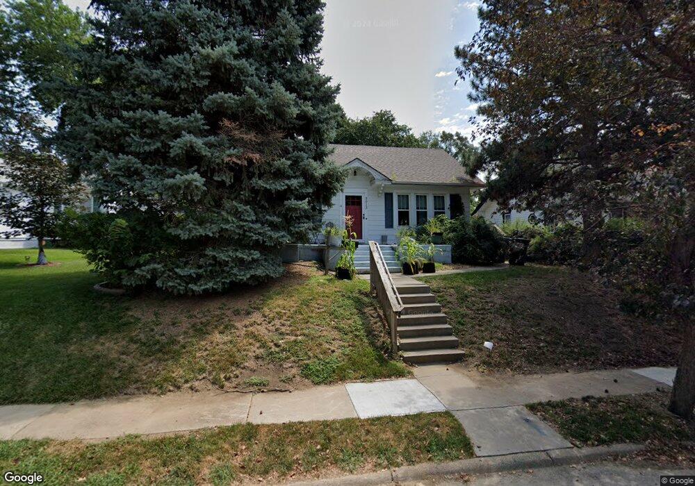
2013 N 49th Ave Omaha, NE 68104
Military Avenue NeighborhoodEstimated Value: $207,588 - $249,000
2
Beds
3
Baths
1,070
Sq Ft
$209/Sq Ft
Est. Value
About This Home
This home is located at 2013 N 49th Ave, Omaha, NE 68104 and is currently estimated at $223,897, approximately $209 per square foot. 2013 N 49th Ave is a home located in Douglas County with nearby schools including Harrison Elementary School, Lewis & Clark Middle School, and Benson Magnet High School.
Ownership History
Date
Name
Owned For
Owner Type
Purchase Details
Closed on
Feb 11, 2013
Sold by
Rolfs Diversifield Properties Llc
Bought by
Rolfs Brian L
Current Estimated Value
Home Financials for this Owner
Home Financials are based on the most recent Mortgage that was taken out on this home.
Original Mortgage
$77,250
Outstanding Balance
$53,888
Interest Rate
3.44%
Mortgage Type
New Conventional
Estimated Equity
$170,009
Purchase Details
Closed on
Aug 7, 2003
Sold by
Rolfs Brian Lee
Bought by
Rolfs Family Llc
Create a Home Valuation Report for This Property
The Home Valuation Report is an in-depth analysis detailing your home's value as well as a comparison with similar homes in the area
Home Values in the Area
Average Home Value in this Area
Purchase History
| Date | Buyer | Sale Price | Title Company |
|---|---|---|---|
| Rolfs Brian L | -- | Dri Title & Escrow | |
| Rolfs Family Llc | -- | -- |
Source: Public Records
Mortgage History
| Date | Status | Borrower | Loan Amount |
|---|---|---|---|
| Open | Rolfs Brian L | $77,250 |
Source: Public Records
Tax History Compared to Growth
Tax History
| Year | Tax Paid | Tax Assessment Tax Assessment Total Assessment is a certain percentage of the fair market value that is determined by local assessors to be the total taxable value of land and additions on the property. | Land | Improvement |
|---|---|---|---|---|
| 2025 | $2,848 | $190,800 | $27,700 | $163,100 |
| 2024 | $3,331 | $173,300 | $27,700 | $145,600 |
| 2023 | $3,331 | $157,900 | $27,700 | $130,200 |
| 2022 | $2,845 | $133,300 | $27,700 | $105,600 |
| 2021 | $2,474 | $116,900 | $27,700 | $89,200 |
| 2020 | $2,503 | $116,900 | $27,700 | $89,200 |
| 2019 | $2,300 | $107,100 | $9,100 | $98,000 |
| 2018 | $2,303 | $107,100 | $9,100 | $98,000 |
| 2017 | $1,822 | $84,900 | $6,400 | $78,500 |
| 2016 | $1,822 | $84,900 | $6,400 | $78,500 |
| 2015 | $1,797 | $84,900 | $6,400 | $78,500 |
| 2014 | $1,797 | $84,900 | $6,400 | $78,500 |
Source: Public Records
Map
Nearby Homes
- 2031 N 49th St
- 2318 N 49th St
- 1801 N 49th St
- 2016 N 48th St
- 2214 N 48th St
- 1721 N 49th St
- 2408 N 49th St
- 4855 NW Radial Hwy
- 4719 Grant St
- 2516 N 49th St
- 2516 N 48th Ave
- 2523 N 49th Ave
- 4819 Franklin St
- 2525 N 48th Ave
- 5143 Blondo St
- 4523 Blondo St
- 5139 Parker St
- 5139 Erskine St
- 2476 N 47th Ave
- 5041 Seward St
- 2009 N 49th Ave
- 2017 N 49th Ave
- 2005 N 49th Ave
- 2025 N 49th Ave
- 2014 N 49th St
- 4918 Blondo St
- 2010 N 49th St
- 2020 N 49th St
- 2008 N 49th St
- 2014 N 49th Ave
- 2020 N 49th Ave
- 2012 N 49th Ave
- 2031 N 49th Ave
- 2028 N 49th St
- 2024 N 49th Ave
- 2006 N 49th Ave
- 2028 N 49th Ave
- 2032 N 49th St
- 2035 N 49th Ave
- 1837 N 49th Ave