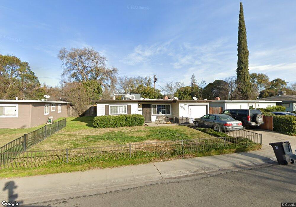
2013 Rutledge Way Unit 9 Stockton, CA 95207
Lincoln Village NeighborhoodEstimated Value: $286,000 - $404,000
4
Beds
1
Bath
1,363
Sq Ft
$267/Sq Ft
Est. Value
About This Home
This home is located at 2013 Rutledge Way Unit 9, Stockton, CA 95207 and is currently estimated at $364,448, approximately $267 per square foot. 2013 Rutledge Way Unit 9 is a home located in San Joaquin County with nearby schools including Tully C. Knoles School, Sierra Middle School, and Lincoln High School.
Ownership History
Date
Name
Owned For
Owner Type
Purchase Details
Closed on
Mar 22, 2024
Sold by
Truit Kathy Lynn
Bought by
Kathy Thurow 2024 Revocable Trust and Thurow
Current Estimated Value
Purchase Details
Closed on
Aug 21, 2002
Sold by
Truitt Donald Edwin
Bought by
Truit Kathy Lynn
Home Financials for this Owner
Home Financials are based on the most recent Mortgage that was taken out on this home.
Original Mortgage
$92,568
Interest Rate
6.29%
Mortgage Type
FHA
Purchase Details
Closed on
Aug 3, 1995
Sold by
Bras Mack
Bought by
Herron Kathy Lynn
Home Financials for this Owner
Home Financials are based on the most recent Mortgage that was taken out on this home.
Original Mortgage
$90,695
Interest Rate
7.71%
Mortgage Type
FHA
Create a Home Valuation Report for This Property
The Home Valuation Report is an in-depth analysis detailing your home's value as well as a comparison with similar homes in the area
Home Values in the Area
Average Home Value in this Area
Purchase History
| Date | Buyer | Sale Price | Title Company |
|---|---|---|---|
| Kathy Thurow 2024 Revocable Trust | -- | None Listed On Document | |
| Truit Kathy Lynn | -- | Central Valley Title Company | |
| Herron Kathy Lynn | $92,000 | Commonwealth Land Title Ins |
Source: Public Records
Mortgage History
| Date | Status | Borrower | Loan Amount |
|---|---|---|---|
| Previous Owner | Truit Kathy Lynn | $92,568 | |
| Previous Owner | Herron Kathy Lynn | $90,695 |
Source: Public Records
Tax History Compared to Growth
Tax History
| Year | Tax Paid | Tax Assessment Tax Assessment Total Assessment is a certain percentage of the fair market value that is determined by local assessors to be the total taxable value of land and additions on the property. | Land | Improvement |
|---|---|---|---|---|
| 2025 | $3,893 | $152,154 | $66,443 | $85,711 |
| 2024 | $3,769 | $149,172 | $65,141 | $84,031 |
| 2023 | $3,677 | $146,248 | $63,864 | $82,384 |
| 2022 | $3,519 | $143,381 | $62,612 | $80,769 |
| 2021 | $3,457 | $140,571 | $61,385 | $79,186 |
| 2020 | $3,423 | $139,131 | $60,756 | $78,375 |
| 2019 | $3,397 | $136,404 | $59,565 | $76,839 |
| 2018 | $3,317 | $133,731 | $58,398 | $75,333 |
| 2017 | $3,285 | $131,109 | $57,253 | $73,856 |
| 2016 | $3,044 | $128,538 | $56,130 | $72,408 |
| 2014 | $3,082 | $124,129 | $54,205 | $69,924 |
Source: Public Records
Map
Nearby Homes
- 1864 Polk Way
- 2252 W Benjamin Holt Dr
- 1703 Polk Way
- 1720 Mcclellan Way
- 2447 Calhoun Way
- 1633 Porter Way
- 1629 Porter Way
- 1707 W Swain Rd Unit 5
- 1545 Douglas Rd
- 1719 W Swain Rd Unit A
- 1608 Porter Way
- 2316 W Swain Rd
- 2423 W Swain Rd
- 1583 W Swain Rd
- 1489 W Swain Rd
- 5860 Alexandria Place
- 6523 Vicksburg Place
- 2128 Canyon Creek Dr
- 7012 Richmond Place
- 2738 W Benjamin Holt Dr
- 2023 Rutledge Way
- 2003 Rutledge Way
- 2016 Sheridan Way
- 2031 Rutledge Way
- 1959 Rutledge Way Unit 9
- 2028 Sheridan Way
- 2004 Sheridan Way
- 2014 Rutledge Way
- 2041 Rutledge Way Unit 9
- 1949 Rutledge Way
- 2006 Rutledge Way
- 2040 Sheridan Way
- 2032 Rutledge Way
- 1958 Sheridan Way
- 1960 Rutledge Way
- 2042 Rutledge Way
- 1939 Rutledge Way
- 1952 Rutledge Way
- 2055 Rutledge Way
- 6572 Williamsburg Place