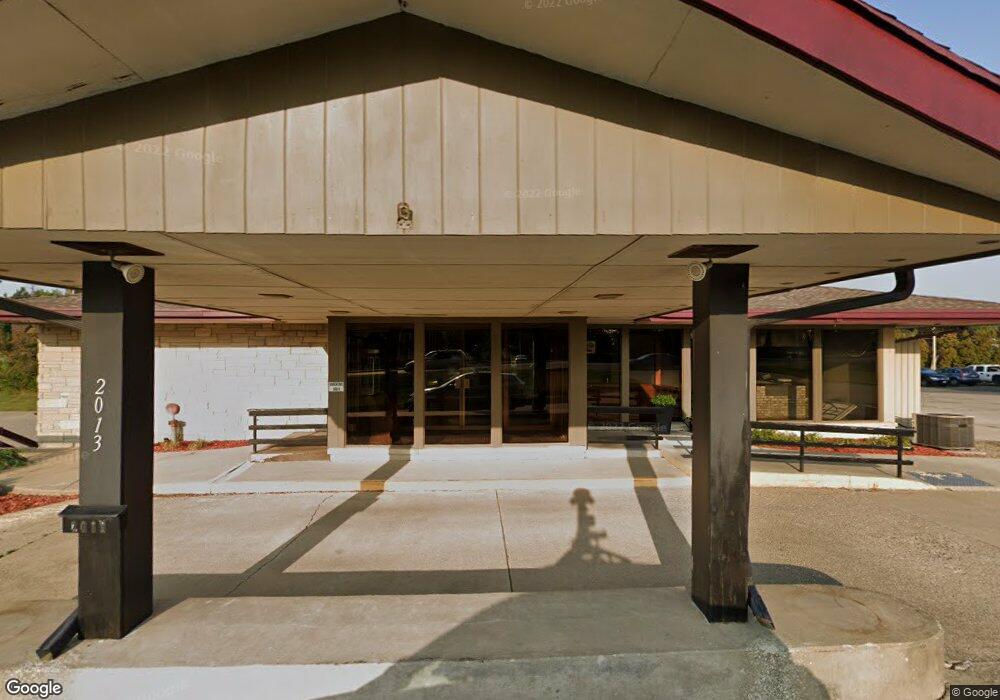
2013 S Center St Marshalltown, IA 50158
Estimated Value: $147,000
--
Bed
--
Bath
4,484
Sq Ft
$33/Sq Ft
Est. Value
About This Home
This home is located at 2013 S Center St, Marshalltown, IA 50158 and is currently priced at $147,000, approximately $32 per square foot. 2013 S Center St is a home located in Marshall County with nearby schools including Fisher Elementary School, B.R. Miller Middle School, and Marshalltown High School.
Ownership History
Date
Name
Owned For
Owner Type
Purchase Details
Closed on
Sep 12, 2017
Sold by
Calvin Rockett Llc
Bought by
East India Company Llc
Current Estimated Value
Purchase Details
Closed on
Mar 10, 2014
Sold by
Shore Timothy L and Shore Marcia K
Bought by
Calvin Rockett Llc
Home Financials for this Owner
Home Financials are based on the most recent Mortgage that was taken out on this home.
Original Mortgage
$160,945
Outstanding Balance
$122,222
Interest Rate
4.39%
Mortgage Type
Future Advance Clause Open End Mortgage
Purchase Details
Closed on
Feb 7, 2011
Sold by
Holm Michael E and Holm Susan T
Bought by
Shore Timothy L and Shore Maricia K
Home Financials for this Owner
Home Financials are based on the most recent Mortgage that was taken out on this home.
Original Mortgage
$215,156
Interest Rate
4.89%
Mortgage Type
Future Advance Clause Open End Mortgage
Create a Home Valuation Report for This Property
The Home Valuation Report is an in-depth analysis detailing your home's value as well as a comparison with similar homes in the area
Home Values in the Area
Average Home Value in this Area
Purchase History
| Date | Buyer | Sale Price | Title Company |
|---|---|---|---|
| East India Company Llc | -- | None Available | |
| Calvin Rockett Llc | -- | None Available | |
| Shore Timothy L | $97,500 | None Available |
Source: Public Records
Mortgage History
| Date | Status | Borrower | Loan Amount |
|---|---|---|---|
| Open | Calvin Rockett Llc | $160,945 | |
| Previous Owner | Shore Timothy L | $215,156 |
Source: Public Records
Tax History Compared to Growth
Tax History
| Year | Tax Paid | Tax Assessment Tax Assessment Total Assessment is a certain percentage of the fair market value that is determined by local assessors to be the total taxable value of land and additions on the property. | Land | Improvement |
|---|---|---|---|---|
| 2024 | $11,828 | $393,630 | $182,520 | $211,110 |
| 2023 | $10,790 | $393,630 | $182,520 | $211,110 |
| 2022 | $10,132 | $351,610 | $182,520 | $169,090 |
| 2021 | $9,442 | $351,610 | $182,520 | $169,090 |
| 2020 | $12,734 | $338,660 | $182,520 | $156,140 |
Source: Public Records
Map
Nearby Homes
- 2019 Catalina Place
- 217 Westwood Dr
- 201 Thunderbird Dr
- 110 Palmer St
- 2307 Maple Blvd
- 407 Wauconda Rd
- 10 W Olive St
- 102 W Southridge Rd
- 403 Thunderbird Dr
- 404 Friendly Dr
- 1606 Crestview Dr
- 505 Edgeland Dr
- 507 Edgeland Dr
- 703 Arlington Dr
- 1704 Rainbow Dr
- 903 E Southridge Rd
- 901 E Southridge Rd
- 803 E Southridge Rd
- 801 E Southridge Rd
- 1411 S Center St
- 102 Pleasantview Rd
- 7 Westwood Dr
- 104 Pleasantview Rd
- 2009 S Center St
- 106 Pleasantview Rd
- 2110 S Center St
- 2109 S 1st Ave
- 108 Pleasantview Rd
- 101 Pleasantview Rd
- 105 Westwood Dr
- 103 Pleasantview Rd
- 10 Westwood Dr
- 10 Westwood Dr Unit RE
- 2101 S Center St Unit 21
- 2101 S Center St
- 105 Pleasantview Rd
- 110 Pleasantview Rd
- 202 Pleasantview Rd
- 102 Westwood Dr
- 204 Pleasantview Rd